

Archive · 5 Sep 2026
UN Backs African Push to Correct Distorted World Maps
Earth is round, but maps are flat, so every world map changes something.
The Mercator map was made to help sailors follow directions.
It keeps constant compass directions as straight lines.
However, it makes places near the North and South Poles look much larger than they really are.
That is why Greenland can look almost as big as Africa.
In reality, Africa is about 14 times larger than Greenland.
The African Union wants schools and organisations to use maps that show land areas more fairly when size comparisons matter.
Equal Earth is one map that keeps the relative areas of continents closer to reality.
The UN resolution supports this idea but does not make Mercator maps illegal.

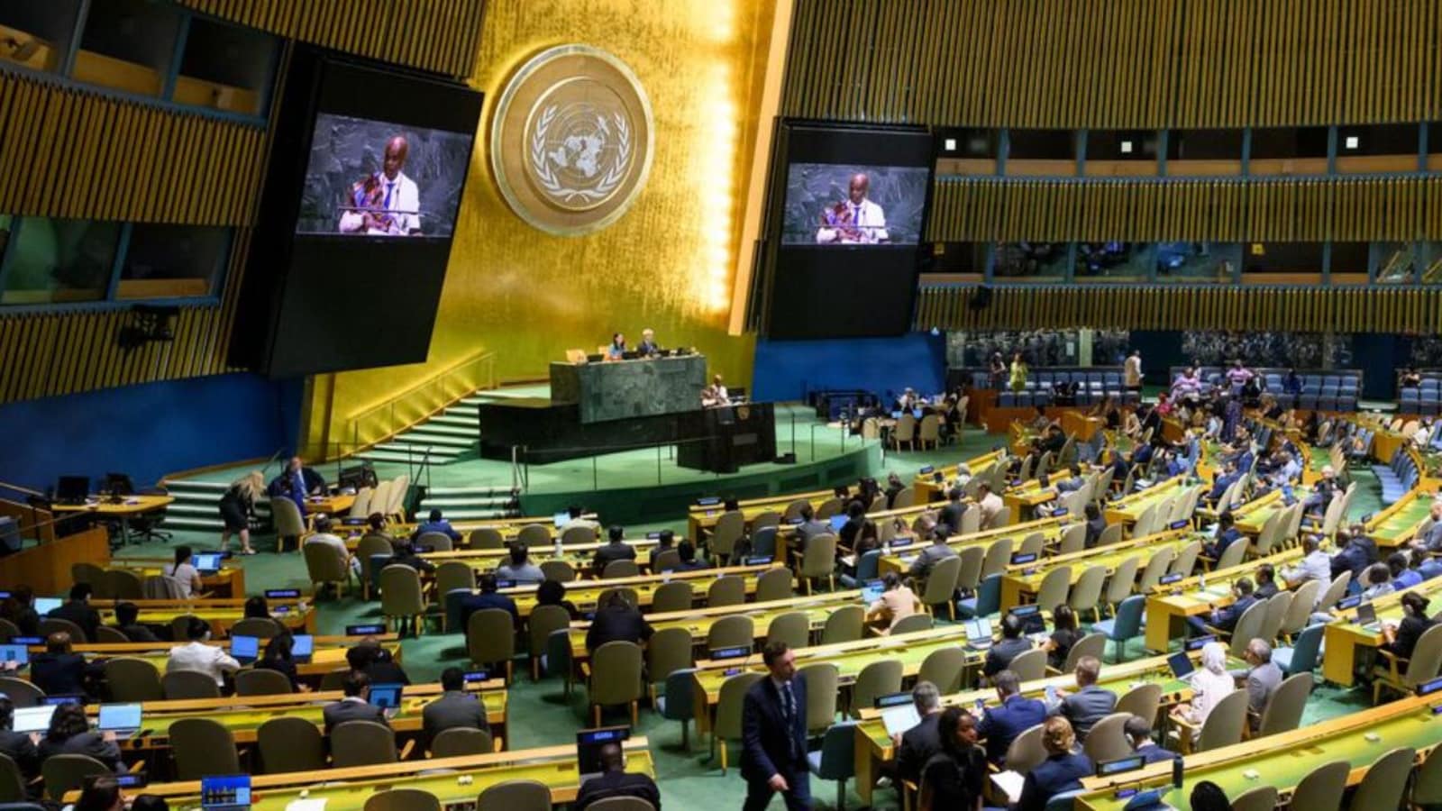
The UN General Assembly adopted the African Union-supported “Correct the Map” resolution on September 4, 2026.
The resolution received 164 votes in favour; the United States voted against and six countries abstained.
Mercator maps enlarge regions near the poles, making Greenland appear nearly as large as Africa even though Africa is about 14 times larger.
Equal Earth and Eckert IV are equal-area alternatives that preserve more accurate relative land sizes while distorting other properties.
The resolution is not legally binding, does not ban Mercator maps, and does not require every existing map to be replaced.
- Who
- The United Nations General Assembly, the African Union and Togo-led African Group supported the initiative; the United States opposed it, while six countries abstained.
- What
- The UN backed the “Correct the Map” initiative, which promotes more accurate depictions of the relative sizes of Africa and other landmasses.
- When
- The resolution was adopted on September 4, 2026.
- Where
- The decision was made in the United Nations General Assembly.
- Why
- The initiative seeks to address the Mercator projection’s enlargement of high-latitude regions and its distortion of relative continental areas.
African-led map reform
Mercator’s specialized use and objections
How continents should be shown
African-led map reform
The African Union and its supporters argue that maps used for general understanding should represent Africa and other landmasses according to objective, scientifically established relative areas.
Mercator’s specialized use and objections
The United States opposed the resolution, criticizing references to “cognitive justice” and reparations as part of what it described as a broader radical ideological project.
Whether Mercator remains appropriate
African-led map reform
Supporters say a projection that substantially distorts area should not guide how classrooms, institutions and digital platforms visualize the world’s relative geography.
Mercator’s specialized use and objections
Mercator supporters emphasize that it was designed for navigation, where preserving direction is useful, and argue that it remains appropriate for that specialized purpose.
Choosing an alternative projection
African-led map reform
Equal Earth and other equal-area projections can show the relative sizes of continents more accurately.
Mercator’s specialized use and objections
No single projection is perfect: equal-area maps preserve size relationships but can distort shapes, while different projections serve different purposes. Ukraine also raised concerns about how some alternatives depict territories affected by Russia’s occupation.
- Vote result
- 164 countries voted in favour, the United States voted against, and six countries abstained.
- Resolution
- The measure is titled “Correct the Map” and is not legally binding.
- Size comparison
- Africa is about 14 times larger than Greenland in reality.
- Mercator projection
- Gerardus Mercator’s projection was published in 1569 and designed primarily for navigation.
- Mercator’s trade-off
- It represents constant compass directions as straight lines but increasingly exaggerates areas farther from the Equator.
- Equal-area alternatives
- Equal Earth, developed in 2018, and Eckert IV preserve relative land areas while making other compromises.
- Practical effect
- The resolution encourages more area-accurate maps in classrooms, international organisations, publishing and digital platforms, but does not require one specific projection.
