

Archive · 2 Jan 2026
Mappls Updates App with Public Transport Tracking
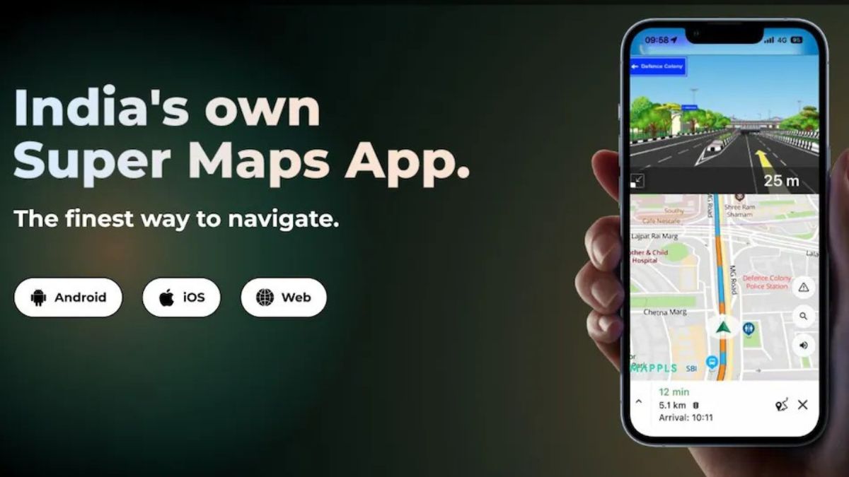
Mappls, an Indian app like Google Maps, just got a big update.
Now, you can see bus, metro, and train routes right inside the app.
This makes it easier to plan your trips, especially in big cities where you might need to use different types of transport.
The feature is available in cities like Delhi, Mumbai, and Bengaluru.
The app is trying to help more people use public transport, which can reduce traffic and pollution.
Mappls is already used by millions of people in India and is working to add more cities and improve its services.

Mappls has added public transport route tracking for buses, metros, and trains.
The feature is available in major Indian cities like Delhi, Mumbai, and Bengaluru.
Users can see nearby bus stops, metro stations, and train routes on the same map.
The app aims to make public transport easier to use, encouraging its adoption over private vehicles.
Mappls is available on iOS and web, with the Android version expected soon.
- Who
- Mappls, an Indian navigation app
- What
- Added public transport route tracking feature
- When
- Recently updated
- Where
- Available in major Indian cities
- Why
- To make daily commutes easier and encourage public transport usage
- App Name
- Mappls
- New Feature
- Public transport route tracking
- Available Cities
- Delhi, Mumbai, Bengaluru, Chennai, Hyderabad, Pune, Kolkata, Ahmedabad, Jaipur, and others
- Platforms
- iOS, web, Android (coming soon)
- Primary User Base
- Commuters using public transport
- Company Goal
- Encourage public transport usage to reduce traffic and pollution