Archive · 19 Jan 2026
Bengal Maps Disputed Border Land
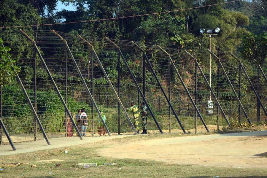
The West Bengal government is making maps of some land near the border with Bangladesh.
This land is disputed, and the maps should help solve the problem.
The area is about 35 kilometers from Jalpaiguri town.
Bangladesh was asked to provide maps, but they didn't respond.
So, the West Bengal government is making their own maps.
Some villages in this area were transferred to India in 2015, but there are still problems because the land documents are not clear.
People living there can't get official papers for their land, which means they can't sell or buy land legally, and they can't get help from the government.
They also can't build roads or fences along the border.
The people are happy that the government is trying to fix this problem.

West Bengal government is mapping disputed land near the India-Bangladesh border in South Berubari, Jalpaiguri.
Bangladesh did not provide mouza maps, so the state government's land survey department is creating them.
The dispute affects villages like Kajaldighi, Barashashin, Chilahati, Naotari Debottar, and Paranigram, which were transferred to India in 2015.
Residents lack clear land documents, preventing them from accessing government welfare schemes and legally buying or selling land.
The dispute has stalled infrastructure development, including border fencing and road construction along a 17km stretch.
- Who
- West Bengal government and residents of South Berubari villages
- What
- Mapping of disputed land near India-Bangladesh border
- When
- Mapping began on Saturday (specific date not mentioned)
- Where
- South Berubari, Jalpaiguri district, West Bengal, India
- Why
- To resolve long-pending land dispute and provide clarity to residents
- Location
- South Berubari, Jalpaiguri, India
- Distance from Jalpaiguri town
- 35km
- Disputed area length
- 17km
- Unfenced border length
- 6km
- Key villages affected
- Kajaldighi, Barashashin, Chilahati, Naotari Debottar, Paranigram, Childanga, Foudar Para, Bangram, Daker Kamat
- Responsible government department
- Land survey department of West Bengal
- Border police station
- Boda police station, Bangladesh
- Indian police station
- Berubari mouza