

1 year ago
Mapping India: William Lambton and the Great Survey
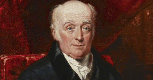
In 1802, William Lambton started a big mapping project in India called the Great Trigonometrical Survey.
He began by measuring a long line near Madras, using a special steel chain to make sure it was exactly the right length.
This line, the Madras Baseline, helped him measure other places.
Lambton checked his measurements carefully, even comparing two chains to be sure they were accurate.
He then used a special tool called a theodolite to measure angles from different high points like St Thomas Mount, to create triangles.
This helped him figure out the exact locations of different places, like Bangalore.
The process was very precise, making sure everything was measured correctly.

William Lambton began the Great Trigonometrical Survey (GTS) in 1802 near Madras, India.
Lambton used a steel chain to measure the Madras Baseline, which was 12.2 kilometers long.
The baseline was set up at the Madras Racecourse and extended south to Sholinganallur.
The team meticulously measured elevation and compared two steel chains for accuracy.
Triangulation began after the arrival of the theodolite from England in September.
- Who
- Major William Lambton led the survey team.
- What
- William Lambton began the Great Trigonometrical Survey to map India.
- Where
- The survey started near Madras, India.
- When
- The survey began in 1802.
- Why
- To create a mathematical and geographical survey of India.
Key facts
- Survey Name
- Great Trigonometrical Survey (GTS)
- Start Year
- 1802
- Location
- Madras, India
- Baseline Location
- Madras Racecourse
- Baseline Length
- 12.2 kilometers
- Instrument Used
- Theodolite

