

Archive · 27 May 2025
Chandigarh to Digitize Urban Land Records in Pilot Project
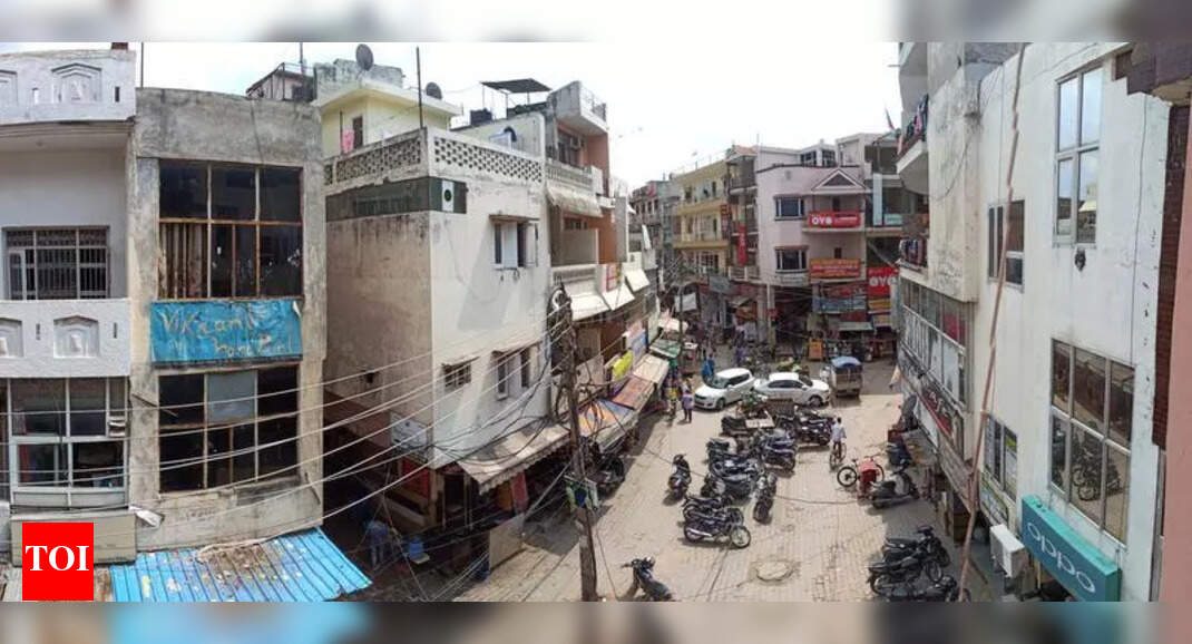
Imagine a project called 'Naksha' that aims to modernize how land records are kept in cities.
The government wants to switch from old paper records to digital ones to make things easier and more efficient.
This means creating digital maps and records of who owns which piece of land.
The project will help make sure everyone knows who owns what land and hopefully make it harder to get into arguments over who owns what land.
It also helps with planning for building roads, houses, and other things in cities.
By making the information open and accurate, it hopes to make it easier to buy and sell land, and make the city run better overall.

Chandigarh is participating in the pilot phase of the 'Naksha' project.
The project aims to digitize and modernize urban land records.
The coverage area in Chandigarh includes five villages and sectors 2 to 17 (excluding Sector 13).
The project is expected to create accurate digital land records and reduce land disputes.
The initiative is part of the Digital India Land Records Modernization Programme (DILRMP).
- Who
- Chandigarh, along with 152 other ULBs, is participating in the pilot phase.
- What
- The digitization of urban land records through the 'Naksha' project.
- When
- The pilot phase is currently underway.
- Where
- Chandigarh, covering five villages and sectors 2 to 17 (excluding Sector 13).
- Why
- To modernize urban land records, promote transparency, and enhance administrative efficiency.
- Project Name
- Naksha
- Location
- Chandigarh
- Coverage Area
- 30.61 square kilometers
- Population
- 1.48 lakh
- Nodal Officer
- Deputy Commissioner, Chandigarh
- Implementing Body
- Department of Land Resources (DoLR), Ministry of Rural Development