

Archive · 20 Sep 2026
Decolonising World Maps: Debate Over Mercator, Equal Earth, and Education
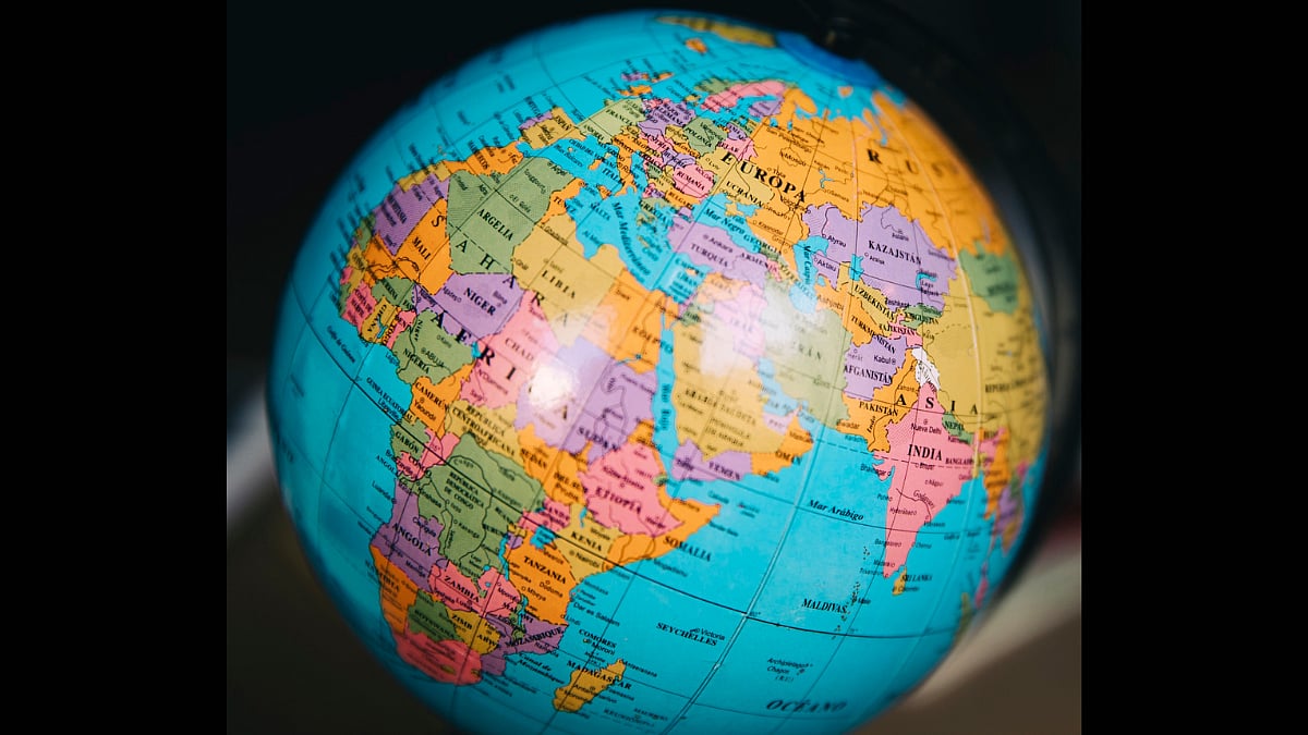
A map is a picture of Earth, but every flat map changes something.
The Mercator map is useful for navigation because it keeps directions and angles steady.
However, it makes places near the North and South Poles look much bigger than they really are.
This can make Europe and North America seem more important while making Africa and other regions seem smaller.
Some participants want schools to use maps such as Equal Earth to show land sizes more fairly.
Others say Mercator should still be taught because it has important historical and practical uses.
The speakers also believe students should learn that maps are designed representations, not perfect copies of the world.
They disagree about how much changing maps would alter views of history and power.
Everyone treats better geography education as more important than simply replacing one map with another.

The Mercator projection preserves angles for navigation but greatly enlarges areas near the poles.
Critics say its visual distortions can reinforce perceptions of European and North American importance.
Equal Earth and other equal-area projections show relative land size more accurately for education.
Contributors argue Indian schools provide inadequate instruction about map projections and their distortions.
Participants broadly support teaching multiple projections while acknowledging that changing maps cannot end global inequality.
- Who
- Geography professor Aparna Phadke, students Gaurav Nandagawli and Srijani Chaudhuri, and advertising professional Zayn Fernandes discuss the issue, moderated by Satya Tirtharaj Ghosal.
- What
- A debate over whether schools and digital platforms should use alternatives to the Mercator projection to present geographic size more accurately.
- When
- The discussion references the Mercator projection's development in the 16th century, Mackinder's 1904 Heartland thesis, and current education and digital-map practices.
- Where
- The debate focuses on world maps, Indian schools, and digital mapping services such as Google Maps.
- Why
- The issue arises because Mercator distorts the apparent size of landmasses, while speakers also recognize its continuing usefulness for navigation.
Use Fairer Maps in Education
Retain Mercator for Specific Uses
Classroom projection
Use Fairer Maps in Education
Schools should introduce Equal Earth or other equal-area projections so students understand relative land size more accurately.
Retain Mercator for Specific Uses
Mercator remains historically important and should continue to be taught rather than simply removed.
Impact on perceptions
Use Fairer Maps in Education
Repeatedly enlarging some regions and shrinking others can reinforce unconscious ideas about importance, influence, and cultural relevance.
Retain Mercator for Specific Uses
Projection changes improve visual accuracy, but the distortion is not the root cause of global power perceptions and cannot by itself change history or inequality.
Practical use
Use Fairer Maps in Education
Navigation and education should use different tools, with equal-area maps better suited to comparing geographic scale.
Retain Mercator for Specific Uses
Mercator's preservation of angles and directions makes it useful for navigation, even if it is unsuitable for showing relative size.
- Mercator projection
- A 16th-century projection that preserves angles and shapes for navigation but severely distorts polar landmasses.
- Equal Earth
- An equal-area projection presented as a fairer way to teach relative land size.
- Historical geography
- The discussion links Mercator-based representations to Mackinder's 1904 Heartland thesis and later geopolitical debates.
- Indian schools
- Participants describe map-projection training as weak, with geography teaching and textbook quality varying across boards.
- Digital maps
- Google Maps is described as using a Mercator-style view with similar size distortion.
- Central debate
- Speakers generally favor multiple projections for education but differ on how much changing maps would affect perceptions of power.