Archive · 31 Jul 2026
U.S. Map Error at AIDS 2026 Conference Sparks AI and Staffing Debate
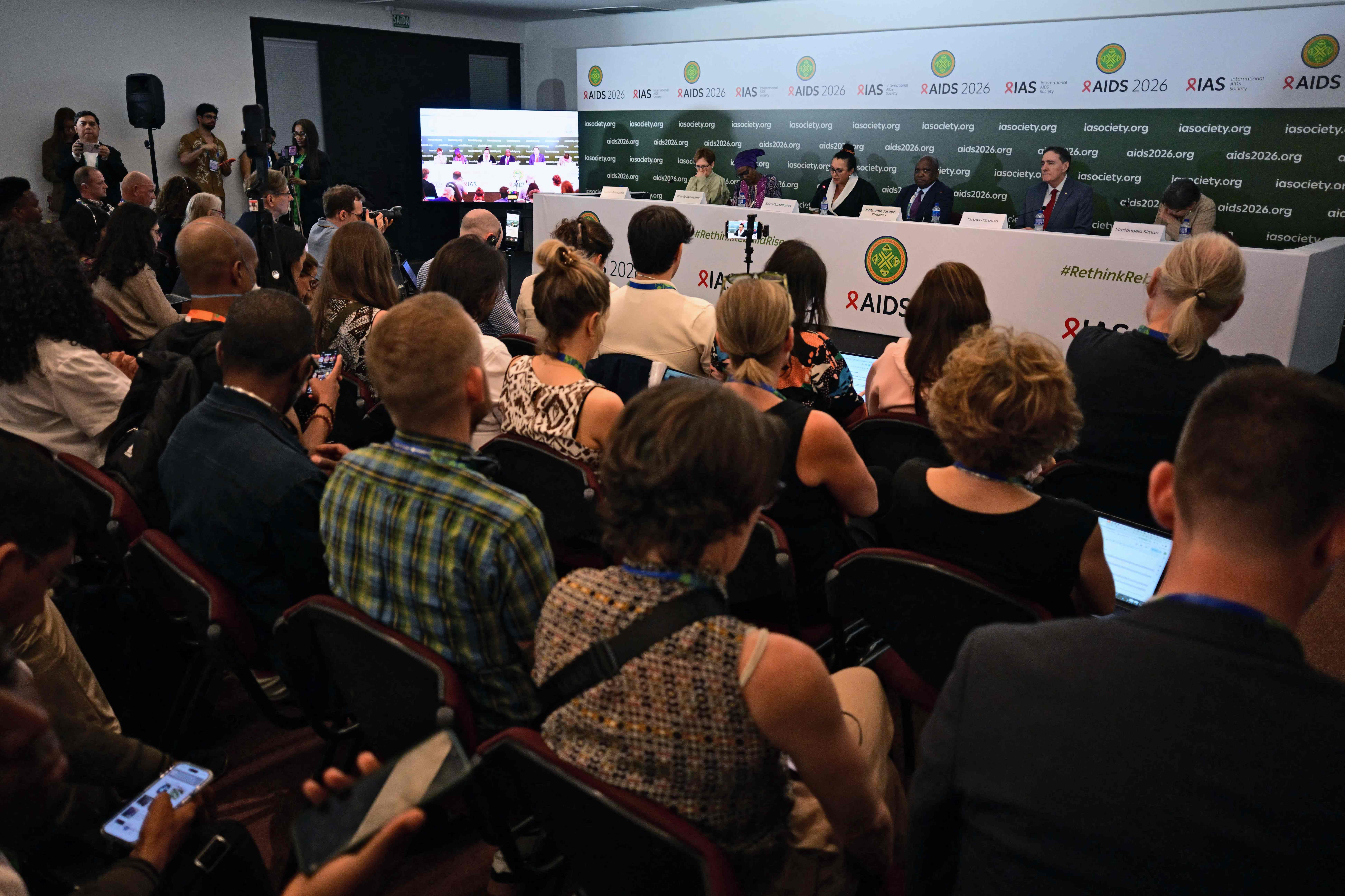
At a big AIDS meeting in Rio, a U.S. map of Africa was shown that had all the countries in the wrong places.
The map was made with artificial intelligence and was changed quickly before the talk.
People on the internet saw the mistakes and shared pictures.
The U.S. government said sorry and said it would check AI work more carefully.
The mistake also made people talk about cutting staff and using AI in government talks.

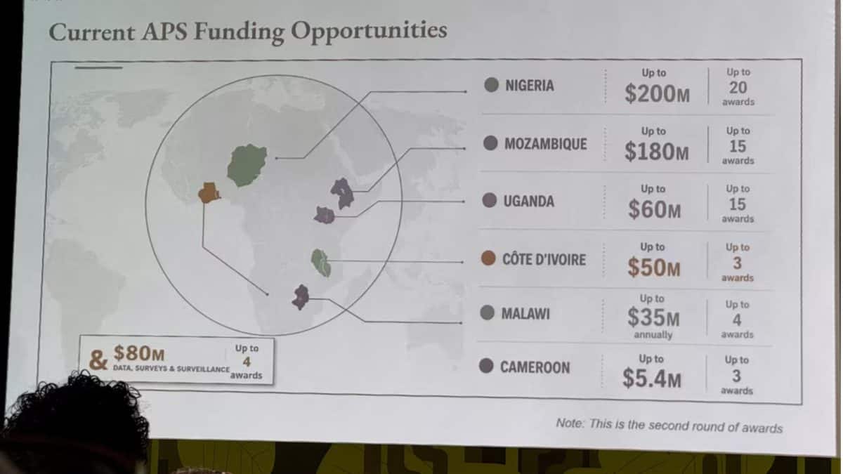
U.S. State Department map of Africa mislabelled every country during the AIDS 2026 conference in Rio de Janeiro.
The map showed Nigeria in the Sahara, Mozambique in the Horn of Africa, Côte d’Ivoire off coast, and omitted Cameroon, with other borders wrong.
The slide was AI‑generated, had an OpenAI watermark, and was hastily altered by a team member before the presentation.
The State Department apologized, taking full responsibility, and highlighted the need for human review of AI tools.
The incident reignited criticism of staffing cuts and raised concerns about using generative AI in official diplomatic communications.
- Who
- U.S. State Department, Jeff Graham, conference attendees
- What
- AI‑generated map mislabelled every African country
- When
- During the AIDS 2026 Conference in Rio de Janeiro
- Where
- Rio de Janeiro, Brazil
- Why
- Last‑minute slide change and lack of human review of AI content
- Event
- AIDS 2026 Conference
- Location
- Rio de Janeiro, Brazil
- Map error
- All African countries mislabelled
- Cause
- AI-generated slide, last‑minute change
- Apology
- State Department issued apology