Archive · 19 Sep 2025
BMC Addresses Gaothan and Koliwada Boundary Concerns in Mumbai
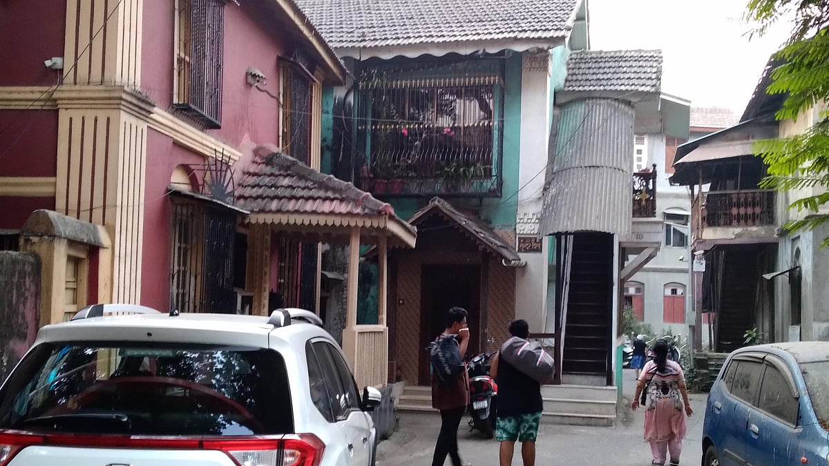
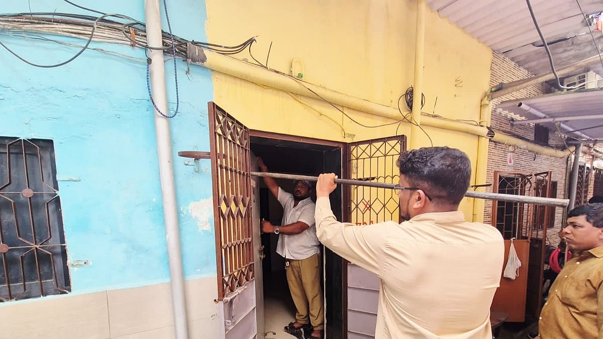
The city government is talking about where the old villages (gaothans), fishing villages (koliwadas), and tribal areas are located in the city's plans.
Some people are worried because not all these areas are marked on the map.
The government says it will mark the boundaries once the official records from the revenue department are final.
Residents want these areas marked so they are not seen as slums.
The BMC says they have already shown some boundaries.
A group of people is asking for all of the areas to be clearly marked to protect the original residents.

BMC addresses concerns about unmarked boundaries of gaothans, koliwadas, and adivasi padas in Mumbai's Development Plan.
The BMC stated that boundary marking will follow finalized revenue department records.
Citizen groups raised concerns as only 52 of 189 gaothans are marked on the Development Plan.
Residents are concerned about being wrongly included in slum rehabilitation projects.
The United Christian Front appealed to a district minister to protect the interests of the original inhabitants.
- Who
- Brihanmumbai Municipal Corporation (BMC)
- What
- Clarifying boundaries of gaothans, koliwadas, and adivasi padas in the Development Plan 2034
- When
- Ongoing, with actions based on finalized revenue records.
- Where
- Mumbai
- Why
- To address concerns and ensure these areas are not incorrectly labeled as slums.
- Subject
- Marking boundaries on Mumbai's Development Plan
- Involved Parties
- BMC, Residents' Groups, Revenue Department
- Development Plan
- Greater Mumbai Area 2034
- Gaothans Marked on DP
- 52 (as of current marking)
- Action Requested
- Mark remaining gaothans, koliwadas, and adivasi padas