Archive · 22 Jan 2026
Arctic Blast Brings Dangerous Wind Chills

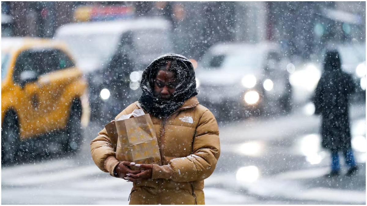
A very cold Arctic air front is coming to the United States.
It will bring very low temperatures and strong winds, making it feel even colder.
Some places might see temperatures as low as minus 50 degrees.
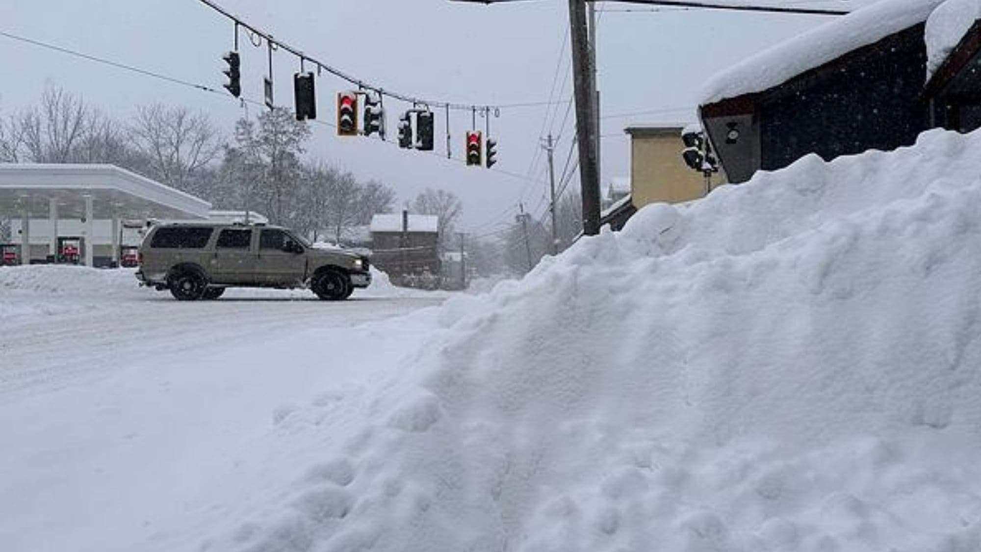
There will also be a lot of snow, especially near the Great Lakes.
The snow could be as deep as two feet in some areas.
The cold and snow will make travel difficult and dangerous.
People in the affected areas are being warned to prepare for power outages and extreme weather conditions.
The storm is expected to start on Thursday and last through the weekend, possibly extending into early next week.
It will affect large parts of the country, including the Northeast, Mid-Atlantic, and even parts of the Southeast.

A dangerously cold Arctic air front is expected to bring sub-zero temperatures and strong winds to the Northern Plains, spreading to the Mid-Mississippi Valley, Ohio Valley, and Northeast by Sunday.
Wind chills could plunge to as low as minus 50 degrees in some locations, posing serious risks of frostbite and hypothermia.
Winter storm warnings have been issued for areas downwind of Lakes Michigan and Ontario, with snow totals of 6 to 12 inches anticipated, and up to two feet in some regions.
Bitterly cold air will spread across much of the eastern two-thirds of the nation, with extreme cold warnings and advisories already in effect for portions of the Northern Plains and Upper Midwest.
The storm is expected to reach the Tennessee Valley and parts of the Southeast by next Saturday, with impacts spreading into the Mid-Atlantic and parts of the Northeast over the weekend and possibly into Monday.
- Who
- National Weather Service (NWS), residents of affected regions
- What
- Dangerously cold Arctic air front bringing sub-zero temperatures and heavy snowfall
- When
- Beginning Thursday, continuing through the weekend and possibly into early next week
- Where
- Northern Plains, Mid-Mississippi Valley, Ohio Valley, Northeast, Great Lakes region, Tennessee Valley, Southeast, Mid-Atlantic
- Why
- Arctic air front pushing south and east, interacting with a stalled frontal boundary
Preparatory Measures
Underestimation of Impact
Severity of the Storm
Preparatory Measures
Authorities and residents are taking extensive preparatory measures to mitigate the impact of the storm, including issuing warnings and advisories.
Underestimation of Impact
Some forecasters and residents may be underestimating the severity of the storm, potentially leading to inadequate preparation.
- Temperature Range
- Near or below zero degrees Fahrenheit
- Wind Chill
- As low as minus 50 degrees in some locations
- Snowfall
- 6 to 12 inches in many locations, up to 2 feet in some areas
- Affected Regions
- Northern Plains, Mid-Mississippi Valley, Ohio Valley, Northeast, Great Lakes region, Tennessee Valley, Southeast, Mid-Atlantic
- Warnings Issued
- Winter storm warnings, extreme cold warnings, watches, and cold weather advisories
- Timing of the Storm
- Beginning Thursday, continuing through the weekend and possibly into early next week
Sources
US winter alert: Arctic blast accompanied by gusty winds to bring dangerous wind chills—check weather forecast

Huge Winter Storm to Dump Snow, Ice From Texas to New York
Cold winter storm ‘Fern’ set to take over United States: All you need to know

‘Exploding trees’ risk for Michigan, Minnesota as temperatures plummet—Can trees explode due to extreme cold?
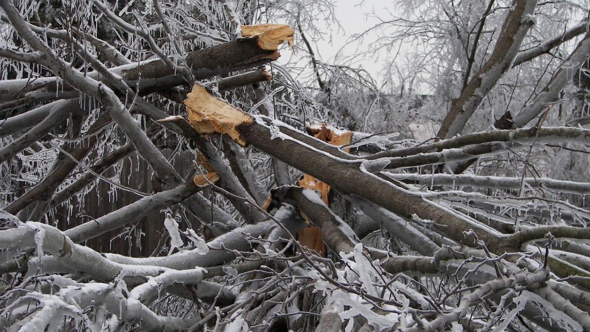
Is extreme cold causing trees to explode in the US?

US weather alert: Extreme cold warning issued for these regions; schools delayed in Pittsburgh