

Archive · 19 Dec 2025
Scientists Map Ancient Mars River Basins
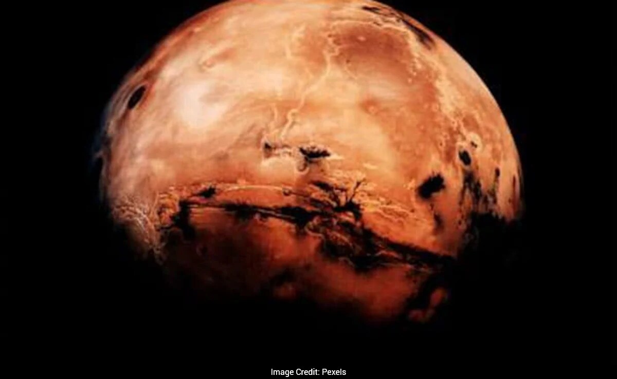
Scientists have made a detailed map of huge, old river systems on Mars.
These rivers were active billions of years ago when Mars had lots of water.
The map shows 16 large river basins, which covered about 5% of Mars' surface.
These basins could be important for finding signs of past life because they carried water, nutrients, and sediment over long distances.
The map will help future missions choose the best places to look for evidence of life.
The study was published in a science journal on November 24.

Scientists created the first detailed map of ancient river drainage systems on Mars.
The map reveals 16 large river basins covering about 1.5 million square miles, 5% of Mars' ancient surface.
These basins carried significant amounts of water, nutrients, and sediment, potentially preserving signs of life.
The study used data from NASA's Mars Odyssey spacecraft and ancient maps of valleys and lake beds.
The map will guide future missions in the search for chemical signatures of past life on Mars.
- Who
- Scientists led by Timothy Goudz and Abdallah Zaki
- What
- Mapped ancient river drainage systems on Mars
- When
- Published on November 24
- Where
- Mars
- Why
- To understand past water flow and potential signs of life
- Study Focus
- Ancient river drainage systems on Mars
- Data Source
- NASA's Mars Odyssey spacecraft
- Number of Large Basins
- 16
- Total Area Covered
- 1.5 million square miles
- Percentage of Ancient Surface
- 5%
- Key Basin
- Maadim Vallis
- Publication Date
- November 24
- Journal
- Proceedings of the National Academy of Sciences