

Archive · 26 Sep 2025
NGRI Open Day Showcases Groundwater Mapping Technology
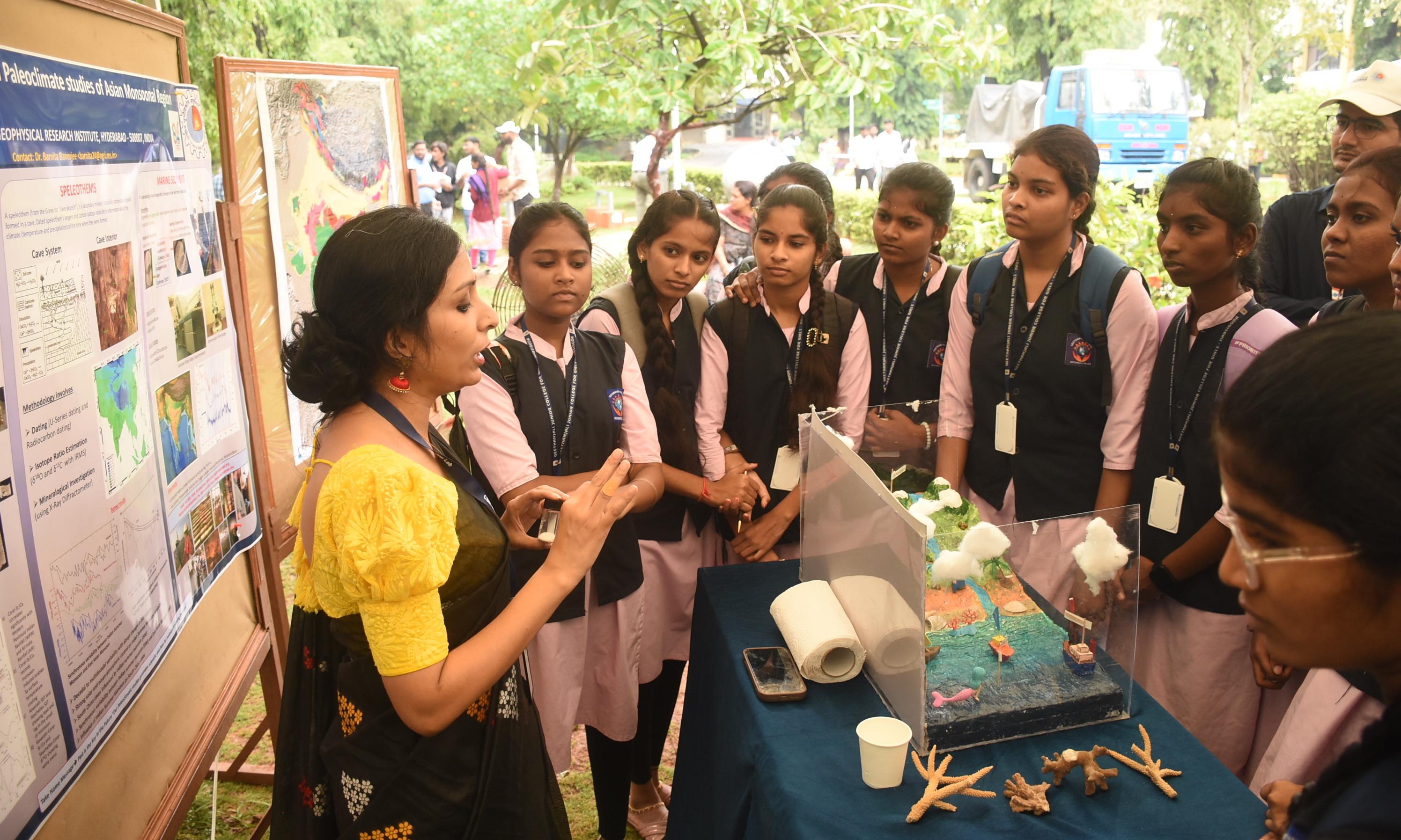
Scientists at NGRI are using a special technology to find water underground.
This technology, called Airborne Electromagnetic (AEM), uses a helicopter to send electrical pulses into the ground.
By seeing how the electricity changes, scientists can find where water is located, even deep down.
This helps them create maps to find water in areas with hard rock, like Telangana, which is useful because traditional methods are failing.
The technology is also being used to assist in construction projects.
It can help identify suitable areas for planting specific crops and determine how much rainfall recharges the water sources.
With AI, the data collected can become practical advice.

NGRI held an open day to showcase Airborne Electromagnetic (AEM) technology.
AEM uses helicopters to map groundwater by sending electrical pulses into the ground.
The technology provides detailed groundwater information, even in hard rock terrains.
Pilot projects have been conducted in multiple Indian states since 2012.
AI and machine learning are being incorporated to provide practical advice from collected data.
- Who
- Scientists and students
- What
- NGRI open day demonstrating AEM technology for groundwater mapping
- When
- Friday
- Where
- Hyderabad (NGRI)
- Why
- To showcase groundwater mapping technology and its potential to help water availability
- Institute
- National Geophysical Research Institute (NGRI)
- Technology
- Airborne Electromagnetic (AEM)
- Function of AEM
- Maps groundwater, soil porosity, aquifer recharge
- Coverage Rate
- 100 sq. km in 2 hours
- Depth of Detection
- Up to 500 meters
- Pilot Project Locations
- Rajasthan, Bihar, Nagpur, Karnataka, coastal Andhra