Archive · 28 Nov 2025
India Updates Seismic Map, Himalayas in Highest Risk Zone

India has updated its earthquake risk map, showing that 61% of the country now has moderate to high seismic risk.
The new map puts the entire Himalayan region in the highest-risk zone, called Zone VI.
This change is important because it will help builders and city planners make safer buildings and infrastructure.
The map uses better science to predict where earthquakes might happen and how strong they could be.
It also includes new rules to make sure important buildings like hospitals and schools stay safe and usable after an earthquake.
The southern part of India didn't see many changes because it's less likely to have big earthquakes.
This update will help keep people safer during earthquakes.
The Himalayas are at high risk because of the constant push of the Indian Plate into the Eurasian Plate, which builds up stress that can cause powerful earthquakes.
The new map also considers how earthquakes can spread to nearby areas, ensuring that more places are prepared.

India's new seismic map classifies 61% of the country as having moderate to high seismic risk, up from 59%.
The entire Himalayan arc is now in the highest-risk Zone VI for the first time.
The updated map uses probabilistic seismic hazard assessment (PSHA) techniques for more accurate risk prediction.
New safety requirements include anchoring heavy non-structural components in buildings to prevent injuries during earthquakes.
Critical infrastructure like hospitals and schools must now be designed to remain operational after major earthquakes.
- Who
- India's Bureau of Indian Standards (BIS)
- What
- Revised seismic zonation map and Earthquake Design Code
- When
- The update is part of the new Earthquake Design Code, with the 2025 map replacing the 2016 version
- Where
- India, with significant changes in the Himalayan region and minor refinements in the southern peninsula
- Why
- To provide a clearer picture of earthquake hazards and ensure construction reflects current hazard levels, improving safety and resilience
- Percentage of India with moderate to high seismic risk
- 61%
- New highest-risk zone
- Zone VI (Himalayan arc)
- Previous percentage of land in moderate to high hazard zones
- 59%
- Current percentage of land in moderate to high hazard zones
- 61%
- New safety requirements for non-structural components
- All heavy non-structural components exceeding 1% of a building's total weight must be properly anchored and braced
- Critical infrastructure to remain operational after a major earthquake
- Hospitals, schools, pipelines, bridges, and key public buildings
- Tectonic plates involved in the Himalayan region
- Indian Plate and Eurasian Plate
- Rate of Indian Plate movement
- 5 cm per year
Sources
What does India's new seismic map say about earthquakes risk in your city?
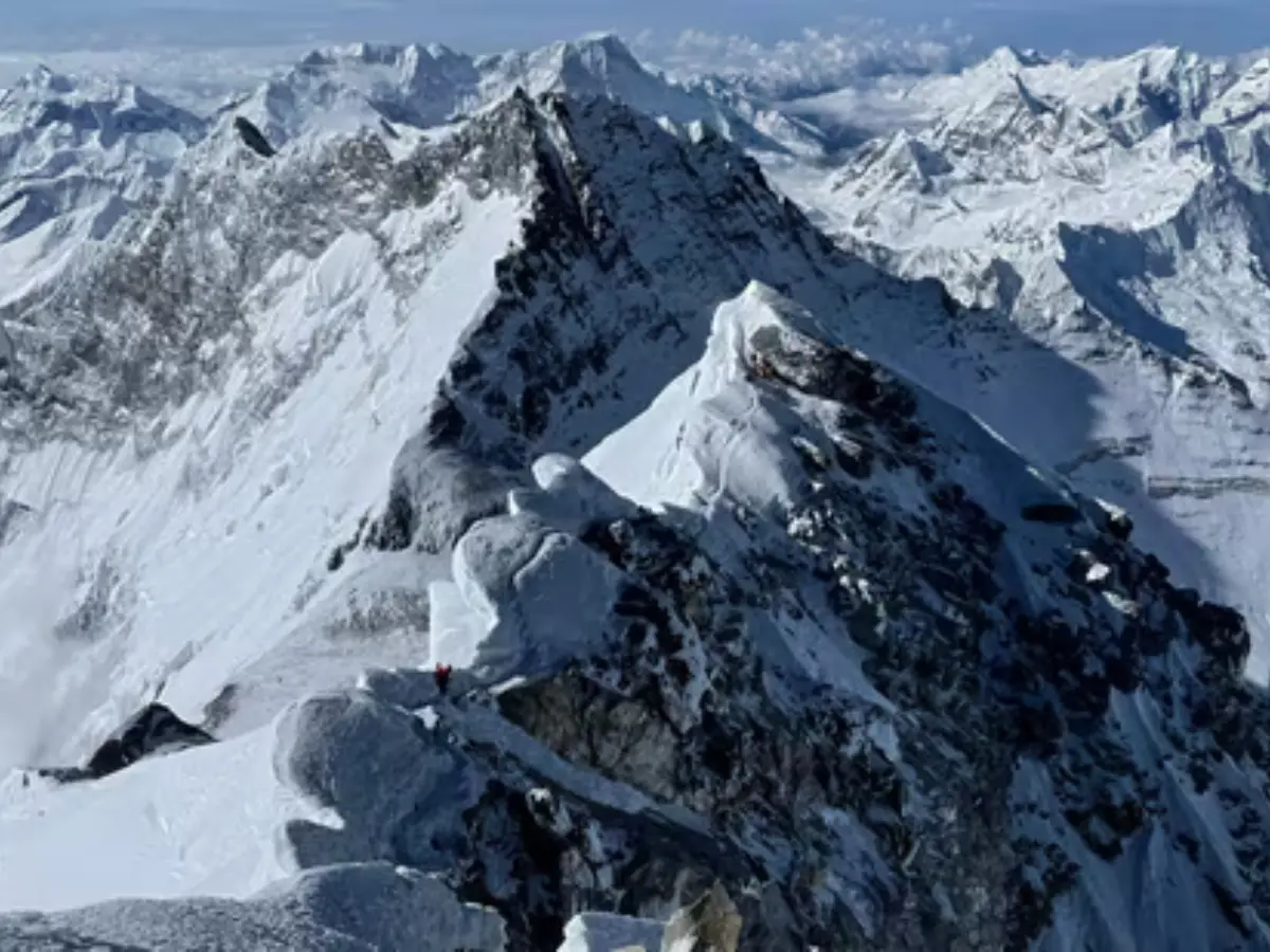
New seismic map shifts Himalayan region into high-risk earthquake zone

The Himalayas are in a high-risk danger zone, India launches new quake map