1 month ago
Google Earth Adds AI Image Generation with Nano Banana 2
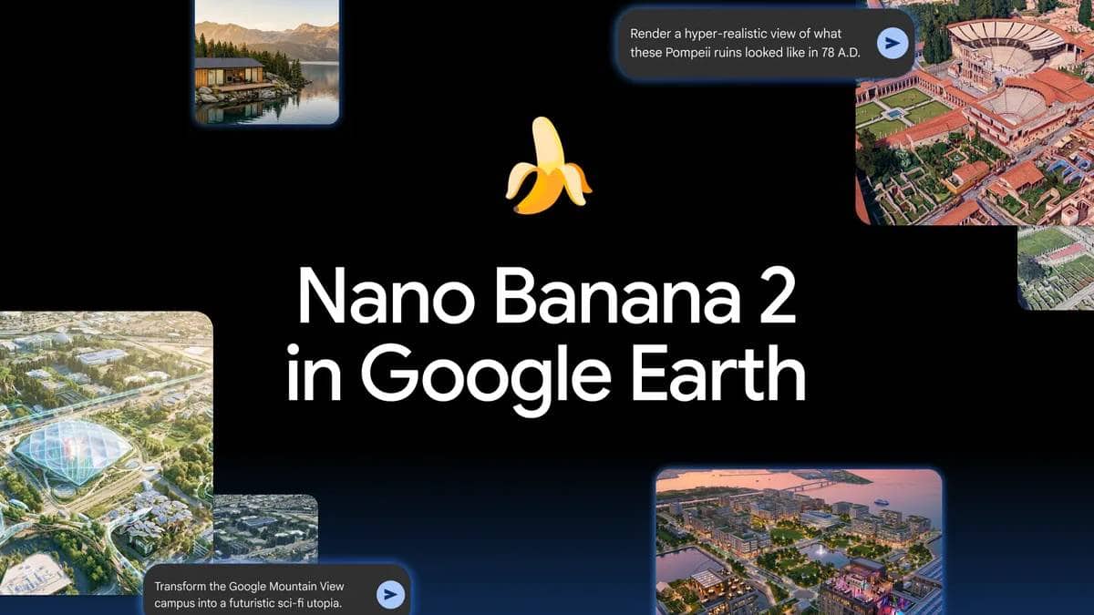
Google has added a new tool to its Earth app that lets people make pictures of places using artificial intelligence.
You can zoom in on any spot, click a button, and type what you want to see.
The AI can show how a site looked in the past, like ancient Pompeii, or how it might look in the future, like a new building.
Teachers can use it to teach history, and architects can show clients what a new project will look like.
It’s a way to turn maps into creative, realistic images.

Google integrates Nano Banana 2 AI image generation into Google Earth.
Users can create custom images from satellite, aerial, and 3D views.
Feature enables historical visualizations, such as Pompeii in 78 AD.
Architects and planners can model future developments on real locations.
The tool supports immersive trip planning and educational infographics.
- Who
- What
- Integration of Nano Banana 2 AI image generation into Google Earth
- Where
- Google Earth mapping software
- When
- Why
- To enable creative and practical uses such as historical visualizations, immersive trip planning, and real‑estate modeling
Key facts
- Technology
- Nano Banana 2 AI image generation
- Platform
- Google Earth
- Use cases
- Historical visualization, trip planning, real estate modeling, educational infographics
- Target users
- Teachers, students, architects, urban planners, travelers
- Launch status
- Announced
Quotes
Google spokesperson
Representative announcing new feature
“The next fragment of your imagination is only as far‑fetched as zooming into a place in Google Earth, tapping ‘Create Image,’ and typing whatever it is that you want to see.”
 firstpost.com
Sources
Related news
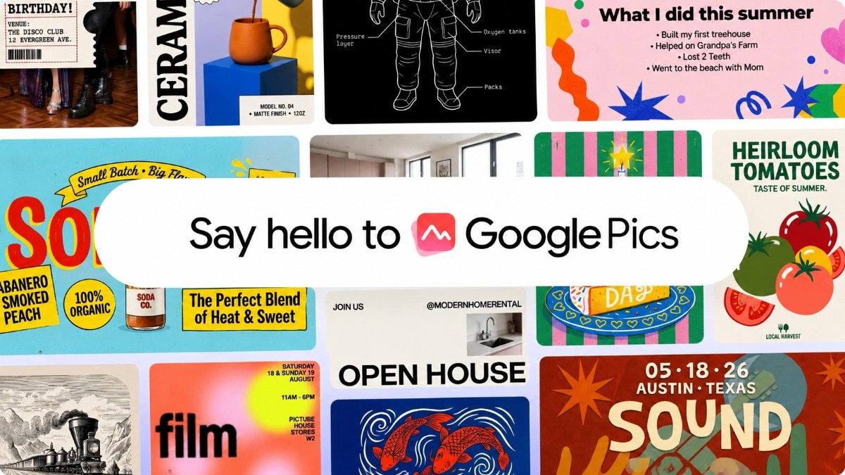
Google launches AI-powered Pics design tool for everyday creators

Google Rolls Out Pics AI Image Editor With Workspace Tools

Google Says Users Can Hide AI Watermarks; Should We Worry?

Google’s Gemini Omni 1.1 Adds New Controls for AI Video

Elon Musk's xAI Launches Imagine Image 2.0 AI Image Model

5 AI Prompts for Patriotic Independence Day Portraits
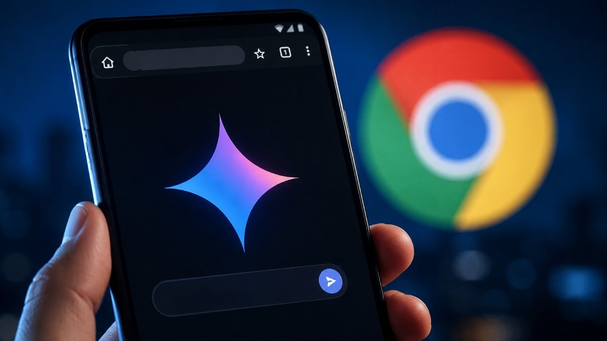
Gemini in Chrome Brings AI Browsing Tools to Android Users

AI prompts help create patriotic photos for India's Independence Day

YouTube Cracks Down on AI-Generated 'Slop' Content