Archive · 27 Sep 2025
NISAR Satellite's First Images Show Earth Details
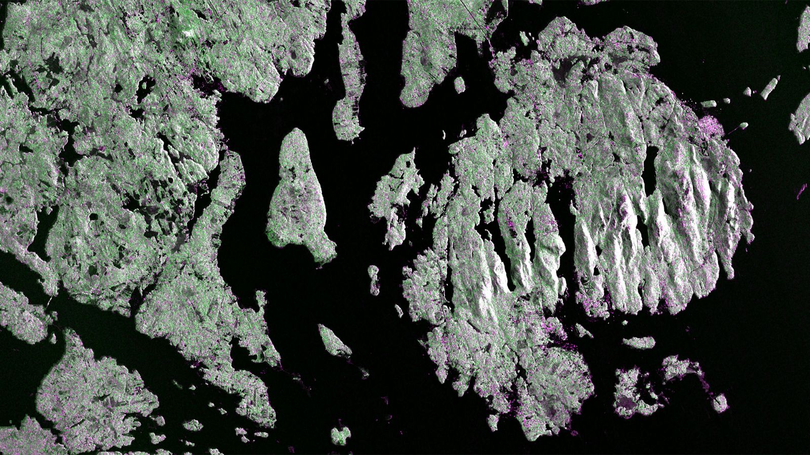
NISAR is a special camera in space built by NASA and India.
It uses radar to take detailed pictures of Earth.
The first images show forests, farms, and waterways in the US.
NISAR helps scientists study changes on Earth and monitor crops.
The satellite takes pictures every 12 days using two types of radar.
It helps us understand things like how the land moves.
This helps with understanding natural disasters.
The mission is a big collaboration between the US and India.

NISAR satellite released its first images of Earth.
The images show details of the American landscape including forests, wetlands, and farms.
The satellite was launched on July 30 from India.
NISAR uses L-band and S-band radar to observe Earth.
The mission will study Earth's land and ice surfaces and monitor ecosystems.
- Who
- NASA and ISRO
- What
- Released the first images from the NISAR satellite
- When
- Images released this week, captured August 21 and 23; Launched July 30
- Where
- Images of the American landscape including Maine and North Dakota
- Why
- To study Earth’s land and ice surfaces, monitor ecosystems, and track crop progress.
- Satellite Name
- NASA-ISRO Synthetic Aperture Radar (NISAR)
- Launch Date
- July 30
- Partner Agencies
- NASA and ISRO
- Radar Bands
- L-band and S-band
- Orbit
- 747-kilometer
- Antenna Size
- 39 feet (12 metres) wide