Archive · 5 Sep 2026
UN Backs Equal Earth Map to Show Africa’s True Scale
The United Nations voted to encourage the use of a world map called Equal Earth.
It shows the sizes of continents more accurately than the older Mercator map.
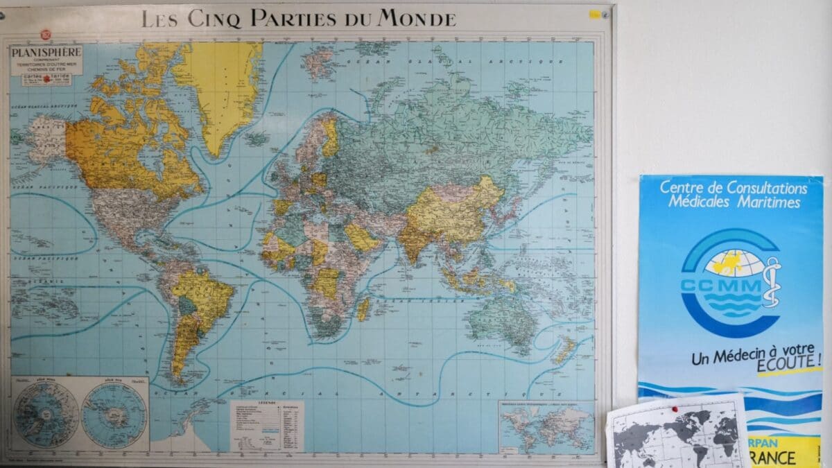
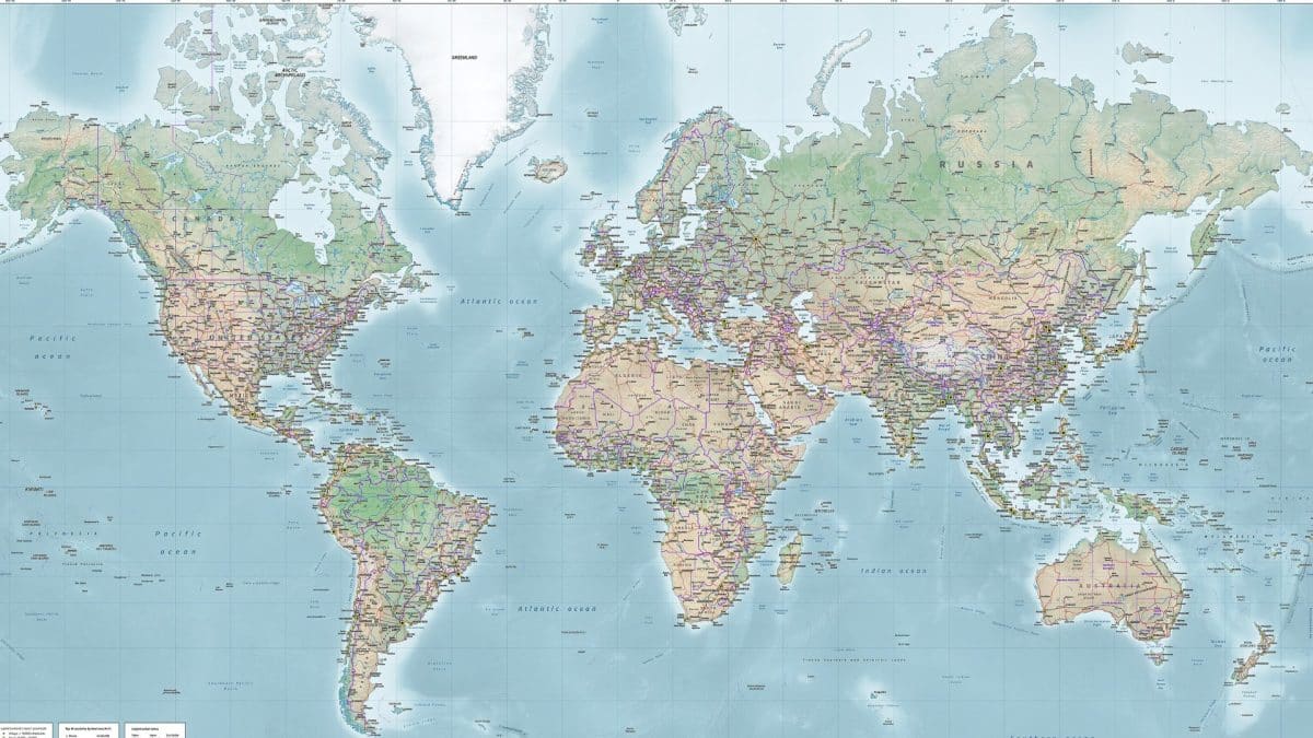
The Mercator map makes places near the North and South Poles look much bigger than they really are.
For example, Greenland can look almost as large as Africa, even though Africa is about 14 times bigger.
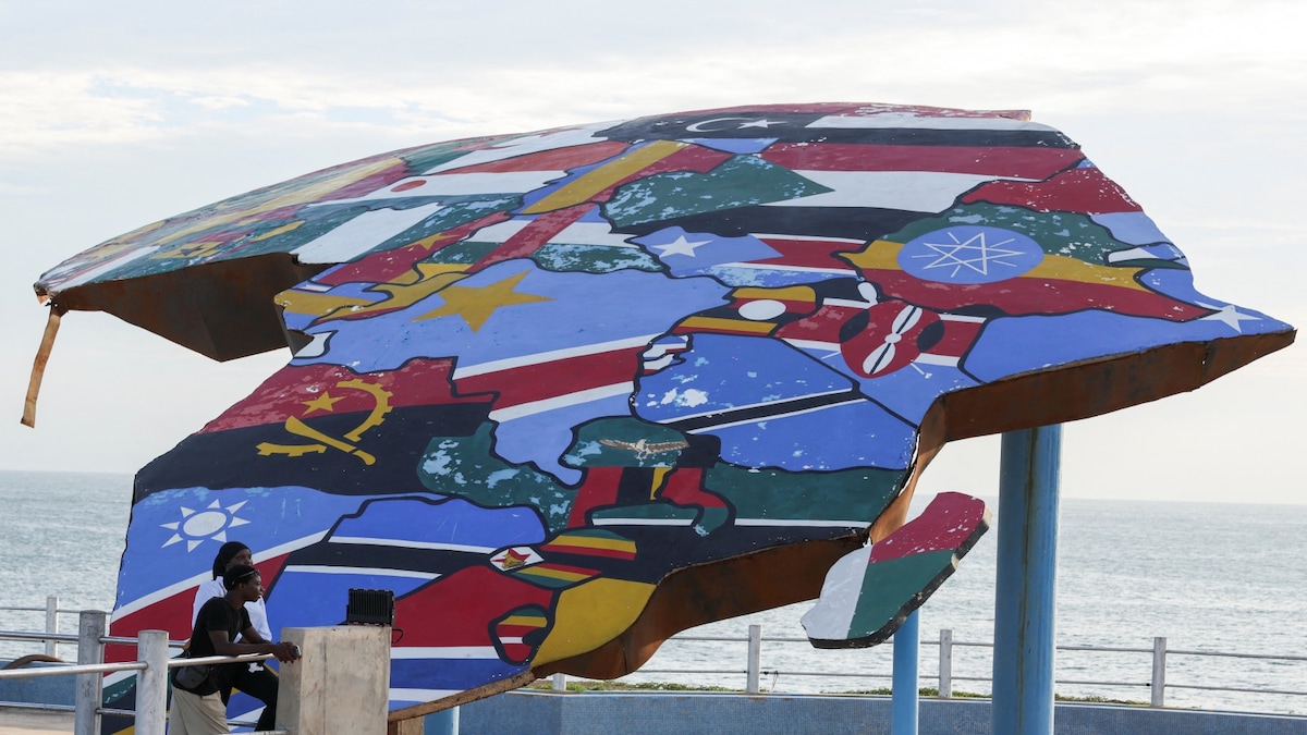
Togo and the African Union say this can make Africa and other equatorial regions seem too small.
They want schools, organizations and technology companies to consider using equal-area maps.
The vote does not force countries to stop using Mercator maps.
Mercator is still useful for navigation because it shows directions accurately.

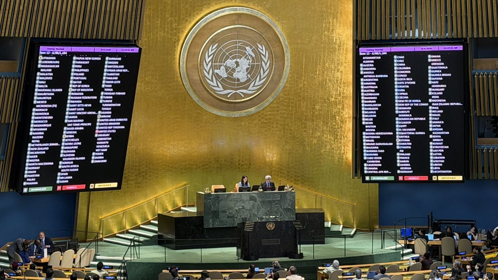
The U.N. General Assembly adopted the nonbinding “Correct the Map” resolution by 164 votes to one, with six abstentions.
The resolution promotes the 2018 Equal Earth projection, which more accurately preserves the relative sizes of continents.
The Mercator projection enlarges regions near the poles, making Greenland appear comparable in size to Africa even though Africa is about 14 times larger.
Togo, supported by the African Union and African states, led calls for schools, institutions and technology companies to consider equal-area maps.
The United States opposed the resolution as ideological and distracting, while France supported it and said it would stop using Mercator where equal-area maps are more suitable.
- Who
- The U.N. General Assembly adopted the resolution; Togo, backed by the African Union and African states, led the campaign, while the United States voted against it.
- What
- A nonbinding resolution promoting the Equal Earth and other equal-area projections as alternatives to the Mercator map.
- When
- Friday, September 4, 2026, according to the reports.
- Where
- The vote took place at U.N. headquarters in New York, with potential changes affecting schools, institutions and digital mapping services worldwide.
- Why
- Supporters say the Mercator projection distorts the relative size of landmasses and can contribute to misleading perceptions of Africa and other Global South regions.
Mercator’s Practical and Traditional Uses
Equal-Area Representation
Map purpose
Mercator’s Practical and Traditional Uses
Supporters of continued Mercator use note that it accurately represents directions and remains useful for maritime and aerial navigation.
Equal-Area Representation
Equal Earth supporters want classroom, institutional and digital maps to show continents closer to their actual relative sizes.
Meaning of distortion
Mercator’s Practical and Traditional Uses
The United States described the resolution as an ideological agenda and a distraction from major issues involving international peace, prosperity and good relations.
Equal-Area Representation
Togo and African Union supporters say distorted maps can symbolically minimize Africa and reinforce inaccurate perceptions of the Global South.
Changing existing maps
Mercator’s Practical and Traditional Uses
Because the resolution is nonbinding, countries, schools and companies are not required to replace Mercator maps.
Equal-Area Representation
Togo plans to change its own geography books and urge governments, schools, organizations and technology companies to consider Equal Earth.
- Vote result
- 164 countries supported the resolution, one opposed it and six abstained.
- Promoted projection
- The resolution promotes the 2018 Equal Earth projection, an equal-area map designed to show relative land sizes more accurately.
- Mercator origin
- Gerardus Mercator developed the projection in 1569, primarily for navigation.
- Size comparison
- Africa is about 14 times larger than Greenland.
- Legal status
- The resolution is nonbinding and does not prohibit continued use of Mercator maps.
- Navigation
- Togo’s ministry said Mercator remains suitable for maritime and aerial navigation.
- Togo’s plan
- Togo said it hopes to change its school geography materials by the end of 2026 and promote broader adoption of equal-area maps.
Sources

UN approves resolution in support of map that shows Africa's true size – ThePrint – ReutersFeed
Greenland looks huge on your map. Africa is actually 14 times bigger
UN approves resolution in support of map that shows Africa's true size

UN backs new world map that more accurately shows Africa’s true size and scale, 164 countries vote in favour
Africa Grows, Europe And US Shrinks On New World Map Adopted By UN
UN adopts new world map resolution with aim to show true scale of Africa & Global South
World map is misleading about Africa. The UN wants to fix it