Archive · 30 Jan 2026
NISAR Satellite Captures Detailed Mississippi Delta Image
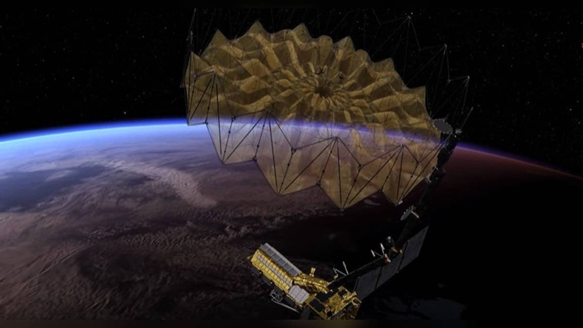
NASA and ISRO have a satellite called NISAR that takes pictures of Earth.
Unlike regular cameras, NISAR can see through clouds and show us details of the ground below.
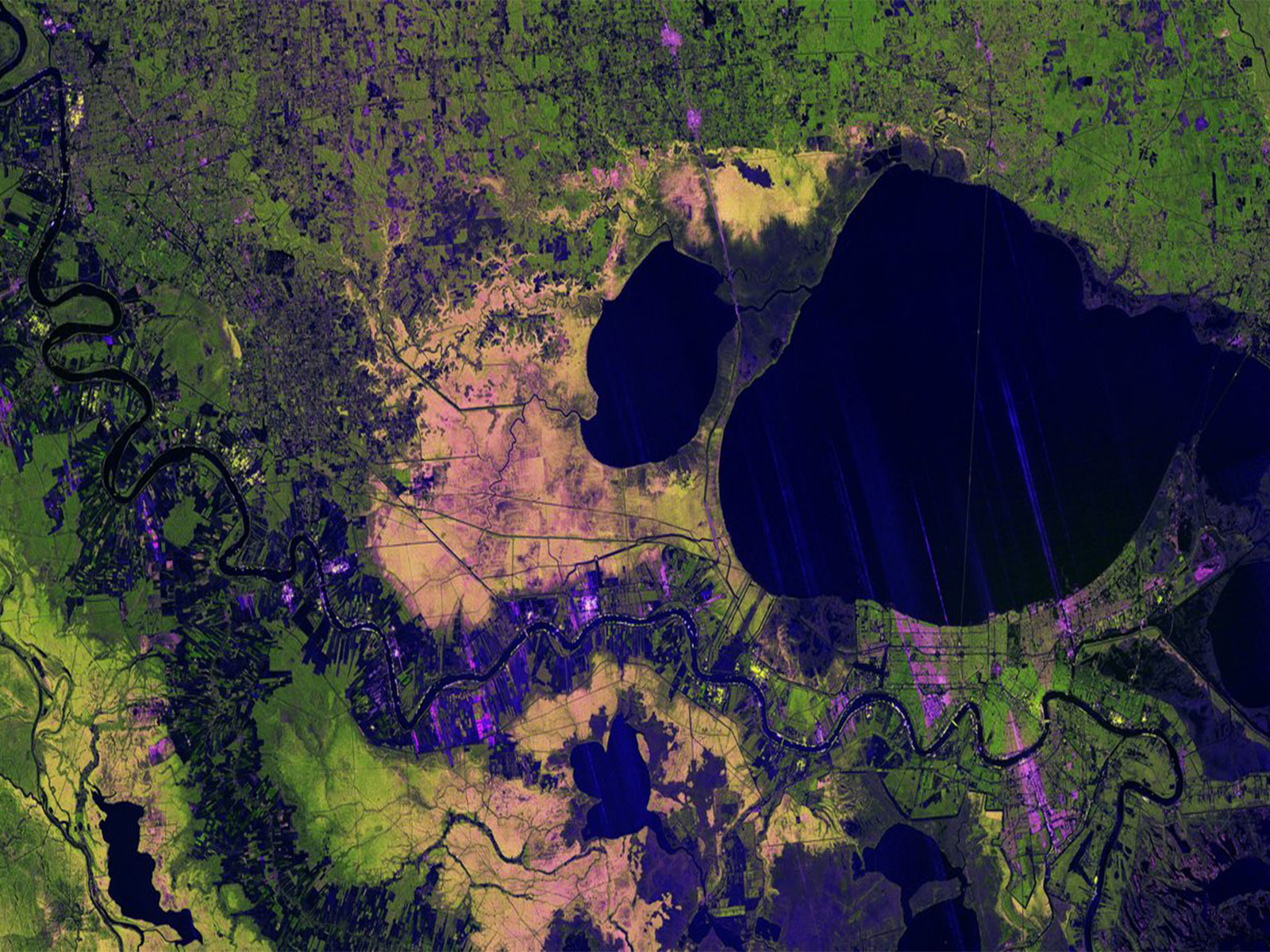
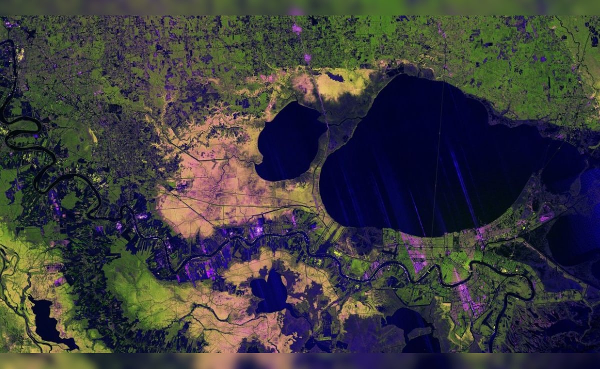
Recently, it took a colorful picture of the Mississippi River Delta area, showing cities like New Orleans, forests, farms, and even a very long bridge.
The satellite uses special radar that can tell the difference between trees, buildings, and crops.
This helps scientists study forests, wetlands, and how crops are growing.
The data from NISAR will be available for scientists to use soon, and it will help with things like disaster response and managing farms.
NISAR is the first satellite to use two different types of radar to observe Earth's surface.

NISAR satellite captured a detailed image of the Mississippi River Delta region, penetrating cloud cover to reveal terrain features.
The image showcases major landmarks including New Orleans, Baton Rouge, the Mississippi River, and Lake Pontchartrain.
NISAR's L-band radar uses 24-centimeter microwaves to pass through clouds and image the ground, distinguishing between vegetation, trees, and built environments.
Different colors in the image reflect varying land cover types, with healthy forests appearing bright green and agricultural plots showing darker or brighter shades.
Data from NISAR will be available for download in late February, supporting disaster response, infrastructure monitoring, and agricultural management.
- Who
- NASA and the Indian Space Research Organisation (ISRO)
- What
- NISAR satellite mission capturing detailed Earth surface images
- When
- Image captured on November 29, 2024; Launch on July 30, 2024
- Where
- Mississippi River Delta region in southeastern Louisiana, USA
- Why
- To provide insights into landscapes, ecosystems, disaster response, infrastructure monitoring, and agricultural management
- Mission
- NISAR (NASA-ISRO Synthetic Aperture Radar)
- Launch Date
- July 30, 2024
- Launch Location
- Satish Dhawan Space Centre, India
- Radar Wavelength
- 24 centimetres (L-band)
- Image Capture Date
- November 29, 2024
- Key Features Captured
- Mississippi River Delta, New Orleans, Baton Rouge, Lake Pontchartrain, wetlands, farmland, forests, residential areas
- Data Availability
- Late February 2025 (thousands of mission data files)
- Data Distribution Center
- Alaska Satellite Facility Distributed Active Archive Center, Fairbanks