

Archive · 6 Sep 2026
UN backs Equal Earth map, making Africa larger
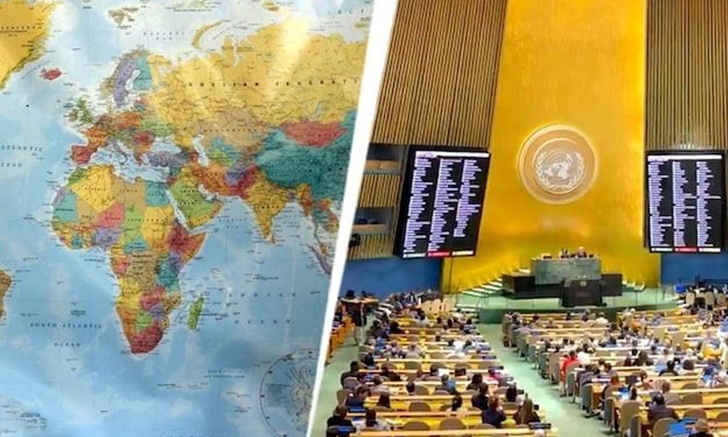
The United Nations voted to encourage people to use a different kind of world map.
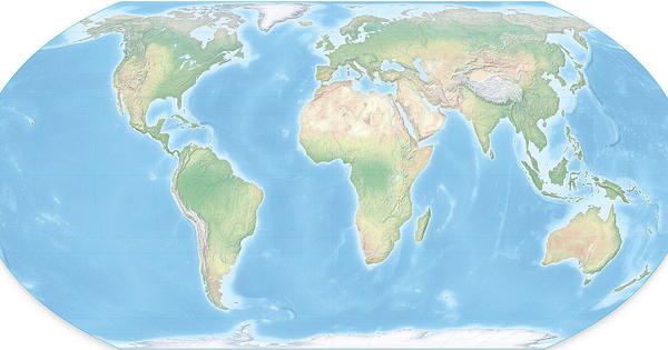
This map is called Equal Earth.
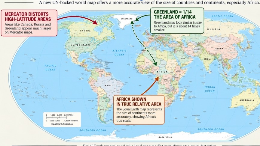
It shows Africa closer to its real size and makes Europe and North America look smaller than they do on many older maps.
The older Mercator map was designed to help sailors navigate.
It makes places near the North and South Poles look much bigger than they really are.
That is why Greenland can look almost as large as Africa, even though Africa is about 14 times bigger.
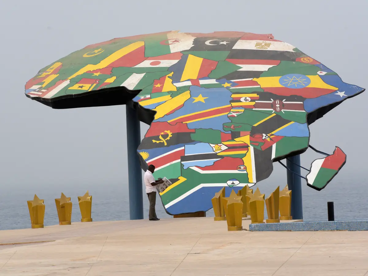
Togo and the African Union supported the change, while the United States opposed it.
The vote does not force anyone to stop using Mercator, especially for navigation.

The United Nations General Assembly backed a nonbinding resolution encouraging wider use of the Equal Earth map projection.
The Togo-led initiative, supported by the African Union, received 164 votes in favor, six abstentions, and one opposing vote from the United States.
Equal Earth shows Africa, Latin America, South Asia, and Oceania closer to their actual relative sizes, while Europe and North America appear smaller.
The 1569 Mercator projection enlarges regions near the poles, making Greenland look comparable to Africa even though Africa is about 14 times larger.
The resolution does not ban Mercator or require governments, schools, publishers, or technology companies to adopt Equal Earth.
- Who
- The United Nations General Assembly considered a Togo-led initiative backed by the African Union; 164 countries supported it, six abstained, and the United States voted against it.
- What
- It adopted a nonbinding resolution promoting Equal Earth and other equal-area projections for more accurate comparisons of land areas.
- When
- Friday, September 4; the articles do not specify the year.
- Where
- The vote took place at United Nations headquarters in New York.
- Why
- Supporters sought to reduce the size distortions and perceived symbolic minimization of Africa associated with the widespread use of the Mercator projection.
Equal Earth Supporters
United States Opposition
Purpose of the change
Equal Earth Supporters
Togo and the African Union said equal-area projections provide a more accurate and equitable visual representation and counter the symbolic minimization of Africa.
United States Opposition
The United States argued that the initiative was part of a broader ideological agenda rather than a necessary cartographic update.
Role of Mercator
Equal Earth Supporters
Supporters said Mercator was created for navigation, not for comparing continental sizes, and encouraged alternatives for education and public communication.
United States Opposition
Washington emphasized Mercator's practical historical purpose and criticized the United Nations for focusing on a map instead of what it called genuine global challenges.
Impact and implementation
Equal Earth Supporters
Togo's Foreign Minister Robert Dussey said a fair map changes how people see the world without changing geography and does not impose one projection.
United States Opposition
The United States said the debate mocked the work and purpose of the United Nations and linked it to concepts including reparations and cognitive justice.
Abstentions
Equal Earth Supporters
Supporters pointed to the resolution's broad backing, including India's support.
United States Opposition
One report said Ukraine was among the abstaining countries because of concerns about how some Equal Earth maps depict Ukrainian territories occupied by Russia.
- Resolution
- The resolution encourages governments and institutions to use Equal Earth or other equal-area projections when comparing the sizes of countries and continents.
- Vote
- The measure passed with 164 votes in favor, six abstentions, and the United States as the sole opposing vote.
- Lead sponsor
- Togo led the initiative, which was backed by the African Union and the Africa Group.
- Equal Earth
- The equal-area projection was developed by an international group of cartographers in 2018.
- Mercator projection
- Gerardus Mercator developed the projection in 1569 for maritime navigation because it preserves directions and angles.
- Size comparison
- Africa covers about 30.3 million square kilometers, compared with about 2.1 million square kilometers for Greenland.
- Practical effect
- The resolution is not legally binding, does not eliminate Mercator from navigation, and does not compel countries, schools, publishers, or technology companies to change maps.
- Existing alternatives
- The articles report that Google Maps, the World Bank, and France use or have considered alternatives to Mercator in some contexts.
Sources
UN votes to correct world map that visually shrank Africa for 450 years
Africa bigger, North America, Europe smaller
United Nations adopts new map showing Africa larger

'Europe shrinks, Africa grows': The UN vote that could change the world map you know
UN adopts Equal Earth map: All about Africa’s true size, Mercator distortions and what changes now
