

Archive · 9 Oct 2026
Uttar Pradesh Plans Statewide House Mapping and Land Geotagging
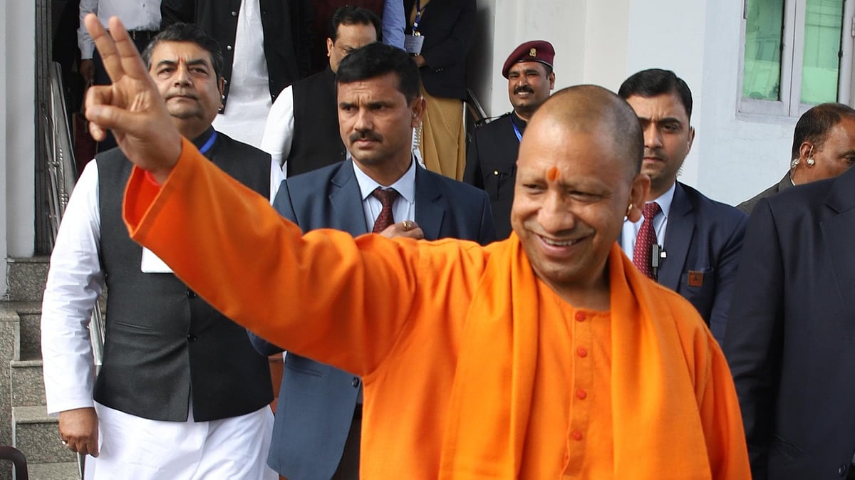
Officials in Uttar Pradesh met in Lucknow to discuss how space technology can help the state.
They want to map every house and mark the location of every piece of land.
This could help people know where their fields begin and end and help settle land disputes.
House maps could also help officials work out house taxes.
The state’s science and technology minister said these tools could help farming and prepare for floods and droughts.
He also pointed to possible uses in health, education, roads, bridges, and canals.
Experts and companies shared technology ideas at the two-day workshop.
Officials also discussed using artificial intelligence with space technology.

A two-day Space Applications Adoption Workshop concluded in Lucknow on October 9.
Chief Secretary S.P. Goyal called for geotagging all land parcels to help establish field boundaries and address land disputes.
Goyal also urged 100% mapping of houses using space applications to support house-tax assessment and increase urban development resources.
Science and Technology Minister Anil Kumar encouraged using space technology for farming, disaster preparedness, healthcare, education, and infrastructure planning.
More than 50 state departments and districts participated; 22 industry partners presented solutions, and 75 private firms took part.
- Who
- Uttar Pradesh government officials, space-technology experts, industry partners, and representatives from state departments and districts.
- What
- A workshop discussed using space applications, including complete house mapping and land-parcel geotagging, in state services and planning.
- When
- The two-day workshop concluded on October 9; the article does not specify the year.
- Where
- Roopam Auditorium, Lucknow, Uttar Pradesh.
- Why
- Officials said mapping and space applications could support land-boundary identification, dispute resolution, house-tax assessment, and planning across sectors.
Potential benefits
Challenges or concerns
Statewide land geotagging
Potential benefits
Chief Secretary S.P. Goyal said geotagging could help farmers identify field boundaries and resolve land disputes.
Challenges or concerns
The article does not report objections or specific concerns about the proposal.
House mapping for tax assessment
Potential benefits
Goyal said mapping all houses could support house-tax assessment and increase resources for the Department of Urban Development.
Challenges or concerns
The article does not report opposing views or discuss potential drawbacks.
- Event
- Space Applications Adoption Workshop
- Duration
- Two days
- Location
- Roopam Auditorium, Lucknow
- House mapping proposal
- 100% mapping of houses using space applications
- Land proposal
- Geotag all land parcels across Uttar Pradesh
- Department participation
- Experts from more than 50 state departments and districts participated
- Industry participation
- 22 industry partners presented solutions; 75 private firms participated