

Archive · 22 May 2025
NASA Uses Trees to Predict Volcanic Eruptions From Space
Imagine volcanoes are like giant underground ovens that release gas.
Scientists have found a way to spot this gas from space!
Trees near volcanoes absorb this gas (CO₂), which makes them grow greener and healthier.
NASA uses satellites to look at these trees.
If the trees are extra green, it might mean the volcano is getting active.
Scientists also check on the ground to make sure the satellite data is correct.
This new method will help give people earlier warnings about eruptions.

NASA is using satellite data to monitor tree health as an indicator of volcanic activity.
Trees absorb volcanic CO₂, leading to greener and healthier leaves, detectable by satellites.
The AVUELO project and Landsat 8 are used to track vegetation changes near volcanoes.
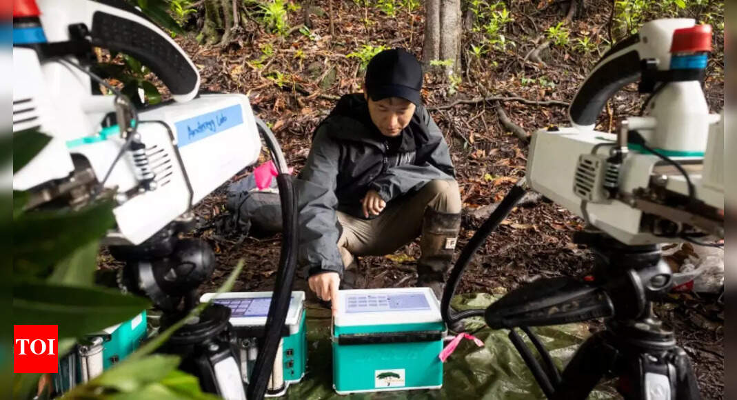
Field observations validate the satellite data by measuring CO₂ and taking leaf samples.
This new method aims to enhance, not replace, existing volcanic monitoring systems, and offer early warning.
- Who
- NASA scientists, using data from the AVUELO mission and satellites like Landsat 8, along with contributions from institutions like the Smithsonian Tropical Research Institute and McGill University.
- What
- Scientists are using satellite data to monitor tree health as an indicator of volcanic activity.
- When
- The technology is currently being developed, with research and field validation ongoing.
- Where
- Near volcanoes globally, with a demonstration at Costa Rica's Rincón de la Vieja volcano.
- Why
- To improve and provide earlier volcanic eruption warnings, especially in remote areas.
- Organization
- NASA
- Method
- Monitoring tree health via satellite
- Key Indicator
- Increased CO₂ absorption by trees
- Satellite Used
- Landsat 8
- Project
- AVUELO mission
- Objective
- Improve volcanic early warning systems