

Archive · 6 Jun 2025
Ocean Science Helps Coastal Fishermen in India Boost Catches
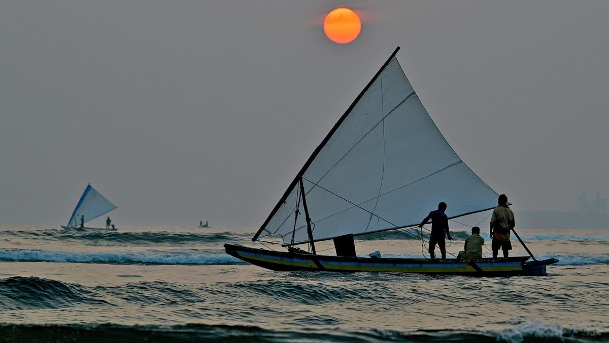
Imagine having a map that shows fishermen where the fish are most likely to be!
That's what the Indian government is doing.
Using satellites, they create 'fishing maps' called PFZ advisories.
These maps tell fishermen where to find lots of fish, which helps them catch more and earn more money.
Studies show that these maps work well, especially near Kerala.
Scientists are working to make these maps even better, so fishermen can catch even more fish and help the environment.

INCOIS provides Potential Fishing Zone (PFZ) advisories to Indian fishermen.
PFZ advisories use satellite data to identify fish-rich areas.
Fishermen using PFZ advisories have seen increased catches and income.
Studies show a link between PFZ access and higher fish catches, especially in Kerala.
The study recommends refining PFZ advisories with local factors and monitoring.
- Who
- Indian fishermen are utilizing PFZ advisories provided by INCOIS.
- What
- Potential Fishing Zone (PFZ) advisories generated from satellite data are guiding fishermen to better catches.
- When
- PFZ advisories are provided daily, with peak activity observed during monsoon season.
- Where
- Along the Indian coast, particularly in Kerala.
- Why
- To increase fish catches, income, and reduce environmental impact by guiding fishermen to areas with higher fish concentrations.
- Organization
- INCOIS (Indian National Centre for Ocean Information Services)
- Advisory Type
- Potential Fishing Zone (PFZ)
- Data Source
- High-resolution satellite data
- Impact
- Increased catches, income, reduced fuel costs
- Study Location
- Kerala
- Catch Composition (Kerala)
- 69% sardines and mackerel (2023)
- Peak PFZ Activity
- July to September (monsoon season)