

Archive · 6 Sep 2026
Bengal Plans Satellite Mapping to Guide Greener Tourism Development
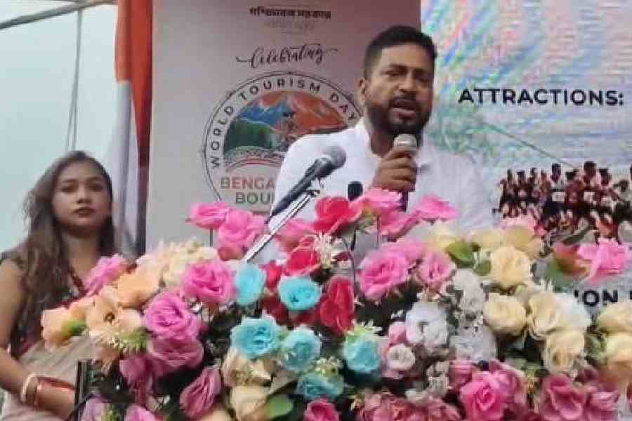
West Bengal wants to use satellites to study how its forests and green spaces have changed.
Officials will compare today’s land cover with data from 15 years ago.
They will use the results to decide where tourism facilities can be built.
The government says tourism should not harm forests, wildlife or local environments.
It also wants to avoid too much construction in sensitive places.
A new policy is being prepared to organize and regulate homestays.
A tourism department app may register every accommodation, from large hotels to small homestays.
The government also plans to include tourism in its industrial policy.
A new private air-conditioned bus service now links Alipurduar and Lataguri with Calcutta.

West Bengal will use satellite data to compare forest and green cover over the past 15 years.
The mapping will guide tourism infrastructure while accounting for forests, wildlife and environmentally sensitive areas.
The tourism department is seeking to bring tourism under the state’s industrial policy before Durga Puja.
A new policy would regulate homestays, while a department app would register hotels, resorts and homestays.
A private air-conditioned bus service has begun connecting Alipurduar and Lataguri with Calcutta.
- Who
- West Bengal Tourism Minister Shankar Ghosh and the state tourism department.
- What
- A satellite mapping project and related tourism policies were announced, alongside a new bus service.
- When
- The initiative was announced on Saturday; the industrial-policy move is planned before the upcoming Durga Puja festivities.
- Where
- The announcement was made in Lataguri, about 35km from Jalpaiguri, and concerns tourism destinations across Bengal.
- Why
- To plan tourism infrastructure using evidence about environmental changes and to limit ecological damage from unplanned development.
Environmental Protection
Tourism Development
How tourism should expand
Environmental Protection
Development should avoid excessive pressure on ecologically sensitive areas and prevent indiscriminate construction or destruction of forest land.
Tourism Development
Satellite mapping and inclusion in the industrial policy are intended to support investment, infrastructure development and improved service delivery.
Regulation of tourism businesses
Environmental Protection
A common regulatory framework and environmental-sustainability checks could help protect local environments and organize tourism establishments.
Tourism Development
Registering hotels, resorts and homestays could create a comprehensive database and make it easier to develop the sector.
- Mapping period
- Satellite data will compare forest and green cover over the past 15 years.
- Policy proposal
- Tourism is expected to be brought under West Bengal’s industrial policy before the upcoming Durga Puja festivities.
- Environmental focus
- Future projects are intended to consider local environments, forests and wildlife.
- Homestay policy
- A new policy is being prepared to regulate and organize the homestay sector.
- Registration app
- A dedicated tourism department app is planned to register hotels, resorts and homestays.
- New transport link
- A private air-conditioned bus service connects Alipurduar and Lataguri with Calcutta.