5 days ago
Tropical Storm Karina May Threaten Southern California as Models Shift

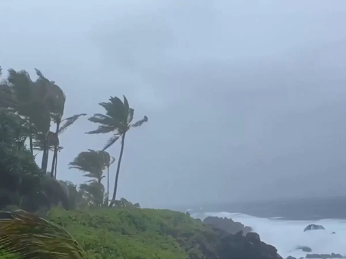
Tropical Storm Karina has formed in the Pacific Ocean.
It has winds faster than 45 miles per hour.
The storm could move toward the U.S. West Coast.
Some possible paths could bring it near Southern California.
This has raised concerns for millions of people living there.
Forecasters are studying different computer-model predictions.
The models do not yet show just one clear path.
The National Hurricane Center expects the storm to become a hurricane.

Tropical Storm Karina formed in the Pacific on August 27, 2026.
The storm had sustained winds exceeding 45 mph.
Forecast models show several possible tracks toward the U.S. West Coast.
Southern California could potentially be affected, raising concerns for millions of residents.
The National Hurricane Center expects Karina to strengthen into a hurricane.
- Who
- Tropical Storm Karina, the National Hurricane Center, and potentially millions of Southern California residents.
- What
- Karina formed as a tropical storm and could move toward Southern California or the U.S. West Coast.
- Where
- The storm formed in the Pacific and may move toward the U.S. West Coast, including Southern California.
- When
- The storm developed on August 27, 2026.
- Why
- Forecast models show several possible tracks, and the National Hurricane Center expects the storm to strengthen into a hurricane.
Key facts
- Storm
- Tropical Storm Karina
- Formation date
- August 27, 2026
- Location of formation
- Pacific Ocean
- Sustained winds
- More than 45 mph
- Potential impact area
- Southern California and the U.S. West Coast
- Forecast expectation
- The National Hurricane Center expects Karina to strengthen into a hurricane
- Forecast uncertainty
- Models show several possible tracks toward the U.S. West Coast
Sources
Related news

Tropical Storm Cristobal Expected to Dissipate by Friday, NHC Says

New Bay of Bengal Low Extends Tropical Disturbance Relay

Tropical Storm Lala Nears Hawaii With Possible Hurricane Landfall

Tropical Storm Moke Brings More Rain to Flooded Hawaii

Hurricane Lala Strengthens, Threatens Hawaii's Big Island with Flooding

China Braces for Heavy Rain as Typhoons Narra, Saudel Approach

NHC Foods Hits Upper Circuit After Warrant Issue Approval

Atlantic’s Next Tropical Storm Will Be Named Dolly