Archive · 4 Aug 2025
NASA-ISRO Nisar Satellite Launched to Monitor Earth
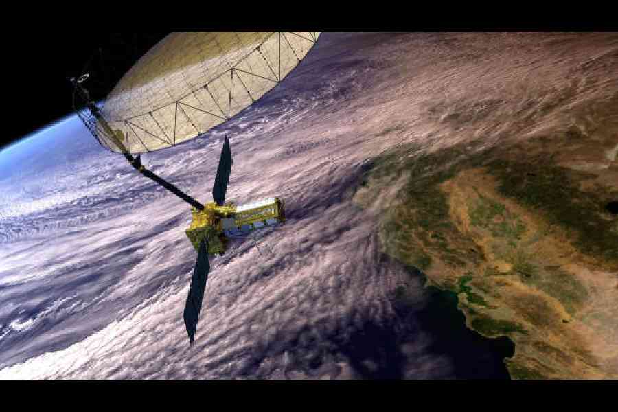
A new satellite called Nisar, made by NASA and India's space agency, is now in space.
It will use radar to watch the Earth and measure tiny changes on land and ice.
This can help scientists predict natural disasters like floods and volcanic eruptions.
The satellite can see through clouds and rain, providing helpful information.
The mission will study things like glaciers and crop growth, potentially helping us understand our planet better.

The NASA-ISRO Nisar satellite was launched to monitor Earth's land and ice regions.
The satellite can detect changes as small as a centimetre.
Nisar will repeatedly bounce radar waves off almost all of Earth's surface.
Data from Nisar could provide early warning of natural disasters like volcanic eruptions and floods.
The mission aims to last three years, with a possibility of extending for a couple more years.
- Who
- Joint mission between NASA and the Indian Space Research Organisation (ISRO)
- What
- Launch of the NASA-ISRO Synthetic Aperture Radar (Nisar) mission
- When
- Launched last Wednesday
- Where
- Satish Dhawan Space Centre, India’s southeastern coast
- Why
- To study land and ice deformation, provide early warnings for natural disasters, and track changes in the environment.
Focus: Scientific Advancement
Focus: Practical Applications
Technological vs. Practical Focus
Focus: Scientific Advancement
Highlights the technological advancements of the Nisar mission.
Focus: Practical Applications
Emphasizes the practical applications of the mission, such as disaster response and environmental monitoring.
- Mission Name
- Nasa-Isro Synthetic Aperture Radar (Nisar)
- Participating Organizations
- NASA and ISRO
- Launch Location
- Satish Dhawan Space Centre, India
- Orbit
- 747 kilometers above Earth's surface
- Primary Mission Duration
- 3 years
- Primary Goal
- Monitoring Earth's land and ice regions
- Technology
- Synthetic Aperture Radar