Archive · 6 Sep 2026
Drone Survey Begins to Redraw Bhopal Bhoj Wetland Boundaries
Officials are using drones to look at Bhopal’s Bhoj Wetland from above.
They want to find out exactly where the wetland’s boundaries are today.
The work follows instructions from the National Green Tribunal.
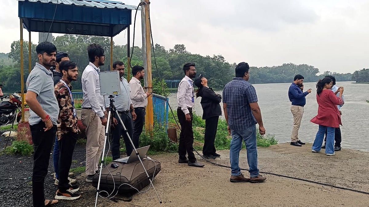
Drones flew from three places, including Bhadbhada Dam.
The first flight began at 11:30 a.m.
after the team’s planned 9 a.m.
meeting was delayed.
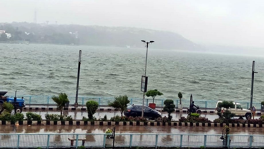
Rain made the drones stop flying in the afternoon.
Officials may continue the mapping on Sunday if the weather is safe.
The full boundary-checking exercise is expected to take about 15 days.

A drone survey to determine the Bhoj Wetland’s current boundaries began Saturday under National Green Tribunal directions.
Drones collected aerial photographs and videos from Bhadbhada Dam, Sair Sapata and Mugaliya Chhap.
The survey started at 11:30 a.m. after a planned 9 a.m. meeting and was suspended at 3:30 p.m. because of rain.
The aerial data will be compared with existing records, earlier boundaries and boundary markers.
The wider demarcation exercise covers the Bhoj Wetland, Kerwa and Kaliasot water bodies and is expected to take 15 days.
- Who
- The Madhya Pradesh Pollution Control Board, a National Green Tribunal-directed committee, Bhopal officials and environmental and technical experts.
- What
- A drone-supported demarcation of the Bhoj Wetland, including the Upper Lake, as well as the Kerwa and Kaliasot water bodies.
- When
- The drone survey began Saturday, was suspended at 3:30 p.m. because of rain, and may resume Sunday; the full exercise is expected to take 15 days.
- Where
- Bhadbhada Dam, Sair Sapata and Mugaliya Chhap in Bhopal, Madhya Pradesh.
- Why
- To establish the wetland’s actual boundaries in compliance with National Green Tribunal directions and compare current conditions with existing records.
No Gate Release at Full Tank Level
Gate Release if Water Exceeds Full Tank Level
Interpretation of National Green Tribunal directions
No Gate Release at Full Tank Level
MPPCB’s account of the Tribunal direction says wetland gates should not be opened once water reaches the prescribed Full Tank Level, so the boundary can be determined after the level stabilizes without gate release.
Gate Release if Water Exceeds Full Tank Level
Bhopal Municipal Corporation officials said the Tribunal also allowed a gate to be opened if the water level crosses the Full Tank Level, with the gates then closed once the level stabilizes.
Bhadbhada gate operations during the survey
No Gate Release at Full Tank Level
The survey report noted that some Bhadbhada gates were closed, including Gate No. 6 at 8 a.m.; Gate No. 3 had opened overnight and was closed at 3 a.m.
Gate Release if Water Exceeds Full Tank Level
The report also said Gate No. 9 was opened at 1:15 p.m. Saturday, while an earlier BMC account said one gate had opened Friday evening and was expected to remain open until 10 p.m.
- Nodal agency
- Madhya Pradesh Pollution Control Board
- Survey locations
- Bhadbhada Dam, Sair Sapata and Mugaliya Chhap
- First drone flight
- 11:30 a.m. Saturday near Bhadbhada Dam
- Survey interruption
- Flights were suspended at 3:30 p.m. because of rain and adverse weather
- Methods
- Drone mapping, aerial photography, videos, geo-tagging, ground-truthing, remote sensing, satellite imagery and marker verification
- Time frame
- The complete demarcation exercise is expected to take 15 days
- Drone clearance
- Permission was obtained for drone operations in the wetland area, including its no-fly zone