

Archive · 7 Oct 2026
DRDO HAPS Reaches 21 Kilometres in Successful Flight Trial
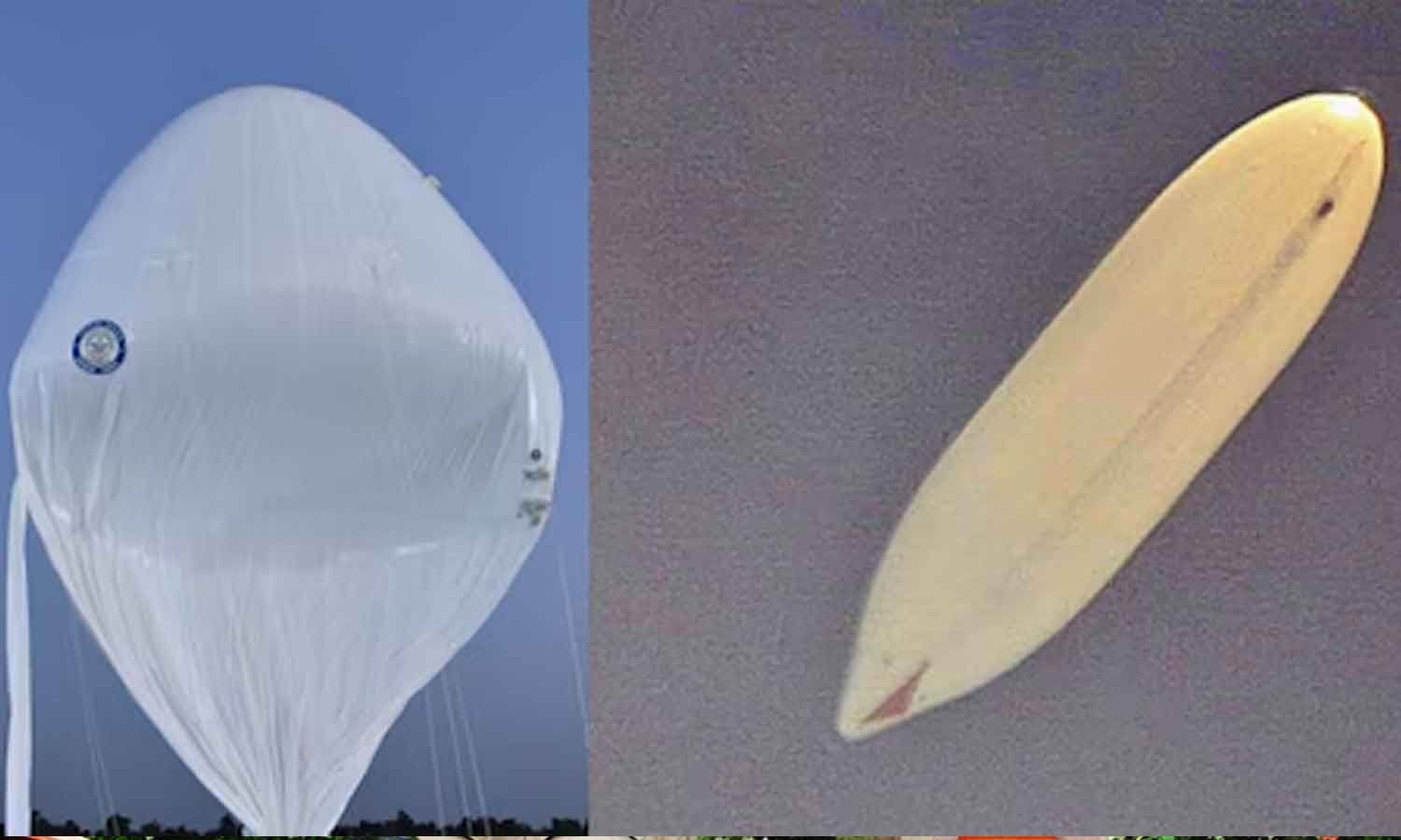
India’s defence research organisation tested a flying platform called HAPS.
It is a lighter-than-air system designed to stay high in the stratosphere for a long time.
In this test, it reached 21 kilometres above sea level and stayed near 20 kilometres for more than 30 minutes.
It sent video and information about how it was working to a station on the ground.
The platform was then told to descend and was recovered safely.
Officials studied the information gathered during the flight.
The system is being developed for uses such as surveillance, communications and monitoring.
Several defence and civil agencies helped coordinate the test.

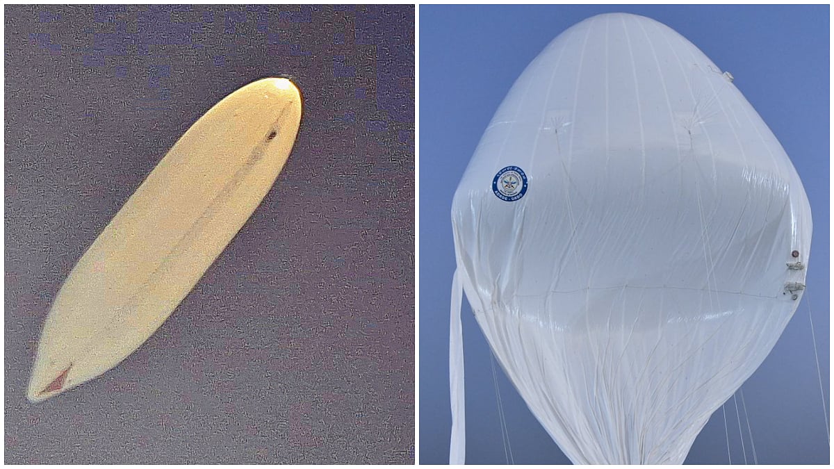
DRDO successfully tested its indigenously developed High-Altitude Platform, a lighter-than-air stratospheric system.
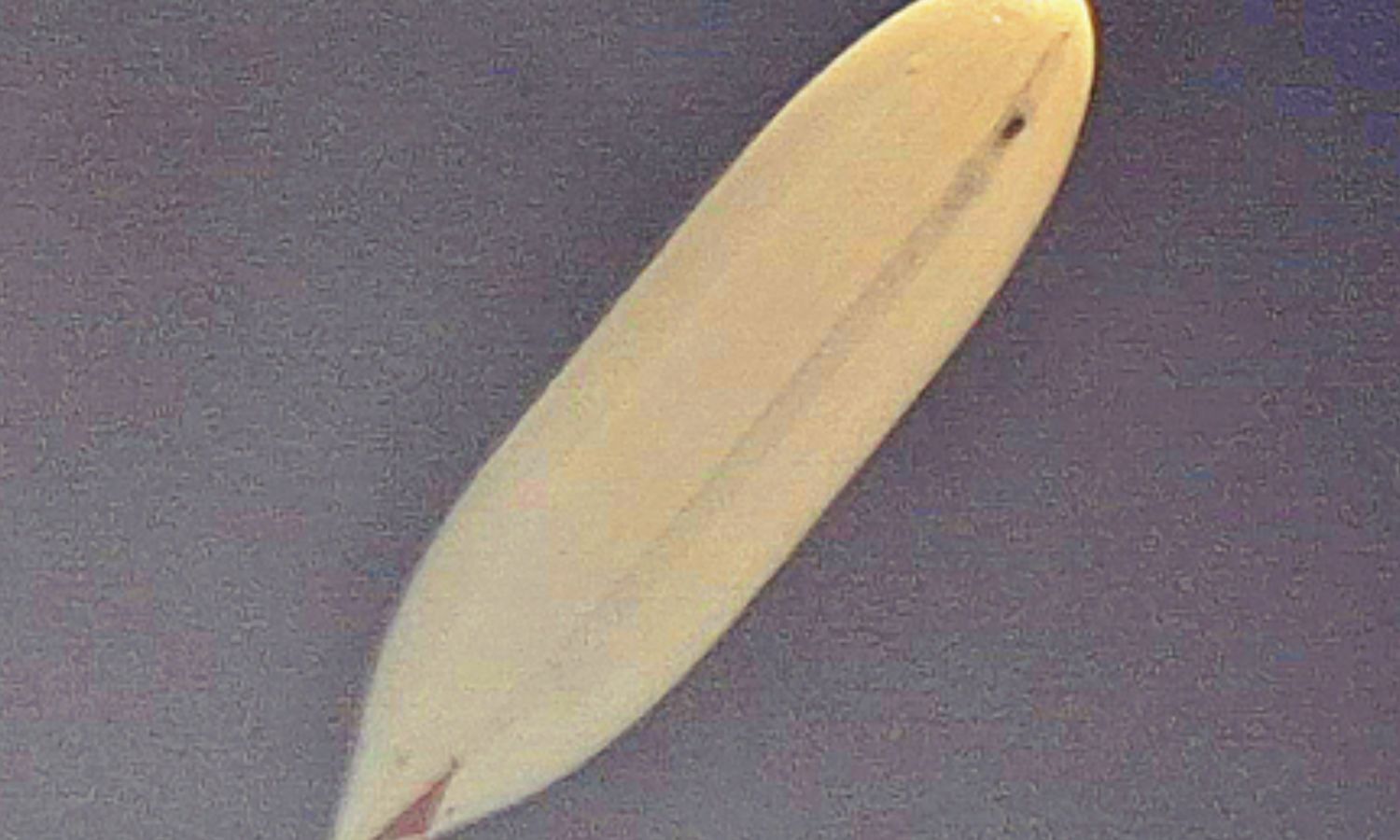
The platform reached 21 km above mean sea level and stayed near 20 km for more than 30 minutes.
It was commanded to descend, recovered safely, and its flight-performance data was analysed.
A ground control station received real-time video and vehicle parameters throughout the flight; officials said the system performed as intended.
DRDO's ADRDE is developing the platform, with the Indian Air Force and civil and aviation agencies coordinating the trial.
- Who
- The Defence Research and Development Organisation (DRDO), with the Indian Air Force and other agencies involved.
- What
- A successful flight trial of DRDO's indigenous High-Altitude Platform (HAPS), which reached 21 km.
- When
- Tuesday, October 6, 2026.
- Where
- The trial location is not specified in the articles.
- Why
- To test the platform's ability to operate in the stratosphere for long-endurance surveillance and other monitoring applications.
- System
- Indigenous High-Altitude Platform (HAPS), described as a lighter-than-air platform
- Peak altitude
- 21 km above mean sea level
- Time at altitude
- More than 30 minutes at around 20 km above mean sea level
- Flight data
- Real-time video and vehicle parameters were received at the ground control station throughout the flight
- Recovery
- The platform was recovered safely and flight-performance data was analysed
- Developer
- Aerial Delivery Research and Development Establishment (ADRDE), Agra, a DRDO laboratory
- Trial coordination
- The Indian Air Force, CEMILAC, DGCA, Airports Authority of India and other civil authorities coordinated the trial
- Potential applications
- Surveillance, communications and monitoring
Sources

India’s Eye In The Stratosphere? DRDO HAPS Reaches 21 Km In Major Flight Test
DRDO's Indigenous HAPS Reaches 21 Km Altitude In Successful Trial, Boosts India's Stratospheric Surveillance Capability
DRDO successfully tests indigenous High-Altitude Airship at 21 km
DRDO successfully tests indigenous high-altitude airship at 21 km for long-endurance surveillance

DRDO tests indigenously developed stratospheric surveillance platform HAPS