Archive · 12 Nov 2025
Enhancing Stubble Burning Data Accuracy for Air Pollution Control
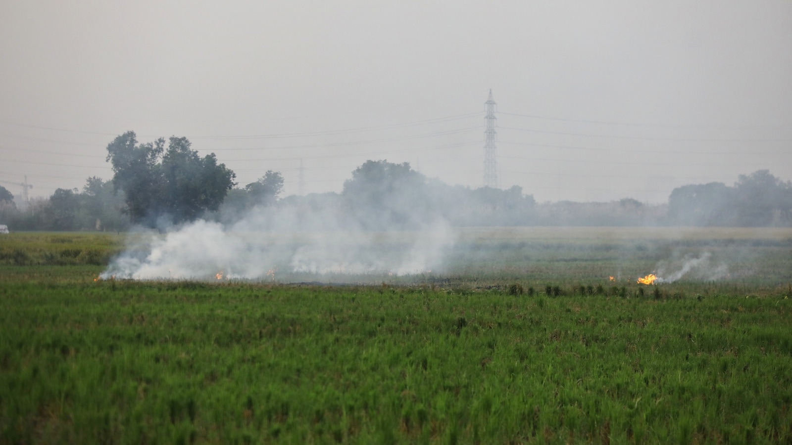
Imagine farmers burning leftover straw after harvesting their crops, like a big bonfire.
This smoke makes the air in Delhi very dirty, especially in winter.
Scientists use satellites, which are like cameras in space, to see where these fires are happening.
But sometimes, these cameras aren't perfectly sure, so they need people on the ground to check.
This new plan is like a detective game where satellites spot potential fires, and people in the fields confirm if the fire truly happened and how big the burnt area is.
By checking these burnt spots, the government can get better information to help stop the smoke from making the air so bad for everyone to breathe.
They want to use this super-accurate information to better control the pollution by next year.

CAQM is implementing a ground-truthing exercise to verify satellite data on stubble-burnt farms.
This initiative aims to improve the accuracy of data used to combat air pollution in Delhi-NCR.
The process involves collaboration between central and state authorities, including NRSC and state remote sensing centers.
High-resolution satellite imagery, particularly from ESA's Sentinel-2, is used to map burnt areas.
Accurate mapping will enable more focused enforcement actions against stubble burning, a major pollution contributor.
- Who
- The Commission for Air Quality Management (CAQM) in NCR and adjoining areas, with support from the National Remote Sensing Centre (NRSC), state remote sensing centres, district authorities, and ICAR.
- What
- An exercise to verify satellite-mapped areas of stubble-burnt farms to improve the accuracy of data used for air pollution control.
- When
- Currently underway, with final protocol expected by next winter; data collection ongoing since September 15.
- Where
- Punjab and Haryana, with implications for Delhi-NCR air quality.
- Why
- To provide more accurate data for focused enforcement against stubble burning, which is a significant source of air pollution in Delhi-NCR.
- Data Verification Method
- Ground truthing of satellite-mapped burnt farm areas.
- Key Agencies Involved
- CAQM, NRSC, Punjab and Haryana Remote Sensing Centres, District Authorities, ICAR.
- Satellite Data Source
- Primarily European Space Agency's Sentinel-2 (10m resolution), using optical and infrared images.
- Data Collection Frequency
- Fortnightly estimates available internally since September 15.
- Goal for Implementation
- Finalized 'burnt area' mapping protocol by next winter.
- Contribution to Delhi Pollution
- Up to 35% of emissions on some November days; 15.45% of PM2.5 on a recent Wednesday.
Sources
Administration to implement stronger measures for cleanliness, sanitation: Delhi CM

Delhi CM orders modern waste compactors, panel for road construction

Delhi Govt to build modern sports grounds in schools to nurture young talent
MCD forms special teams to implement Winter Action Plan to check air pollution
Sirsa urges citizens to cooperate with GRAP-III restrictions to combat Delhi’s pollution