

Archive · 26 Jul 2026
ISRO Releases NISAR S-Band SAR Data
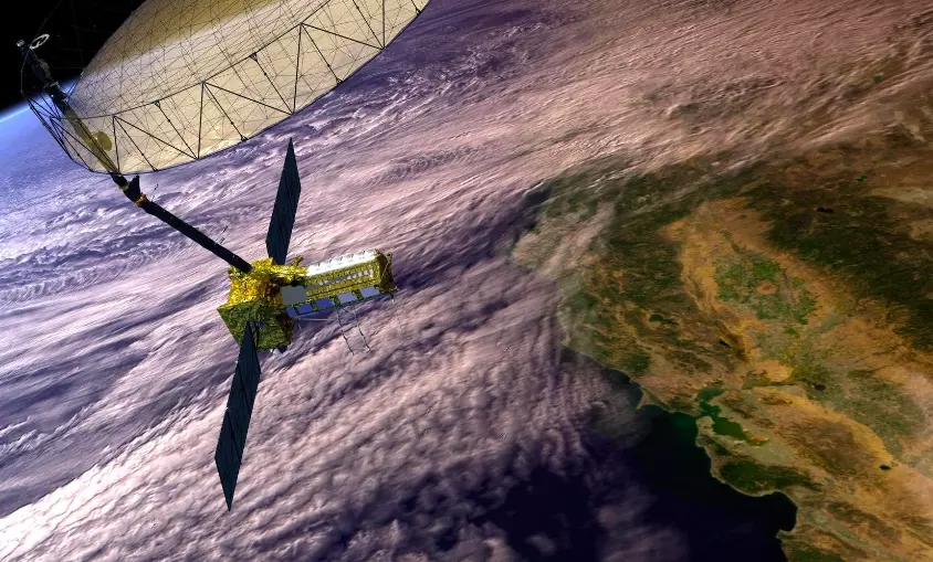
The Indian Space Research Organisation (ISRO) has made special satellite data available to the public.
This data comes from a satellite called NISAR, which works with NASA.
NISAR takes pictures of Earth's surface using special radar technology.
The data is useful for studying disasters, the environment, farming, and more.
People can access this data through a portal called Bhoonidhi.
The data is being updated and will include older information in the future.
Scientists and researchers can use this data for their work.

ISRO has released NISAR S-band SAR data for public access through the Bhoonidhi portal.
NISAR is a dual-frequency radar satellite providing high-resolution imaging of Earth's surface.
Data products include standard SAR datasets, interferometric products, and pixel offset products.
The data supports applications like disaster management, environmental monitoring, and agriculture.
Registered users can search, visualize, and download NISAR datasets through the Bhoonidhi portal.
- Who
- Indian Space Research Organisation (ISRO) and NASA
- What
- Release of NISAR S-band Synthetic Aperture Radar (SAR) data
- When
- Cycle 25 began on July 8, 2026
- Where
- Data processed at IMGEOS, NRSC, Shadnagar; accessible via Bhoonidhi portal
- Why
- To provide advanced earth observation datasets for research and applications
Scientific Community
General Public
Data Accessibility
Scientific Community
The scientific community benefits from advanced earth observation datasets for research and applications.
General Public
The general public may not have the expertise to utilize the data effectively.
- Mission Name
- NASA-ISRO Synthetic Aperture Radar (NISAR)
- Frequency Bands
- L-band and S-band
- Data Release Portal
- Bhoonidhi
- Data Products
- Standard SAR datasets, interferometric products, pixel offset products
- Applications
- Disaster management, environmental monitoring, agriculture, land-use studies, geohazard assessment
- Cycle Start Date
- July 8, 2026
- Processing Location
- Integrated Multi-Mission Ground Segment for Earth Observation Satellites (IMGEOS), NRSC, Shadnagar