

Archive · 14 Aug 2026
A Surveying Error Created the Free State of Cospaia
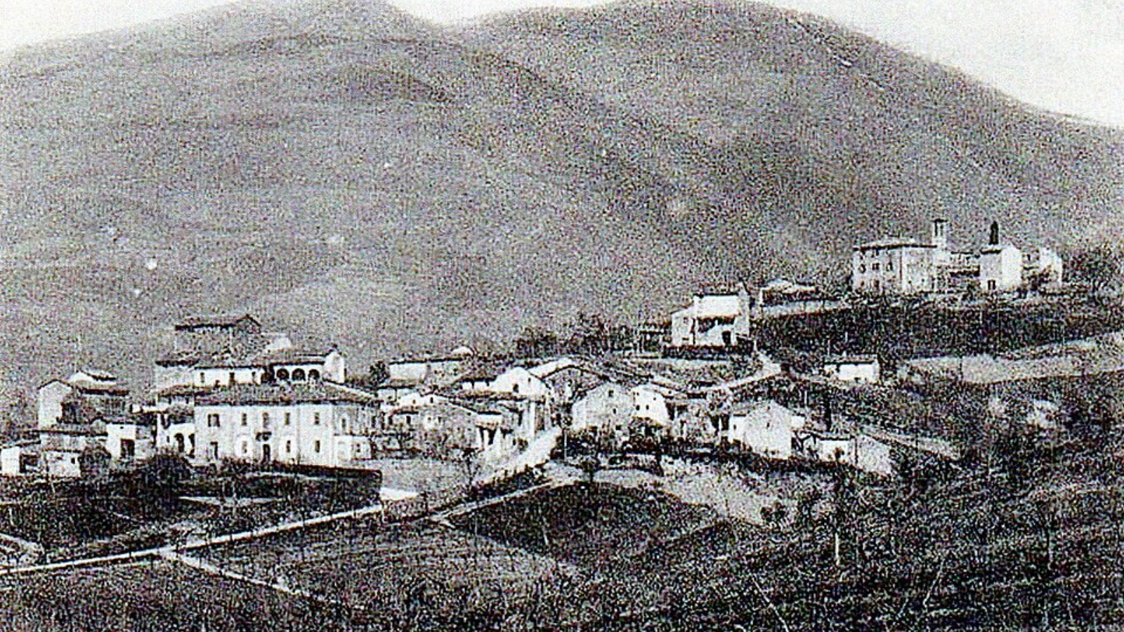
Imagine someone drawing a map and coloring a tiny piece of land the wrong way.
That mistake is what people say created a real, tiny country called the Free State of Cospaia.
A long time ago, surveyors made a big error while measuring land.
Because of that error, a small village was not part of any bigger country.
The village became its own little republic.
Nobody planned for this new mini-country to exist.
It lasted for a very long time—almost four hundred years.
Many people think it is one of the strangest little countries ever.
This story shows how a simple mistake can sometimes make history.

A cartographic error is said to have created the Free State of Cospaia, a European micronation.
The surveying mistake transformed a tiny village into an independent republic.
The republic reportedly lasted for nearly four centuries.
The article describes Cospaia as one of history's most unusual micronations.
The article dates the accident to 19th-century Europe, which conflicts with the republic's four-century lifespan.
- Who
- The Free State of Cospaia, a tiny village that became an independent republic.
- What
- A surveying mistake accidentally created a new micronation, the Free State of Cospaia.
- When
- The article places the accident in 19th-century Europe, though it also says the republic lasted nearly four centuries.
- Where
- Europe.
- Why
- A cartographic error during a survey.
- Entity
- Free State of Cospaia
- Type
- Micronation / independent republic
- Origin
- Surveying (cartographic) error
- Location
- Europe
- Founding settlement
- A tiny village
- Duration
- Nearly four centuries
- Distinction
- One of history's most unusual micronations