

Archive · 25 Dec 2025
NASA Captures 120km-Wide Tsunami Wave from Space
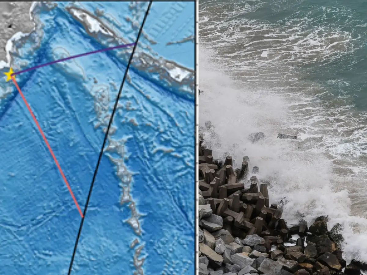
In 2025, a huge earthquake with a magnitude of 8.8 happened near Russia's Kamchatka Peninsula.
This earthquake caused a giant tsunami wave that was 120 kilometers wide.
NASA's special satellite, called SWOT, saw this big wave from space.
The wave was so big that it lifted parts of the seafloor by 13 feet.
Scientists used data from the satellite and special buoys in the ocean to understand how the earthquake happened and how the seafloor moved.
They found that the earthquake's rupture zone was about 402 kilometers long.
This information was published in a science journal called Seismic Record in November 2025.

A massive 8.8-magnitude earthquake struck off the coast of Russia's Kamchatka Peninsula in 2025, triggering a 120km-wide tsunami wave.
NASA's SWOT satellite captured the tsunami wave, which was the largest earthquake the satellite had recorded since its launch in 2022.
The earthquake's rupture zone stretched approximately 402 kilometers, causing parts of the seafloor to lift up by 13 feet.
Researchers combined data from NASA's SWOT satellite and NOAA's DART tsunami warning system to map the earthquake's rupture zone and understand the seafloor shifts.
The findings were published in the journal Seismic Record in November 2025.
- Who
- NASA and NOAA researchers
- What
- Captured a 120km-wide tsunami wave from space
- When
- 2025
- Where
- Off the coast of Russia's Kamchatka Peninsula
- Why
- To study the earthquake's rupture zone and seafloor shifts
- Event
- 2025 Kamchatka earthquake and tsunami
- Magnitude
- 8.8
- Location
- Off the coast of Russia's Kamchatka Peninsula
- Wave Width
- 120 kilometers
- Seafloor Uplift
- 13 feet
- Rupture Zone Length
- 402 kilometers
- Satellite Used
- NASA's Surface Water and Ocean Topography (SWOT)
- Publication
- Seismic Record (November 2025)