Archive · 26 Oct 2025
India and Mauritius Complete 18th Hydrographic Survey
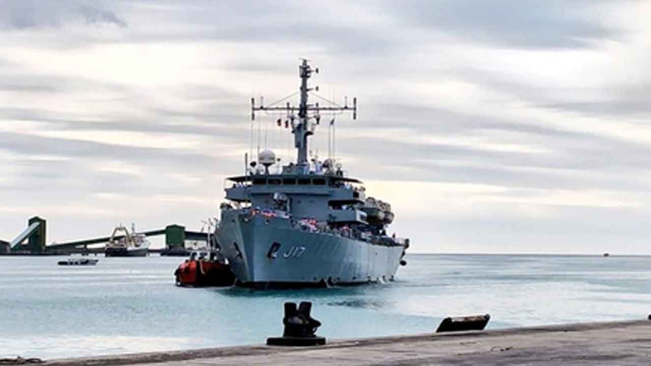
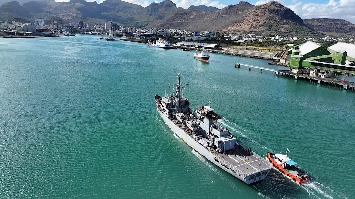
India and Mauritius worked together to map the ocean floor around Mauritius using a ship called INS Sutlej.
They surveyed a large area, which helps create accurate maps and manage resources.
Additionally, they conducted joint patrols to keep the seas safe and provided training to Mauritian personnel on hydrographic techniques.
This is part of a long-standing partnership focused on safe navigation and ocean management, supporting Mauritius’s Blue Economy goals.

INS Sutlej completed a joint hydrographic survey with the Mauritius Hydrographic Service.
The survey covered approximately 35,000 square nautical miles.
The initiative supports Mauritius’s Blue Economy goals.
Mauritian personnel received training on board INS Sutlej.
Joint EEZ surveillance and anti-piracy patrols were conducted.
- Who
- India and Mauritius
- What
- Completed a joint hydrographic survey
- When
- September 29, 2025
- Where
- Mauritius
- Why
- To contribute to marine charting, coastal regulation, resource management, and regional maritime security
- Participating Ship
- INS Sutlej
- Survey Area
- 35,000 square nautical miles
- Joint Missions Completed
- 18
- Key Activities
- Hydrographic Survey, EEZ surveillance, anti-piracy patrols
- Arrival Date
- September 29, 2025