

Archive · 3 Sep 2025
The Genesis of Modern Borders: How America Reshaped Global Boundaries
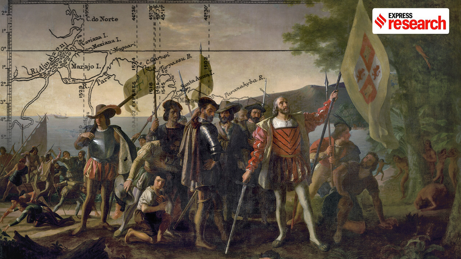
Imagine a group of explorers coming to a new land, not knowing who owns what.
That's what happened in America a long time ago.
Europeans started drawing lines on maps to say which land belonged to whom.
Before this, people didn't really care about lines as much.
These lines, first drawn in America, changed the way the whole world thought about borders.
It was made possible by old maps and new ideas about who could control land.
These new border ideas spread across the globe, influencing how countries were created and how we see the world today.

European settlers in America pioneered the use of linear boundaries for territorial claims.
Pre-modern societies used different forms of authority, not always defined by clear borders.
The Ptolemaic cartographic grid, rediscovered in Europe, enabled linear divisions.
The Treaty of Tordesillas and Papal Bull were initial attempts to create borders.
The practice of making borders was applied in Europe after the Napoleonic conquests.
- Who
- European settlers
- What
- Established linear territorial borders in America
- When
- Beginning in the 15th century
- Where
- Primarily in the Americas
- Why
- To define claims over unknown territories and manage resources.
- Origin
- 15th-century America
- Key Concept
- Linear territorial boundaries
- Influencing Factor
- Ptolemaic cartographic grid
- Early Application
- Dividing new territories between Spain and Portugal
- Global Impact
- Influenced border practices worldwide
- Europe adoption
- After the Napoleonic conquests