

Archive · 21 Aug 2026
India, Nepal Agree Drone Mapping Amid Dasgaja Border Row
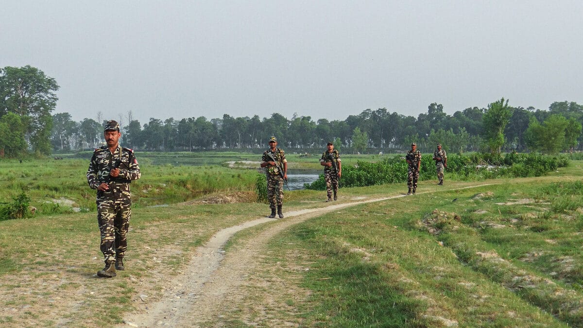
India and Nepal share a long, mostly open border.
Along parts of it is a 10-yard strip called the Dasgaja.
Sometimes people farm, live on or use land that technically belongs to the other country.
India and Nepal will use drones to take pictures of these areas.
Officials from both countries will study the images together.
They hope to create one shared technical record of the disputed land use.
The survey may start around September or October and could take three years.
The information could later help the countries decide whether land should be returned, encroachments removed or compensation considered.

India and Nepal agreed to use drones to map encroachments along the Dasgaja strip of no-man’s land.
The mapping will also document cross-border occupation, including farming, residence or land use across the technical boundary.
The decision was made at the 13th Survey Officials’ Committee meeting in Lucknow last week.
The joint survey is expected to begin after the monsoon, around September or October, with completion targeted within three years.
The move follows controversy over Prime Minister Balendra Shah’s remarks about Indian and Nepali land encroachments.
- Who
- India and Nepal, represented by the Survey of India and Nepal’s Survey Department.
- What
- They agreed to jointly use drones to map Dasgaja encroachments and cases of cross-border occupation.
- When
- The decision was taken at a meeting held last week; fieldwork is expected around September or October and has a three-year completion target.
- Where
- Along the 1,880-kilometre India-Nepal open border, including the Dasgaja strip; the committee meeting took place in Lucknow.
- Why
- To establish a jointly verified technical record that can support later negotiations over encroachments, land restoration or compensation.
Nepal Government Clarification
Political Critics’ Concerns
Meaning of Balendra Shah’s remarks
Nepal Government Clarification
Nepal’s Foreign Ministry said Shah was referring mainly to Dasgaja encroachment and cross-border occupation, rather than making a new territorial claim against India.
Political Critics’ Concerns
Opposition lawmakers in Nepal criticized Shah’s statement in Parliament and sought clarification and evidence for his claim that India had encroached on Nepali land and Nepal had encroached on Indian land.
How the land issue should be assessed
Nepal Government Clarification
The governments are pursuing joint drone imagery, analysis and a common technical assessment before deciding how individual cases should be resolved.
Political Critics’ Concerns
The controversy highlighted demands for clearer evidence concerning claims linked to Limpiyadhura, Lipulekh and Kalapani, which Nepal claims but India administers.
- Dasgaja
- A 10-yard-wide strip of no-man’s land along the India-Nepal border.
- Border length
- India and Nepal share an open border stretching 1,880 kilometres.
- Mapping method
- Unmanned aerial vehicles will capture images of reported occupation and encroachment areas.
- Decision-making body
- The agreement was reached at the 13th meeting of the jointly led Survey Officials’ Committee.
- Expected start
- The joint survey is expected to begin after the monsoon, around September or October.
- Completion target
- Nepal’s Survey Department said the mapping is intended to be completed within three years.
- Potential use
- The technical assessment could support negotiations over removal of encroachments, land restoration or compensation.