Archive · 31 Jan 2026
Bomb Cyclone Threatens US East Coast
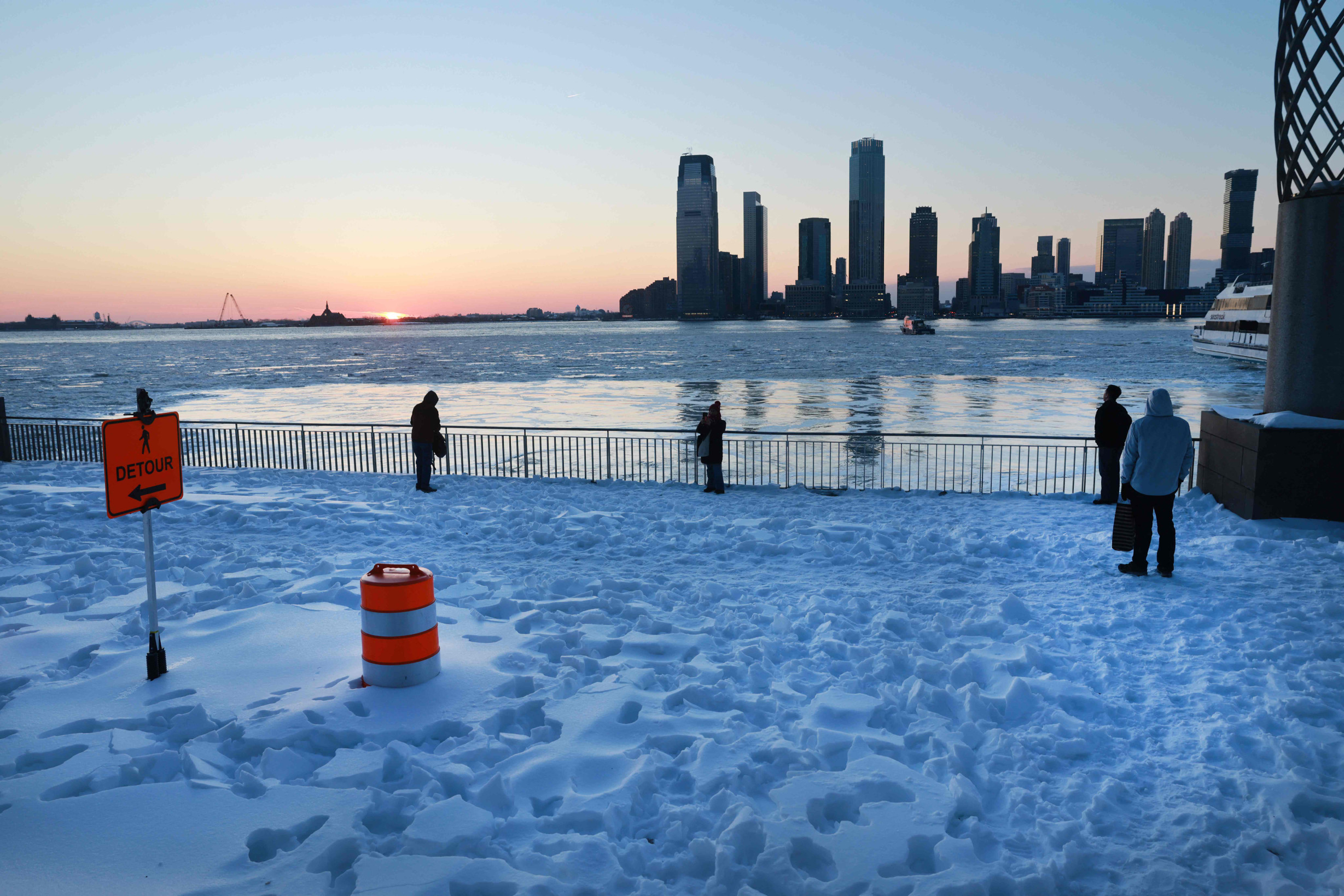
The US East Coast is getting ready for a very strong winter storm called a bomb cyclone.
This storm will bring lots of snow, very cold temperatures, and strong winds.
It starts on January 30 and will be the strongest on January 31.
Places like New York City might get a few inches of snow, but areas like North Carolina and Virginia could get much more snow and very strong winds.
The storm happens when cold air from the Arctic meets warmer air over the ocean, making the storm get stronger very quickly.
People should be careful because it might cause flooding, make travel dangerous, and knock out power.
Many people are still without power from a previous storm, and the cold weather is making things harder for them.
Workers are trying to fix the power lines as fast as they can, but it's a big job.
Some places, like Myrtle Beach, aren't used to snow and don't have the right equipment to clean it up.
Everyone is working together to stay safe and warm during this big storm.

A bomb cyclone is expected to hit the US East Coast, bringing hurricane-force winds, heavy snowfall, and extremely cold temperatures.
The storm will start on January 30 and peak on January 31, causing life-threatening conditions including coastal flooding and power outages.
North Carolina and Virginia are expected to face the worst effects, with 6–12 inches of snow and wind gusts up to 70–80 mph.
More than 230,000 homes and businesses are without electricity, with the majority of outages in Mississippi and Tennessee, due to a previous storm.
Workers are working tirelessly to restore power, but the cold weather and potential for heavy snowfall are making the situation more challenging.
- Who
- Residents and authorities along the US East Coast, including utility companies and National Guard troops
- What
- A severe winter storm known as a bomb cyclone, with potential for heavy snowfall, hurricane-force winds, and extremely cold temperatures
- When
- Starting on January 30, peaking on January 31, with subfreezing weather expected to persist into February
- Where
- From the Carolinas to New England, with the worst effects expected in North Carolina and Virginia
- Why
- Due to the rapid intensification of a low-pressure system meeting cold Arctic air with warmer ocean air, causing a bomb cyclone
Preparation and Response
Criticism and Concerns
Power Restoration Efforts
Preparation and Response
Utility companies and National Guard troops are working tirelessly to restore power and distribute supplies, with some workers putting in 16-hour days.
Criticism and Concerns
Critics argue that communication and transparency from utility companies, particularly Nashville Electric Service, have been inadequate, leading to frustration among residents.
Preparation for Snow
Preparation and Response
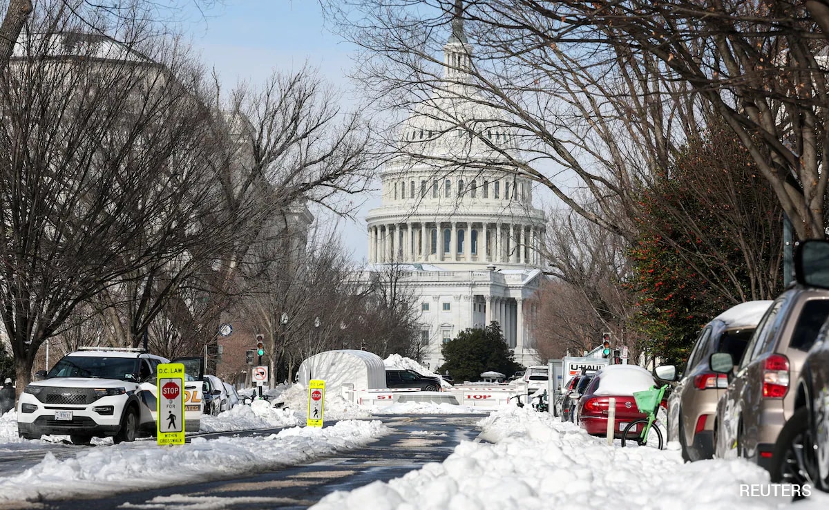
State workers and National Guard soldiers are preparing roads and equipment to handle the upcoming snowfall, with some cities like Myrtle Beach improvising with available machinery.
Criticism and Concerns
Concerns are raised about the lack of snow removal equipment in areas like Myrtle Beach, which is more accustomed to hurricanes than snowstorms.
- Storm Type
- Bomb Cyclone (Bombogenesis)
- Affected Regions
- Carolinas to New England
- Expected Conditions
- Hurricane-force winds, heavy snowfall, extremely cold temperatures
- Pressure Drop
- At least 24 millibars in 24 hours
- Peak Intensity
- January 31
- Expected Snowfall in NYC
- 3 inches
- Expected Snowfall in NC/VA
- 6–12 inches
- Expected Wind Gusts
- 70–80 mph
- Power Outages
- More than 230,000 homes and businesses without electricity
- Hypothermia Risks
- Increased risk for vulnerable populations, including the elderly and those with underlying health conditions