Archive · 10 Nov 2025
ISRO Develops Advanced Data Products on Moon’s Polar Region
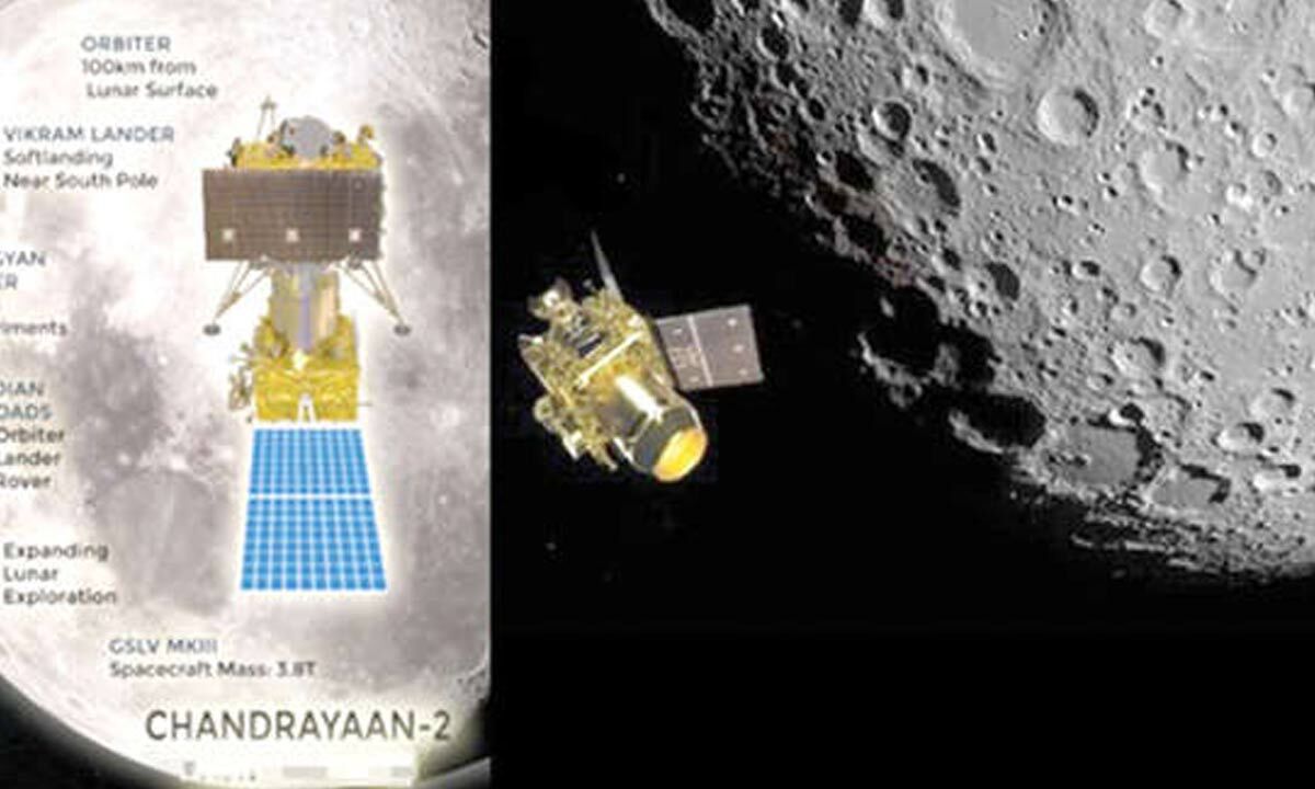
Imagine India has a special spaceship orbiting the Moon called Chandrayaan-2.
This spaceship has a super-powered radar scanner that has taken many pictures, like 1400 of them, of the top and bottom parts of the Moon.
Scientists in India have learned how to look at these pictures very closely.
They can tell how bumpy the Moon's ground is, if there might be ice hidden there, and even how much stuff is packed into the Moon's surface.
They made the tools to understand these pictures all by themselves.
These special pictures are important because they help scientists learn about what the Moon was like a very long time ago and where different minerals are.
This information is useful for everyone studying the Moon.

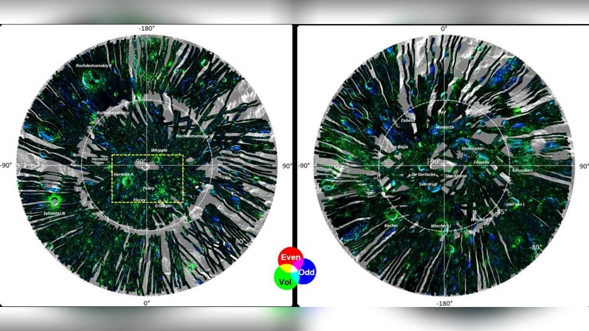
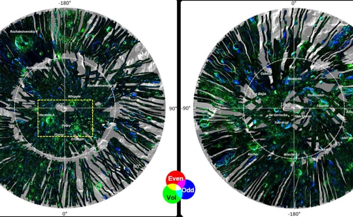
ISRO has developed advanced data products for the Moon's polar regions using data from Chandrayaan-2's DFSAR.
The data products provide information on potential water-ice, surface roughness, density, and porosity of the lunar surface.
Approximately 1400 radar datasets have been collected and processed since Chandrayaan-2's launch in 2019.
ISRO's Space Applications Centre (SAC) indigenously developed the algorithms and data products for analysis.
The data is valuable for characterizing the lunar polar region and understanding early solar system conditions and mineral distribution.
- Who
- ISRO (Indian Space Research Organisation) scientists
- What
- Developed advanced data products on the Moon’s polar region including potential water-ice presence, surface roughness, density, and porosity.
- When
- November 8, 2025
- Where
- Moon's polar regions
- Why
- To characterize the polar region, study mineral distribution, and gain insights into the early chemical conditions of the solar system.
ISRO's Technological Achievement
Scientific Significance of Data
Indigenous Development
ISRO's Technological Achievement
ISRO indigenously developed the algorithms and data products for analyzing the radar datasets collected by the Chandrayaan-2 mission.
Scientific Significance of Data
The development of these ready-to-use data products on lunar polar regions is significant because it provides valuable information for characterizing the Moon's surface and studying mineral distribution.
Data Collection and Resolution
ISRO's Technological Achievement
The Dual Frequency Synthetic Aperture Radar (DFSAR) on Chandrayaan-2 has collected approximately 1400 radar datasets since its launch in 2019.
Scientific Significance of Data
This data is crucial for understanding potential water-ice presence, surface roughness, density, and porosity of the Moon's surface, offering insights into the early chemical conditions of the solar system.
- Organization
- ISRO (Indian Space Research Organisation)
- Mission
- Chandrayaan-2 Orbiter
- Instrument
- Dual Frequency Synthetic Aperture Radar (DFSAR)
- Data Collected
- Approximately 1400 radar datasets
- Development Location
- Space Applications Centre (SAC), Ahmedabad
- Focus Areas
- Water-ice presence, surface roughness, density, porosity, mineral distribution, early solar system conditions.
Sources
ISRO Releases Chandrayaan-2 Lunar Orbiter Data To Boost Moon Polar Research
ISRO develops advanced data products on Moon’s polar region
ISRO Collects Advanced Chandrayaan-2 Data To Study Moon's Polar Regions
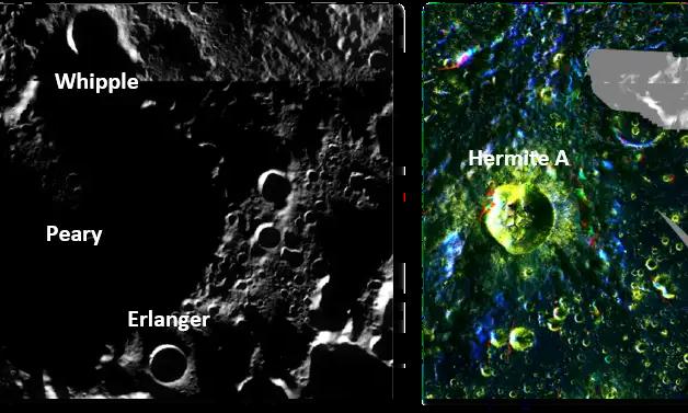
Isro Unveils High-Resolution Radar Maps of Moon’s Poles