Archive · 5 Sep 2026
UN backs fairer maps as India urges cartographic neutrality
The United Nations voted on whether maps should show the sizes of continents more fairly.
Most countries voted yes, while the United States voted no.
Six countries abstained.
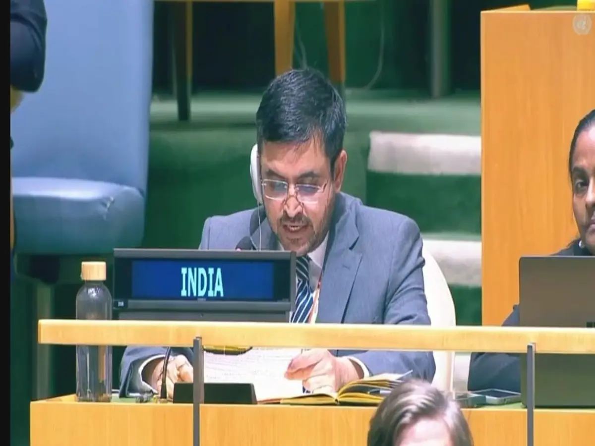
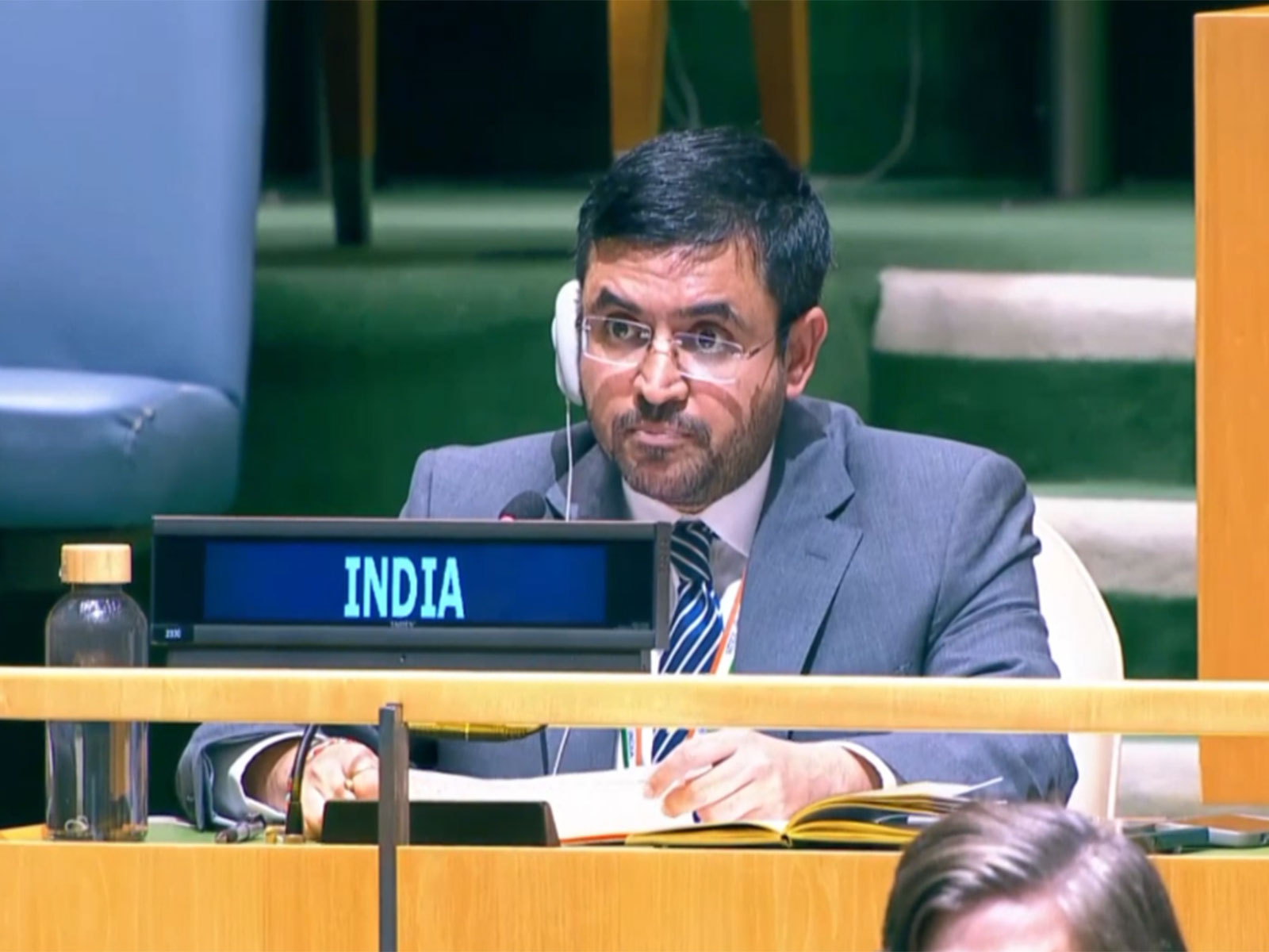
India also voted yes, but said countries and mapmakers should be free to choose different map designs.
Equal-area maps try to show the true relative sizes of land areas.
The familiar Mercator map is useful for sailors because it keeps compass directions clear.
However, it makes places near the North and South Poles look much bigger than they are.
Greenland can look similar in size to Africa, even though Africa is about 14 times larger.
The resolution encourages fairer maps but does not ban the Mercator projection.

The UN General Assembly passed the non-binding “Correct the Map” resolution 164-1, with six abstentions.
India supported encouraging equal-area maps but said the measure should not endorse Equal Earth or any single projection.
The resolution urges schools, media, governments and technology companies to prefer equal-area maps when comparing land sizes.
Mercator maps preserve compass bearings for navigation but exaggerate regions near the poles; Africa is about 14 times larger than Greenland.
The United States cast the only opposing vote, calling the resolution a distraction from peace and prosperity and linking it to a “radical ideological project.”
- Who
- The United Nations General Assembly, with India and other member states; the United States cast the only no vote.
- What
- The Assembly adopted a non-binding resolution encouraging the use of equal-area map projections when comparing land sizes.
- When
- Friday; the articles do not provide a specific date.
- Where
- At the United Nations General Assembly in New York.
- Why
- To reduce distortions in perceptions of the relative sizes of continents and territories.
Supporters of Equal-Area Mapping
United States Opposition
Purpose of the resolution
Supporters of Equal-Area Mapping
Supporters say equal-area maps show the relative sizes of continents and territories more accurately and can reduce misleading perceptions.
United States Opposition
The United States called the vote a distraction from peace and prosperity and associated it with a “radical ideological project.”
Choice of projection
Supporters of Equal-Area Mapping
India supports encouraging equal-area approaches where land-size comparisons matter, while maintaining that countries, institutions and cartographers should choose projections for their needs.
United States Opposition
The United States opposed the resolution; the articles do not identify a preferred alternative map design.
Mercator’s future use
Supporters of Equal-Area Mapping
The resolution urges schools, media, governments and technology companies to prefer equal-area maps for relevant comparisons.
United States Opposition
The resolution does not ban Mercator, which remains useful for navigation and other purposes.
- Resolution
- “Correct the Map,” a non-binding United Nations General Assembly resolution.
- Vote
- Passed 164-1, with six abstentions.
- India’s position
- India supported the broader principle of encouraging equal-area maps but not Equal Earth or any single projection.
- Mercator projection
- It preserves compass bearings for navigation but makes land near the poles appear disproportionately large.
- Africa and Greenland
- Greenland covers about 2.16 million square kilometres, while Africa covers about 30.37 million square kilometres.
- Other map comparisons
- Brazil is nearly five times larger than Alaska, although they can appear similarly sized on Mercator maps.
- Related actions
- France said it would remove Mercator from official materials, while the African Union adopted Equal Earth earlier this year.