

Archive · 23 Jul 2025
Fresh Monsoon Surge Brings Heavy Rain to South, West Coast
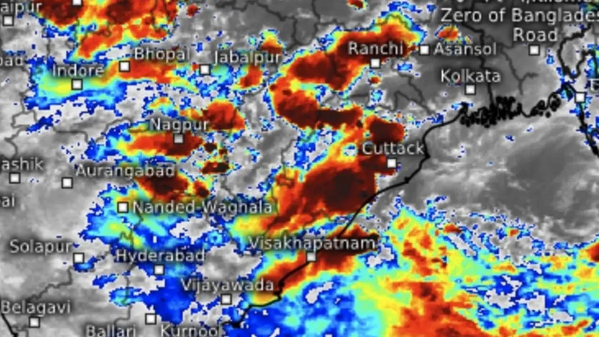
Get ready for some serious rain!
The monsoon is getting stronger over southern and western India.
This means heavy rainfall is coming to places like Coastal Karnataka, Konkan, and parts of Maharashtra.
The weather is being pushed around by different systems, like air spinning in circles and areas of low pressure.
The government has predicted really heavy downpours in certain areas for the next few days.
The rain will be sticking around, with more showers expected in the south and west for the next week.

A fresh monsoon surge is expected over the South Peninsula and West Coast.
Heavy to very heavy rainfall is predicted for Coastal Karnataka, Konkan, and ghat areas of Madhya Maharashtra.
The India Meteorological Department (IMD) forecasts extremely heavy falls in certain regions.
Several weather systems, including circulations and troughs, are driving the monsoon.
Heavy rainfall is expected in Kerala, Karnataka, Andhra Pradesh, and Telangana in the coming days.
- Who
- The India Meteorological Department (IMD) is providing the forecasts.
- What
- A fresh monsoon surge bringing heavy rainfall to South and West Coast regions.
- When
- Heavy rainfall is expected in the coming days, with specific forecasts for different regions.
- Where
- South Peninsula, West Coast, Coastal Karnataka, Konkan, Madhya Maharashtra, Kerala, Karnataka, Andhra Pradesh, Telangana, and other parts of India.
- Why
- Due to the convergence of multiple weather systems, including monsoon troughs, cyclonic circulations, and troughs.
- Forecast Period
- Next 7 days
- Affected Regions
- South Peninsula, West Coast, and various other areas
- Key Weather Systems
- Monsoon trough, cyclonic circulations, troughs
- IMD Prediction
- Extremely heavy rainfall in several areas
- Specific Areas of Concern
- Coastal Karnataka, Konkan, ghat areas of Madhya Maharashtra