

Archive · 29 Sep 2025
NISAR Satellite Captures First Images of Earth's Surface
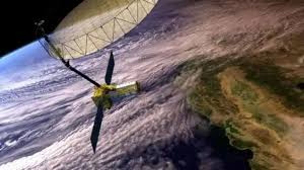
NASA and ISRO teamed up to build a special satellite called NISAR that takes pictures of Earth.
On August 21st and 23rd, it took its first photos, showing places like Mount Desert Island in Maine and North Dakota.
The satellite uses radar to see the ground in amazing detail, like small waterways and buildings.
These pictures help scientists understand forests, wetlands, and farms better.
This information will be useful for helping with disasters and managing things like crops.
It also helps us learn about other planets.

NISAR satellite, a joint project between NASA and ISRO, captured its first images of Earth.
The images reveal detailed views of Maine's Mount Desert Island and parts of North Dakota.
The satellite uses L-band synthetic aperture radar to scan Earth with high precision.
NISAR will provide information for disaster response, infrastructure monitoring, and agriculture management.
The project highlights international collaboration in space exploration.
- Who
- NASA and ISRO
- What
- Captured first images of Earth's surface using the NISAR satellite
- When
- First images captured on August 21 and 23
- Where
- Maine's Mount Desert Island and part of northeastern North Dakota
- Why
- To gather valuable information for disaster response, infrastructure monitoring, and agriculture management.
- Satellite Name
- NASA-ISRO Synthetic Aperture Radar (NISAR)
- Launch Date
- July 30
- First Images Captured
- August 21 and 23
- Radar Type
- L-band synthetic aperture radar (SAR)
- Partners
- NASA and ISRO
- Objective
- Earth observation