

Archive · 18 Sep 2025
India-Myanmar Border: Deep Cultural Ties and Shifting Boundaries
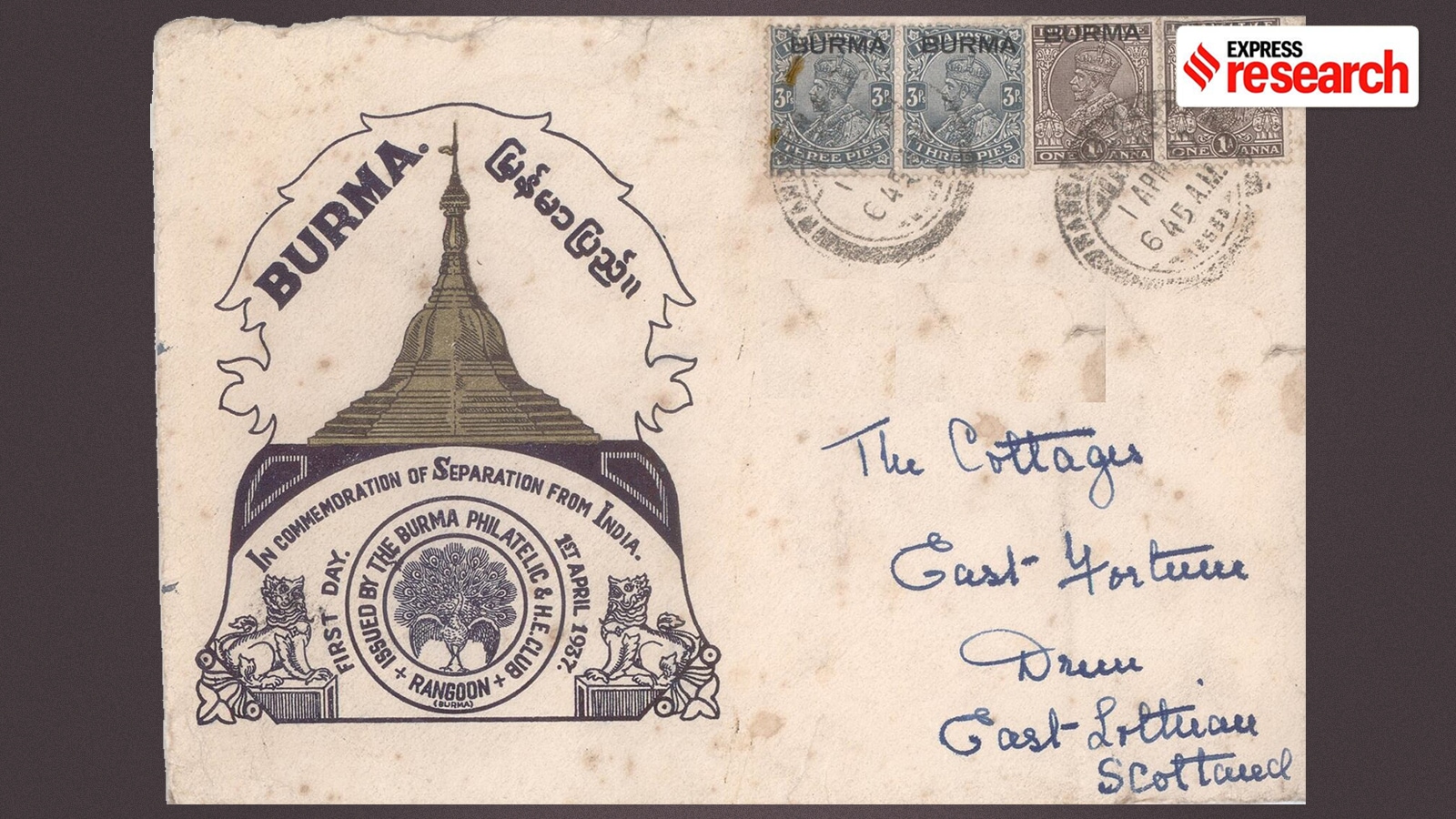
Imagine a line drawn on a map that separates two countries, India and Myanmar.
This line, the border, has a long history.
It was shaped by the British in the 1800s when they wanted to control Myanmar.
Over time, this border has changed.
Now, people living near the border, who are culturally connected, face new rules, like fences and travel restrictions.
Some worry about losing their way of life.
The government is also debating the rules about how people can cross the border.

The India-Myanmar border spans 1,643 km through northeastern Indian states.
The border's porosity historically stemmed from cultural ties among border communities.
The border was established during the colonial era when the British expanded into Burma.
The Free Movement Regime (FMR) allowed border communities to cross easily, but it's being restricted.
The government is considering more border fencing and tighter control, impacting communities.
- Who
- India and Myanmar
- What
- The India-Myanmar border, its history, and the impact of border changes on local communities.
- When
- From the 19th century to the present.
- Where
- The border between India and Myanmar.
- Why
- Due to colonial influence, political objectives, and differing views on border management.
Concerns of local communities and their advocates
Government perspective on border security
Free Movement Regime (FMR)
Concerns of local communities and their advocates
FMR is essential for the survival of border communities, allows for educational opportunities and trade
Government perspective on border security
FMR has been exploited by insurgents and smugglers; stricter controls are necessary
Border Fencing
Concerns of local communities and their advocates
Fencing and restrictions disrupt long-standing community ties and socio-economic activities.
Government perspective on border security
Border fencing and restrictions are necessary for national security
- Border Length
- 1,643 km
- States Bordered (India)
- Arunachal Pradesh, Nagaland, Manipur, Mizoram
- Fencing Progress (2014)
- 3.47 km completed
- Free Movement Regime Reduction (2024)
- From 16 km to 10 km
- Date of Formal Agreement
- March 10, 1967