

Archive · 9 Oct 2026
Uttar Pradesh Plans Space Technology Across More Than 50 Departments
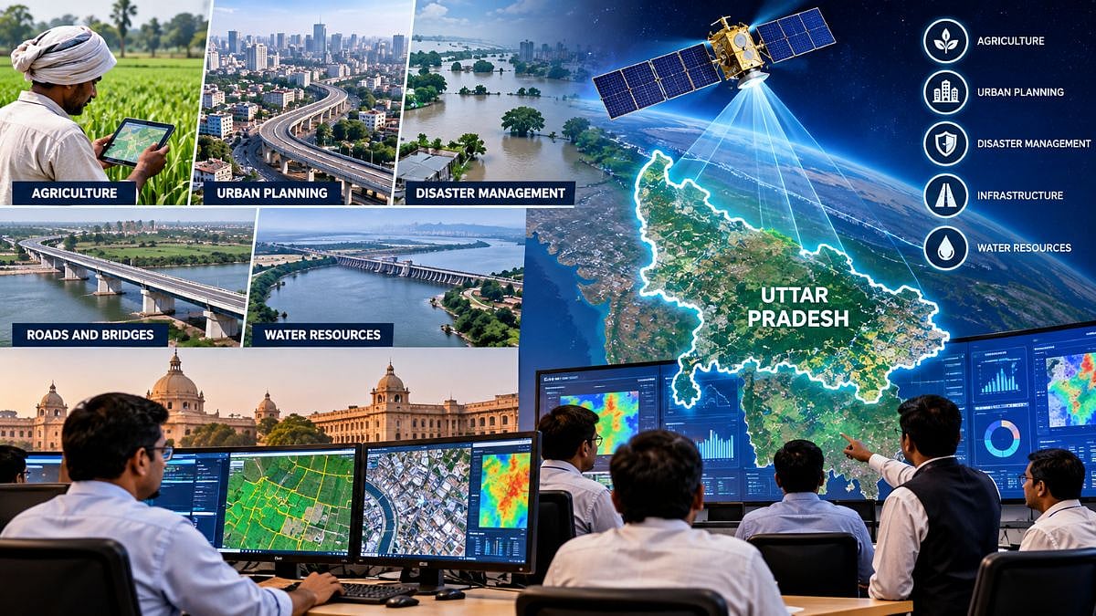
Uttar Pradesh wants to use information from satellites to help plan and manage the state.
Officials discussed using it to monitor crops and help farmers get useful information on time.
It could also help plan roads, bridges, water projects and towns.
Mapping land plots could help people know where their fields begin and end.
Mapping houses could help cities manage building taxes.
Satellite information may also help officials prepare for droughts, floods and other disasters.
The ideas were discussed at a two-day workshop in Lucknow.
Representatives from more than 50 departments and districts took part.

Uttar Pradesh plans to expand the use of satellite data, remote sensing and geo-mapping across government work.
The two-day 11th Space Applications Adoption Workshop began in Lucknow on October 8, 2026.
Officials highlighted applications in agriculture, urban planning, water management, infrastructure and disaster response.
Chief Secretary S.P. Goyal called for geo-tagging all state plots and mapping every house.
More than 50 departments and districts, 22 industry partners and 75 private firms participated.
- Who
- Uttar Pradesh officials, experts, industry partners and representatives from more than 50 departments and districts.
- What
- A two-day workshop on expanding the use of space technology in governance and development.
- When
- It began on October 8, 2026.
- Where
- Dr. Ram Manohar Lohia Uttar Pradesh Academy of Administration and Management, Lucknow.
- Why
- To promote satellite-based applications for development planning, governance, agriculture, disaster management and other state priorities.
- Workshop
- 11th Space Applications Adoption Workshop
- Duration
- Two days
- Organizers
- Remote Sensing Applications Center, Uttar Pradesh; IN-SPACe; and the state Urban Development Department
- Participating departments and districts
- More than 50
- Industry partners presenting solutions
- 22
- Private firms participating
- 75
- Key applications discussed
- Agriculture, urban development, water resources, disaster management and rural development