2 hrs ago
Karnataka Notifies Road Grid Beyond Greater Bengaluru Authority
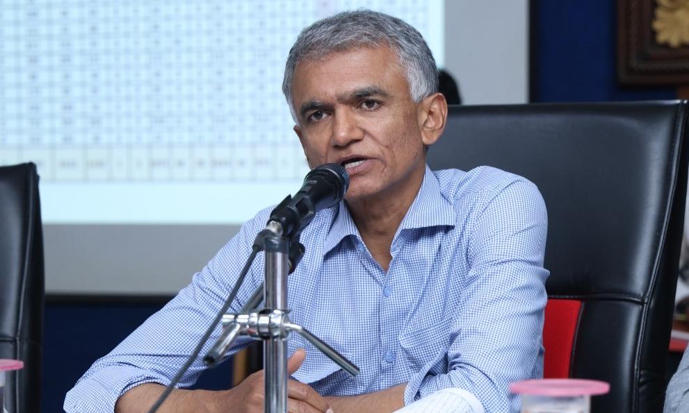
The government has planned a large network of roads around Bengaluru, outside the current Greater Bengaluru Authority area.
These places are growing quickly and may become part of the city’s larger urban area.
Officials want to build roads before houses and layouts spread everywhere.
The plan also includes improving drinking water and drainage.
Hundreds of roads may be widened under the plan.
Some roads could become as wide as 90 metres.
People must check the road plans before building houses or layouts.
The roads will be built in stages and may take five to 10 years to complete.

The Karnataka government has notified a new road grid for Bengaluru Urban areas outside the Greater Bengaluru Authority.
The plan covers hundreds of roads and aims to support future urban growth with better connectivity, water supply and drainage.
Road corridors will connect local administrative centers with major roads, highways, the Peripheral Ring Road and the Satellite Town Ring Road.
Some roads currently as narrow as 10 metres have been designated for widths of 30, 45 or up to 90 metres.
Construction could take five to 10 years, while land in notified corridors must remain vacant for future development.
- Who
- The Karnataka government, led on this announcement by Bengaluru Development Minister Krishna Byre Gowda, with directions attributed to Chief Minister D K Shivakumar.
- What
- A new road grid has been notified for Bengaluru Urban district areas outside the Greater Bengaluru Authority.
- Where
- Bengaluru Urban district areas outside the Greater Bengaluru Authority, including jurisdictions under the Bangalore Metropolitan Region Development Authority and other local development authorities.
- When
- The announcement was made on September 29; the year is not specified in the articles.
- Why
- To guide future urban expansion and prevent traffic, drainage, road and water-supply problems caused by unplanned growth.
Key facts
- Current urbanised area
- Approximately 750 square kilometres
- Estimated future urbanised area
- Between 1,400 and 1,800 square kilometres
- Road widths
- Notified widths include 30 metres, 45 metres and, in some cases, up to 90 metres
- Construction timeline
- The complete network could take five to 10 years to construct
- Road coverage
- The notification covers hundreds of roads and a network running into thousands of kilometres
- Related infrastructure
- A master plan is being prepared for drinking water and progressively improved drainage across Bengaluru Urban district
- Development restriction
- Land required for notified road corridors must remain vacant during new layout or house construction
Quotes
Krishna Byre Gowda
Karnataka Bengaluru Development Minister
“Whether we want it or not, urbanisation around Bengaluru is inevitable. If we do not plan and provide infrastructure in these areas now, they too will face the same traffic and drainage problems that Bengaluru is struggling with today.”
 deccanchronicle.com
 theprint.in
“We are today facing the consequences of the planning deficiencies of the past. We must learn from these mistakes and ensure that they are not repeated.”
deccanchronicle.com
theprint.in
Sources
Related news
Supreme Court Questions Bengaluru Infrastructure Amid Premium FAR Case
Bengaluru Home Approvals To Become Faster With Nambike Nakshe 2.0
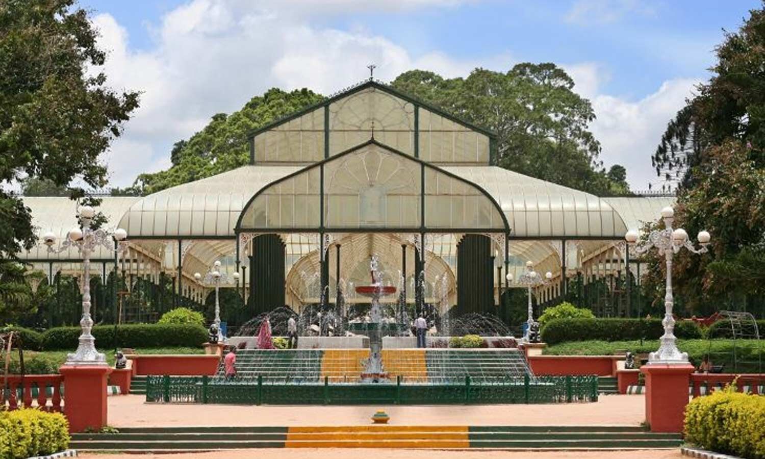
Bengaluru Tunnel Exit Shifted Away From Lalbagh Over Environmental Concerns
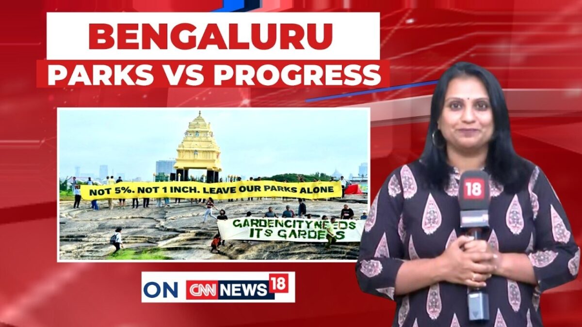
Bengaluru Citizens Challenge Withdrawn 5% Park Land Rule
Anantapur Seeks Expansion to Improve Smart City Prospects

Bengaluru Minister Says Parked Vehicles Occupy 60 Percent Of Roads

Kumaraswamy Challenges Shivakumar Over Alleged Bengaluru-Mysuru Corridor Irregularities

EPS Accuses CM Vijay of Inaction Over Mekedatu Dam

Belagavi Woman Allegedly Killed by Husband After Seeking Divorce
BJP Kisan Morcha Accuses Karnataka Government of Mishandling Drought