

Archive · 24 Jul 2025
NISAR: NASA and ISRO Set for Landmark Earth Science Satellite Launch
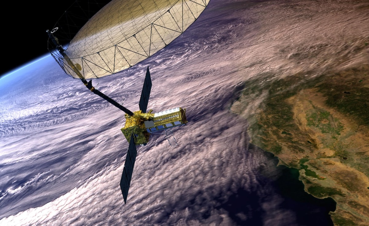
Imagine a super-powered satellite called NISAR built by the US and India.
It's like a giant eye that sees the Earth in amazing detail, even through clouds and darkness.
It will help scientists study earthquakes, melting ice, and how we use land.
NISAR will send back pictures every 12 days to help with climate change and disasters.
It will show how the Earth changes over time.
Anyone can use this information, making it easier to protect the planet.
The mission shows how countries can work together in space.

NISAR is a joint Earth science mission by NASA and ISRO, designed to monitor changes on Earth's surface.
The satellite will launch on July 30 from Sriharikota, India, with a dual-frequency radar system to scan the globe.
NISAR can detect ground deformation, ice sheet movement, and vegetation dynamics, providing all-weather data.
It will support climate science, disaster response, and resource management, with data accessible globally.
The mission, costing $1.3 billion, is a 50-50 partnership and showcases international cooperation in space.
- Who
- A collaboration between NASA and ISRO.
- What
- NISAR, a joint Earth-observing satellite mission.
- When
- Scheduled for launch on July 30.
- Where
- Launched from Satish Dhawan Space Centre, Sriharikota, India; monitors Earth globally.
- Why
- To monitor changes in Earth's surface for climate science, disaster response, and resource management.
- Mission Name
- NISAR (NASA-ISRO Synthetic Aperture Radar)
- Partners
- NASA and ISRO
- Launch Date
- July 30
- Launch Location
- Sriharikota, India
- Cost
- $1.3 Billion
- Radar Type
- Dual-frequency (L-band & S-band)
- Coverage
- Global, every 12 days