

Archive · 13 Jan 2026
Lok Path 2.0 App Warns Commuters About Black Spots
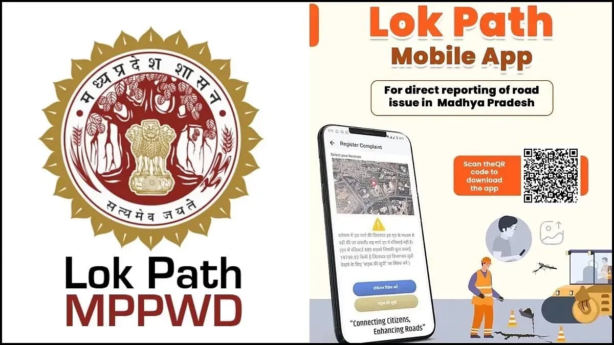
The Public Works Department in Indore has created a new app called Lok Path 2.0.
This app helps people driving by warning them about dangerous areas on the road called black spots.
It tells them about these spots 500 meters before they reach them, just like how Google Maps does.
The app also gives information about the condition of the roads, traffic, weather, and places like hospitals, hotels, and petrol pumps.
It even shows where there are sharp turns or cuts in the road that might be dangerous.
The app was made to help people drive more safely and to fix problems on the roads faster.
Since it started, many people have used it to report issues, and the department is working to make the roads better.

Lok Path 2.0 app launched by PWD to alert commuters about black spots 500 meters in advance.
App provides real-time alerts on road quality, traffic, weather, and emergency facilities.
77,000 kilometers of roads, including national highways, have been mapped with 1,041 black spots identified.
App warns about unauthorized cuts, sharp turns, and dangerous stretches to reduce fatal accidents.
Nearly 15,000 complaints have been registered since the app's launch, addressing public concerns efficiently.
- Who
- Public Works Department (PWD) and Chief Minister Mohan Yadav
- What
- Launch of Lok Path 2.0 app to warn commuters about black spots
- When
- Recently launched
- Where
- Indore, Madhya Pradesh
- Why
- To improve road safety and provide real-time alerts and information to commuters
- App Name
- Lok Path 2.0
- Developer
- Public Works Department (PWD)
- Launch Date
- Recently launched by Chief Minister Mohan Yadav
- Roads Mapped
- 77,000 kilometres
- Black Spots Identified
- 1,041
- Complaints Registered
- 15,000
- Alert Distance
- 500 metres before black spots