1 hr ago
Isaias Threatens Gulf Coast Energy Output as Forecasts Differ

Isaias was a powerful storm moving toward the US Gulf Coast.
Forecasters expected it to become a Category 2 hurricane, with very strong winds.
They did not all agree on exactly where it would go.
One forecast kept it away from many oil and gas sites, while some other models showed it could move closer to Louisiana.
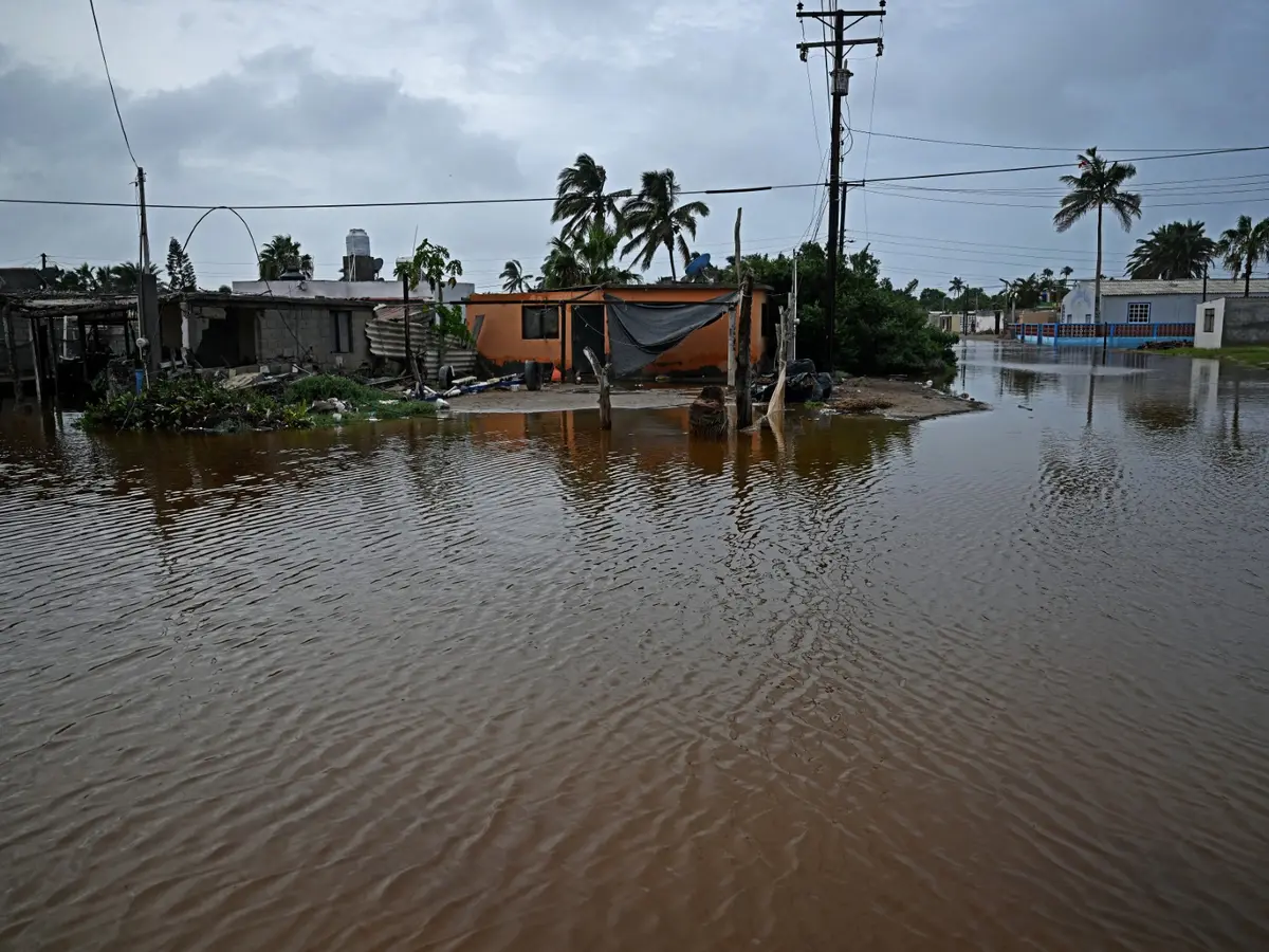
The storm could bring heavy rain, flooding and high water along the coast.
Chevron was moving some workers off its Gulf platforms as a safety step.
The company said it did not expect to change operations at that time.
Some Gulf oil and gas production had already been stopped before the storm.

Isaias was forecast to strengthen into a Category 2 hurricane, with top winds of 110 miles per hour.
The National Hurricane Center's forecast track kept the storm east of major oil and gas assets off Louisiana and Texas, while some conventional models showed a possible shift toward eastern Louisiana.
Forecasters warned of damaging winds, heavy rain, flooding and storm surge, with up to 7 feet of water potentially moving inland on top of high tide.
Chevron was evacuating non-essential personnel from Gulf platforms but said no production or operational changes were expected at that time.
By Tuesday, about 9.24% of Gulf oil production and 3.36% of natural gas production had been shut in ahead of the storm.
- Who
- Tropical Storm Isaias, Gulf Coast energy producers and communities in the storm's forecast path.
- What
- Isaias was forecast to strengthen into a Category 2 hurricane, bringing potential wind, flooding and energy-production risks.
- Where
- The US Gulf Coast, with alerts from Mississippi to Florida and possible effects on energy assets near Louisiana and Texas.
- When
- The reports describe Wednesday forecasts, with the storm expected to approach the US Gulf Coast on Friday.
- Why
- The storm was forecast to intensify over very warm water and moist air, creating potential hazards for communities and energy infrastructure.
Forecast track nearer energy assets
Forecast track farther from energy assets
Where Isaias may travel
Forecast track nearer energy assets
Some conventional, physics-based models showed the storm tacking toward eastern Louisiana, potentially bringing it closer to energy assets near New Orleans.
Forecast track farther from energy assets
The National Hurricane Center's current forecast, informed partly by newer AI-enabled storm models, took Isaias well east of major oil platforms and gas pipelines off Louisiana and Texas.
Key facts
- Forecast strength
- Strong Category 2 hurricane; forecast top winds of 110 miles per hour.
- Forecast timing
- Expected to reach the US Gulf Coast Friday.
- Storm surge
- Up to 7 feet of water could move inland on top of high tide.
- Oil production shut in
- About 9.24% of Gulf oil production as of Tuesday.
- Natural gas production shut in
- About 3.36% of Gulf natural gas production as of Tuesday.
- Chevron response
- Evacuating non-essential personnel from Gulf platforms; no operational changes were expected at the time.
- Potential economic impact
- Risk modeler Chuck Watson said damages and economic impacts could exceed $6 billion if effects extended eastward as he described.
Quotes
Brian McNoldy
Hurricane researcher at the University of Miami
“There’s a little bit of wiggle room.”
 livemint.com
Sources
Related news
Isaias Could Strengthen Into Hurricane Before Gulf Coast Landfall
First Atlantic Hurricane of 2026 May Threaten Gulf Coast

Florida Declares Emergency as Tropical Depression Nine Strengthens

Hurricane Polo Nears Mexico With Flooding And Wind Threat

Hurricane Watch Issued for Hawaii’s Big Island as Nolo Strengthens

Hurricane Polo Becomes Category 5 Storm Off Mexico

Reuters Finds GOP Candidates Distancing Themselves From Trump