Archive · 5 Sep 2026
Supreme Court Panel Seeks More Time to Define Aravallis
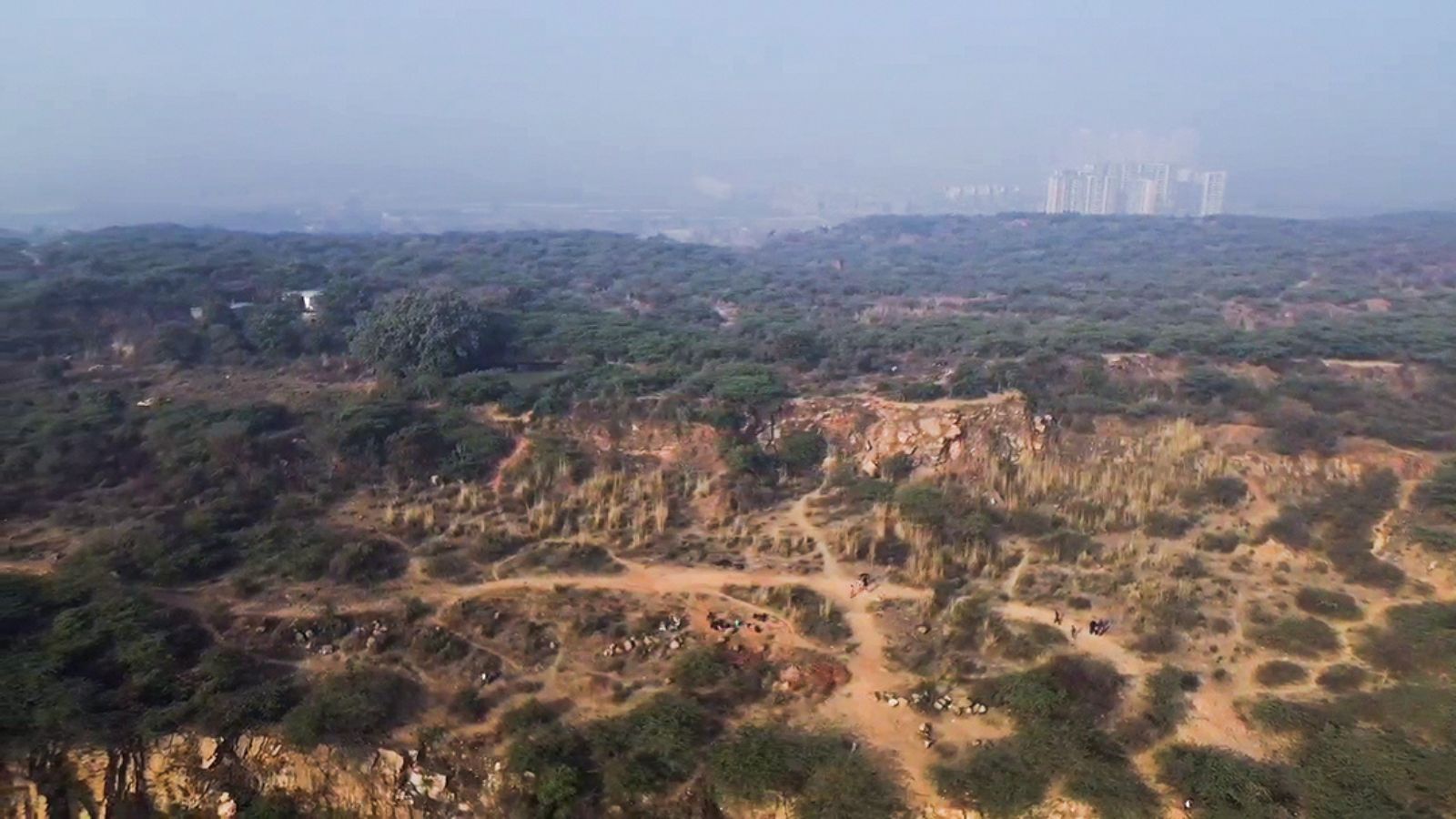
A Supreme Court panel is trying to decide which areas should count as part of the Aravallis.
It says measuring only the height of hills would miss important connected parts of the environment.
These parts include forests, water sources, wildlife areas, villages and cultural places.
The panel wants to study the whole landscape as one connected ecosystem.
It is comparing a newer rule based on hills at least 100 metres high with an older mapping method.
Tests have already been carried out in Alwar, Ajmer and Udaipur.
Experts will check the maps and data before the panel publishes large area estimates.
Many groups have told the panel how mining, farming, conservation and livelihoods could be affected.
The panel has asked for more time to finish its work, although reports give slightly different dates for the requested deadline.

The Supreme Court-appointed High-Powered Committee says the Aravallis cannot be scientifically defined by height or another single terrain-based measure.
The panel has requested roughly six additional months, with reports differing on whether the deadline is February 27 or February 28, 2027.
It is proposing an Aravalli Ecosystem Landscape framework covering hills, forests, water systems, biodiversity, cultural sites and livelihoods.
The committee is comparing the 2025 100-metre method with a Forest Survey of India approach developed in 2010.
About 680 submissions raised concerns about mining, water systems, public health, biodiversity, conservation and community livelihoods.
- Who
- A Supreme Court-appointed High-Powered Committee led by Kanchan Devi, with experts, government agencies, local communities and other stakeholders.
- What
- The committee is seeking an extension to develop and validate a broader definition and management framework for the Aravallis.
- When
- The compliance report was submitted on August 31; the committee was constituted in May 2026. Reports give the requested extension deadline as February 27 or February 28, 2027.
- Where
- Across the Aravalli landscape, with initial comparative work in Alwar, Ajmer and Udaipur.
- Why
- The committee says a single terrain-based test could exclude ecologically connected areas and produce unreliable estimates with consequences for conservation, regulation, mining and livelihoods.
Ecosystem-based protection
Height-based definition and development concerns
How the Aravallis should be defined
Ecosystem-based protection
The High-Powered Committee says the range should be assessed as an interconnected ecological system involving hills, forests, watersheds, biodiversity, cultural areas and livelihoods.
Height-based definition and development concerns
The earlier Environment Ministry panel recommended recognising hills with elevations of 100 metres or more, a definition that the High-Powered Committee is now reviewing.
Use of area estimates
Ecosystem-based protection
The High-Powered Committee says numerical estimates should not be released until datasets, methods and analytical parameters are independently tested and validated.
Height-based definition and development concerns
Critics cited in the reports said the 100-metre approach could exclude nearly 90 per cent of Aravalli hills, while the committee noted that different datasets and processing parameters can change estimates.
Land use and livelihoods
Ecosystem-based protection
Conservation-focused concerns highlight the effects of mining, quarrying and sand mining on drainage, water and air quality, public health and biodiversity.
Height-based definition and development concerns
Farmers, pastoralists, mining-sector stakeholders and other communities raised concerns involving agriculture, settlements, mining-dependent livelihoods and community interests.
- Proposed framework
- Aravalli Ecosystem Landscape
- Extension requested
- Approximately six months; reports differ between February 27 and February 28, 2027
- Earlier definition
- The 2025 method used a 100-metre elevation threshold
- Comparison method
- The committee is comparing the 2025 approach with a Forest Survey of India method developed in 2010
- Initial assessment areas
- Alwar, Ajmer and Udaipur
- Mapping data
- The proposed assessment would use the Copernicus 30-metre digital elevation model, thematic maps and, in selected areas, CartoDEM data
- Stakeholder submissions
- About 680 electronic and physical representations had been received by August 26
- Further validation
- The results may be examined by institutions including the National Remote Sensing Centre and the Indian Space Research Organisation