Archive · 7 Oct 2026
Google Maps Traffic Data Adds to Barapullah Congestion
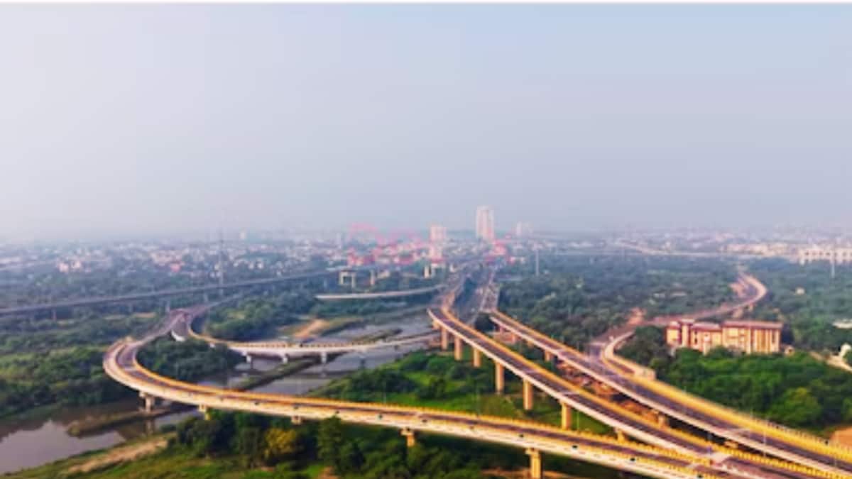
Barapullah Phase-III is a new road in Delhi.
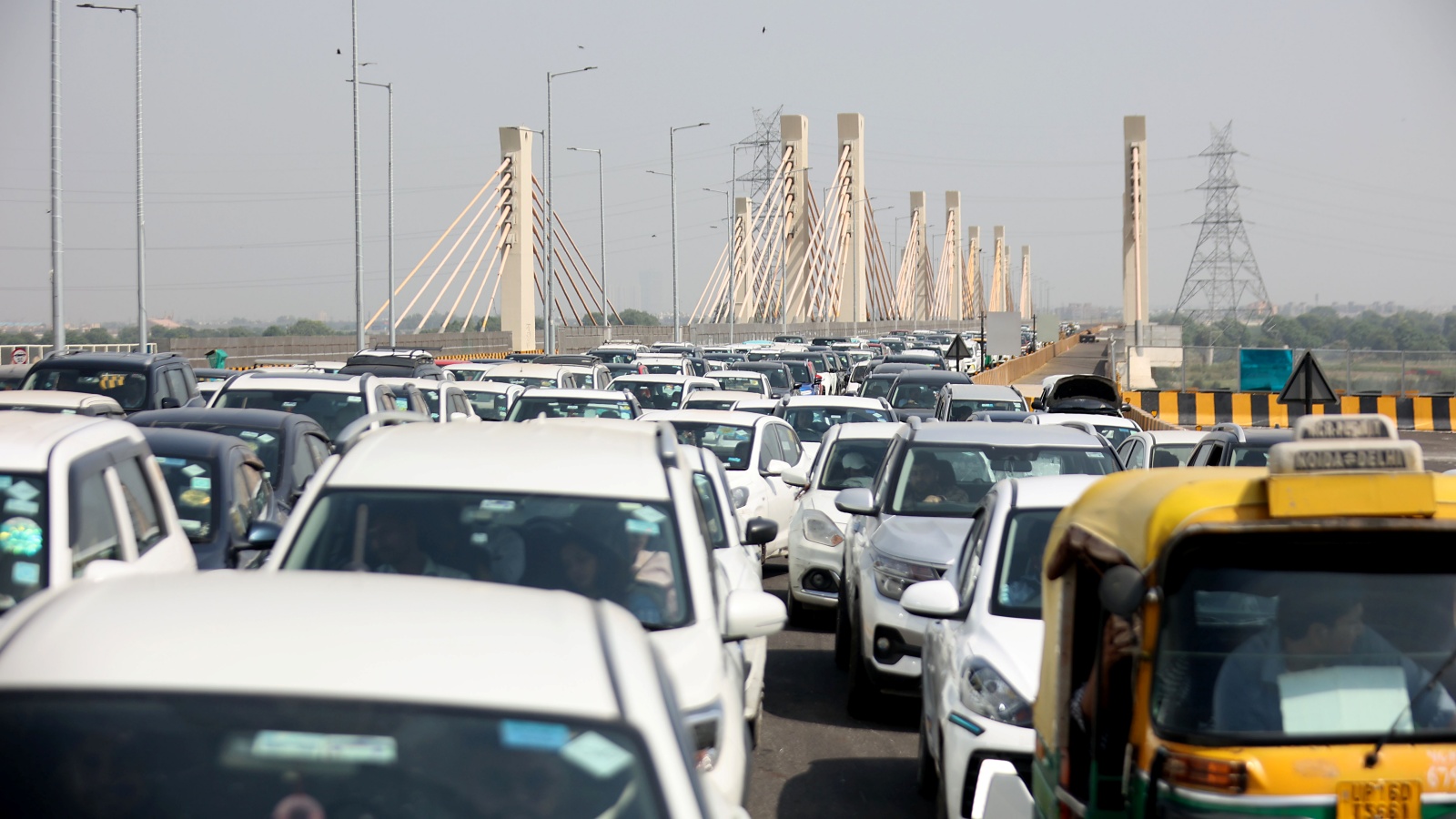
Many drivers are using it, and traffic is getting very slow.
Police said Google Maps showed the route as relatively clear, even though it was crowded.
A drone survey found a place near Sundial Park and Sarai Kale Khan where roads come together and traffic narrows.
A report also described several lanes narrowing into a single lane.
Police are working with Google Maps to improve the traffic information.
They have also asked drivers to follow police directions and take another route when advised.
The new road was intended to make some trips between East and Central Delhi quicker, but commuters have faced delays.

Delhi Traffic Police said Tuesday it is coordinating with Google Maps to improve traffic information for the newly opened Barapullah Phase-III corridor.
Police said Google Maps showed the route as relatively clear, potentially directing more commuters toward an already congested stretch.
A drone survey identified a bottleneck where traffic streams merge near Sundial Park and Sarai Kale Khan.
A News18 report attributed congestion partly to a design problem, describing multiple three-lane stretches narrowing into a single lane.
Police advised commuters to follow traffic directions and use alternate routes when advised, especially during peak hours.
- Who
- Delhi Traffic Police, Google Maps, and commuters using the Barapullah Phase-III corridor.
- What
- Police are coordinating with Google Maps over traffic information as congestion affects the corridor; a report also cites a lane-merging design bottleneck.
- When
- Police coordination was reported Tuesday, following a police post on X on Monday. The flyover opened on September 29, 2026, according to News18.
- Where
- The Barapullah Phase-III corridor in Delhi, including the merger near Sundial Park and Sarai Kale Khan.
- Why
- Police said the route was shown as relatively clear despite congestion, while reports also point to traffic streams narrowing where roads merge.
Navigation Data
Traffic Conditions and Road Layout
Whether the route appeared clear
Navigation Data
The police post described in the report said Google Maps showed the route as relatively clear, potentially directing commuters toward the stretch.
Traffic Conditions and Road Layout
Police and a drone survey identified congestion and a bottleneck at the merger near Sundial Park and Sarai Kale Khan.
What is contributing to congestion
Navigation Data
The reports say inaccurate or unclear Google Maps traffic information may lead commuters to choose the corridor.
Traffic Conditions and Road Layout
News18 also attributes congestion to the road layout, describing multiple three-lane streams narrowing into a single lane; police said traffic from routes including NH-24 and DND is adding to the load.
- Corridor
- Barapullah Phase-III in Delhi
- Police coordination
- Delhi Traffic Police said it is coordinating with Google Maps to ensure traffic conditions are accurately reflected.
- Reported opening
- News18 said the flyover opened on September 29, 2026.
- Bottleneck
- A drone survey identified a merger near Sundial Park and Sarai Kale Khan.
- Traffic sources
- Police said vehicles that would otherwise use NH-24 and DND are adding to traffic on the corridor.
- Design account
- News18 described multiple three-lane stretches narrowing into a single lane; police officers cited a bottleneck where lanes merge.
- Commuter advice
- Follow traffic advisories and police directions, and use alternate routes when advised, particularly during peak hours.