

11 hrs ago
Monsoon May Withdraw From Bengal Between October 8 and 14
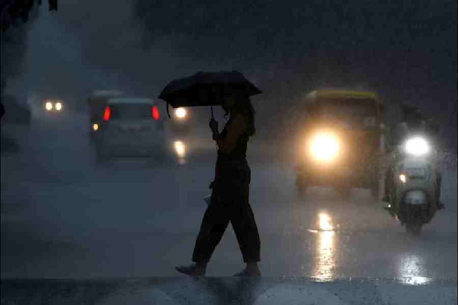
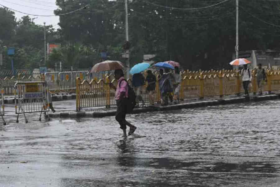
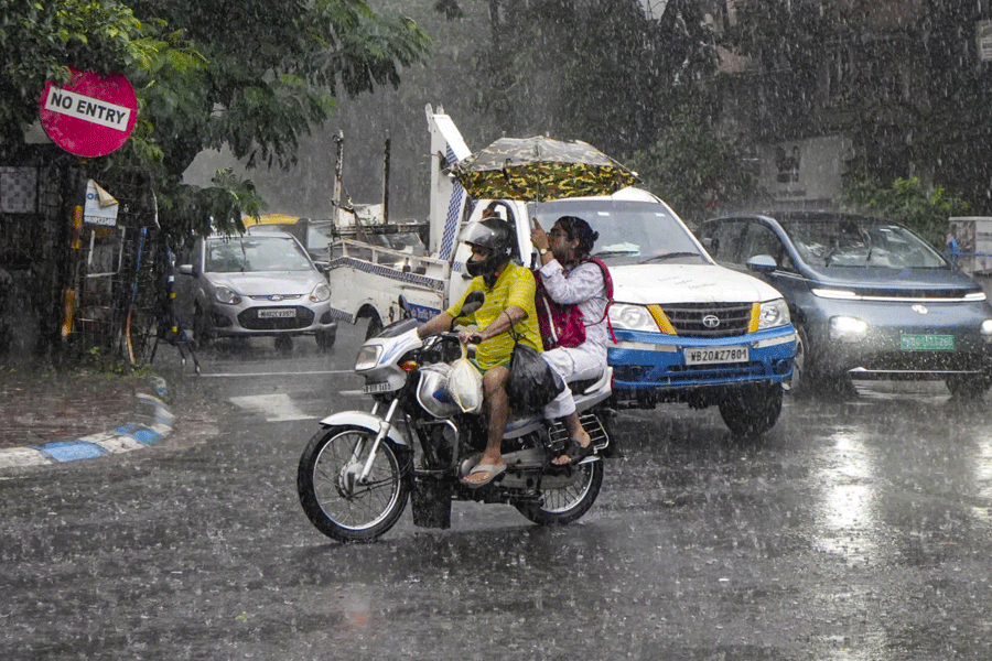
Rain and lightning arrived in the city on Sunday afternoon.
The rain was light and did not last long in most places.
Weather officials said heat and moisture helped create storm clouds.
The monsoon is getting ready to leave Bengal.
A forecast says it may withdraw between October 8 and 14, while the usual date is around October 10.
Monday may be cloudy, with a chance of light rain.
Some districts in north Bengal had heavy to very heavy rain, while much of south Bengal had lighter rain.

A brief, light spell of rain with frequent lightning hit the city on Sunday afternoon.
The Met office recorded less than 2mm of rain in Alipore and attributed the storm to heat and moisture.
An extended-range forecast issued October 1 said the monsoon may retreat from Bengal between October 8 and 14.
The usual date for the monsoon’s withdrawal from Bengal is around October 10.
Monday is forecast to be cloudy with a chance of light rain; heavy to very heavy rain was reported in parts of north Bengal.
- Who
- The India Meteorological Department (Met office) reported the weather and monsoon forecast.
- What
- A localized thunderstorm brought brief rain and lightning, while the monsoon is forecast to withdraw from Bengal between October 8 and 14.
- Where
- The city and Bengal; the report specifically mentions Alipore and north Bengal districts including Alipurduar, Jalpaiguri and Darjeeling.
- When
- The rain occurred Sunday afternoon; the forecast window for monsoon withdrawal is October 8–14, and light rain is possible Monday.
- Why
- The Met official said recent heat and moisture led to the formation of thunderclouds.
Key facts
- Rain recorded
- Less than 2mm in Alipore
- Monsoon withdrawal forecast
- October 8–14
- Usual withdrawal date
- Around October 10
- Forecast issued
- October 1
- Monday outlook
- Cloudy, with a chance of light rain
- North Bengal rainfall
- Heavy to very heavy rain at a few places in Alipurduar, Jalpaiguri and Darjeeling districts
Quotes
Met official
A meteorological department official commenting on the localised thunderstorm.
“An upper-air cyclonic circulation is over Sikkim and the neighbourhood at 3.1km above mean sea level. A trough runs from northeast Bihar to the northwest Bay of Bengal across Jharkhand and Gangetic West Bengal at 0.9km above mean sea level.”
 telegraphindia.com
“The past couple of days have been hot and humid. The pent-up heat and moisture led to the formation of thunderclouds.”
telegraphindia.com
Sources
Related news
Bengal May See Mostly Dry Puja as Monsoon Withdraws
Kolkata Dry Spell Continues as Scattered Rain Remains Possible
Rain Cools Kolkata After Hot, Humid Spell; Cyclone Alerts Rejected

Bengal Faces Heavy Rain And Thunderstorms Through September 9
Depression Likely Over Bay as South Bengal Rain Continues
Low-Pressure System May Bring Heavy Rain to Bengal

Family Businesses Learn Survival May Require Dividing Their Silver

Salt Lake Area Durga Puja Guide Highlights Kolkata’s Diverse Themes

Mamata Demands Gyanesh Kumar’s Resignation, Cites Bengal Poll Violence

Baguiati Club Brings Durga Puja ‘Collage’ to Life
