

Archive · 18 Aug 2025
Iran's GPS Disruption Creates Chaos on Tehran's Streets
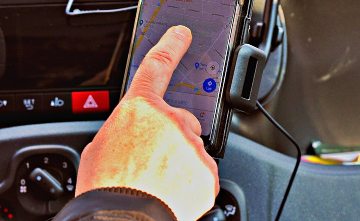
Imagine your phone's map suddenly got really confused, showing you in the wrong place.
That's what's happening in Tehran, Iran.
Since the end of the recent war with Israel, the government has been messing with GPS signals for security reasons.
This makes it hard for ride-sharing apps and maps to work, confusing drivers and hurting businesses.
People are worried about the economy, already struggling under sanctions.
The government might switch to a different navigation system from China, but it's a complicated and expensive change.

GPS disruption in Iran, following the Israel-Iran conflict, has caused significant problems.
The disruption, ongoing for nearly two months, affects ride-hailing apps, mapping services, and other location-based applications.
Iran's communications ministry cites 'security and military purposes' for the interference.
The Neshan mapping app saw a 15% drop in daily users and a 20% decrease in navigation activity.
Iran is considering alternatives to GPS, like the Chinese BeiDou satellite system, but it will be complex and costly.
- Who
- GPS users, ride-hailing drivers, and the Iranian government.
- What
- GPS disruption impacting navigation services in Iran.
- When
- Ongoing for nearly two months following the end of the Israel-Iran conflict.
- Where
- Tehran, Iran.
- Why
- For 'security and military purposes,' according to Iran's communications ministry.
Government Perspective
Public Perspective
Security vs. Economic Impact
Government Perspective
GPS disruption is necessary for security.
Public Perspective
GPS disruption is causing economic and social damage.
- GPS disruption duration
- Nearly two months
- Affected services
- Ride-hailing apps, mapping services, delivery platforms
- Cause of disruption
- Security and military purposes
- Mapping app user drop
- Neshan: 15%
- Navigation activity drop
- Neshan: 20%
- Alternative system
- Chinese BeiDou satellite system