Archive · 14 Aug 2025
Heavy Rains Lash India as Low-Pressure System Forms
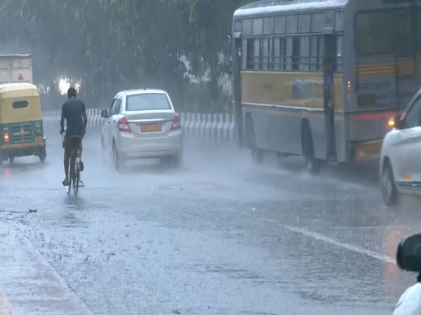
A storm in the Bay of Bengal has brought a lot of rain to parts of India.
Places like Andhra Pradesh, Yanam, Konkan and Goa are getting hit the hardest.
Other areas are also seeing heavy rain.
The storm is moving, and the weather might stay rainy for a while.
A weather pattern called MJO is also helping to bring the rain.
The US Climate Forecast System suggests the monsoon will remain active.

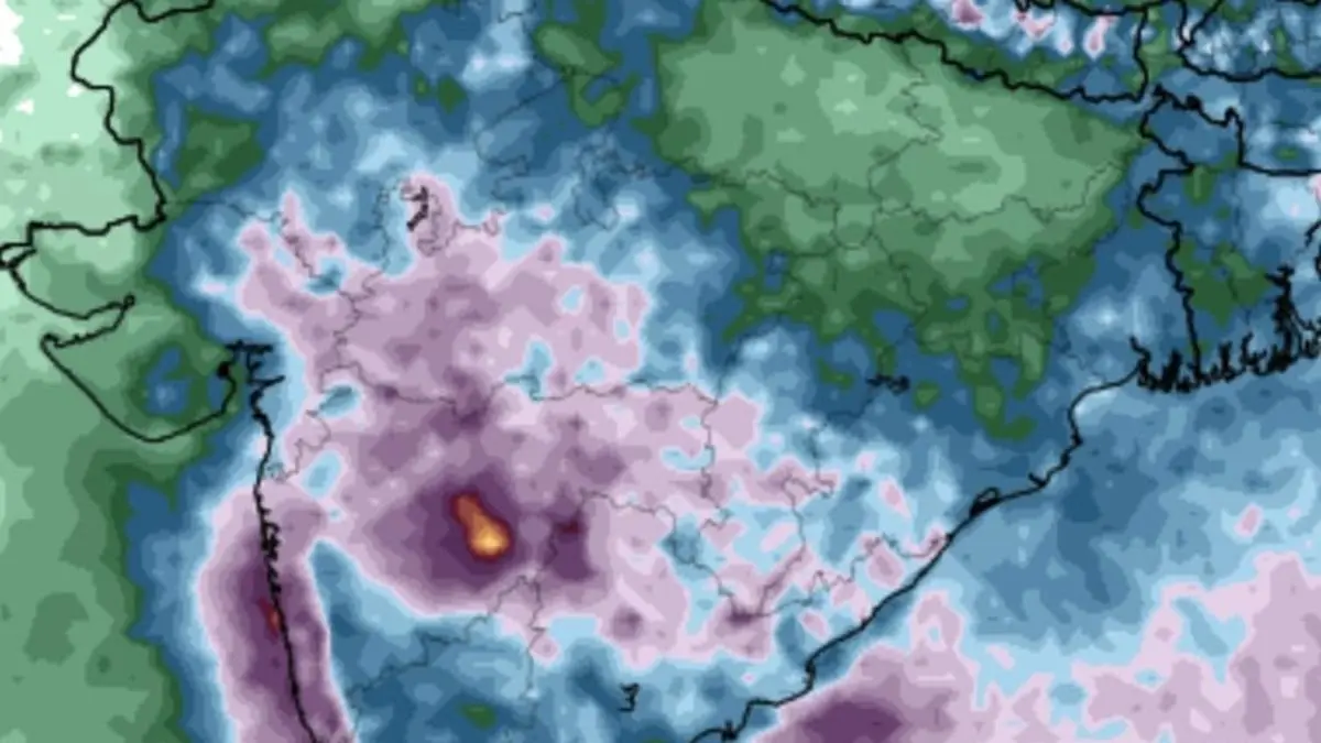
Low-pressure area forms over the Bay of Bengal, bringing heavy rainfall to Central and West India.
Extremely heavy rain reported in coastal Andhra Pradesh, Yanam, Konkan, and Goa.
Heavy to very heavy rain observed in West Bengal, Sikkim, Bihar, and other regions.
The low-pressure system is expected to move west-northwest towards south Odisha and north coastal Andhra Pradesh.
The monsoon is influenced by an incoming Madden-Julian Oscillation (MJO) wave, potentially extending the rainy spell.
- Who
- India Meteorological Department (IMD).
- What
- Heavy rainfall across Central and West India.
- When
- Ongoing, with the potential to continue into next week.
- Where
- Coastal Andhra Pradesh, Yanam, Konkan, Goa, West Bengal, and other regions in India.
- Why
- Due to a low-pressure area in the Bay of Bengal and the influence of a Madden-Julian Oscillation (MJO) wave.
- Low Pressure Area Location
- West-central and adjoining north-west Bay off north Andhra Pradesh and south Odisha
- Areas Affected
- Coastal Andhra Pradesh, Yanam, Konkan, Goa, West Bengal, and other regions
- Expected Movement
- West-northwest across south Odisha and north coastal Andhra Pradesh
- Contributing Factor
- Madden-Julian Oscillation (MJO) wave
- Published Date
- August 14, 2025
Sources
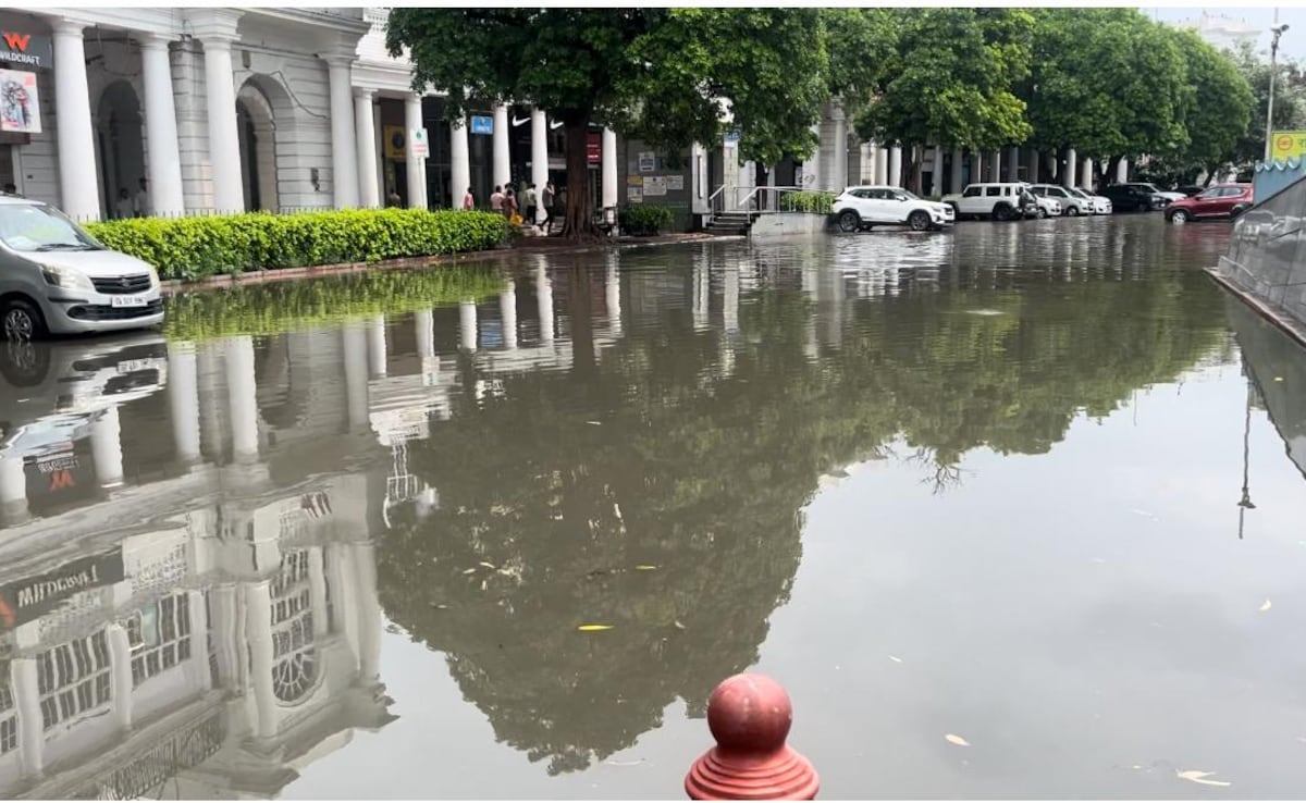
Delhi-NCR Wakes Up To Rain, Weather Department Issues 'Red Alert'

Why to avoid western Himalayas this Independence Day long weekend: ‘All conditions favourable…’
Heavy Rains Lash Delhi; Himachal Suffers Major Monsoon Damage

Heavy rains predicted in parts of AP amid low pressure area in Bay of Bengal