

Archive · 4 Aug 2025
Study Warns of Drastic Land Loss in Sunderbans by 2042
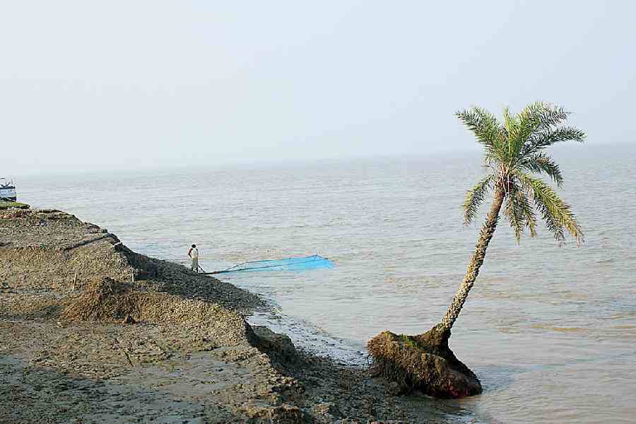
Imagine the sea is slowly eating away at the land on some islands in India.
A new study says that a big part of Ghoramara Island might disappear by 2042.
The water is taking away the land, which means people could lose their homes and farms.
It's also hurting the mangrove forests, which protect the islands from storms.
Some islands are losing lots of land, while one island is actually getting bigger!
Scientists are studying these changes to understand how the islands and the people who live there are being affected.

A study warns that the sea could erase 40% of Ghoramara Island by 2042.
Shorelines on multiple Sunderbans islands are projected to recede significantly, threatening homes and ecosystems.
The study, tracking shoreline changes over 50 years, identifies Ghoramara, Bhangaduni, and Dalhousie as most vulnerable.
Erosion on populated islands means lost homes and farmland, while uninhabited islands lose mangroves.
Nayachar Island is gaining land, potentially becoming a refuge for displaced residents.
- Who
- Researchers studied shoreline changes in East Midnapore and South 24-Parganas.
- What
- A study warns of significant land loss on Sunderbans islands due to erosion.
- When
- Erosion is projected to continue over the next 15 years, with data collected from 1972-2022.
- Where
- Sunderbans, specifically focusing on Ghoramara, Bhangaduni, and Dalhousie islands.
- Why
- Sea erosion threatens homes, food security, and ecosystems, particularly mangrove forests.
- Study Focus
- Shoreline changes over 50 years
- Most Vulnerable Islands
- Ghoramara, Bhangaduni, Dalhousie
- Ghoramara Shrinkage Projection
- 40% by 2042
- Ghoramara 2022 Area
- 3.3 sqkm
- Bhangaduni/Dalhousie Projected Loss
- Over 6sqkm by 2042
- Nayachar Land Gain
- Nearly 30sqkm since 1980